
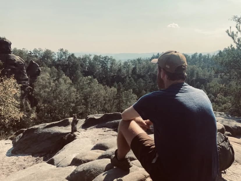
FritsFounder & hiker
Hi, I'm Frits.
I wanted one planner for multi-day trips: hiking, wildlife, camping and road trips. It didn't exist as one thing. Hut availability was on one site, bookings on another, wildlife on a third, and the rest I tracked in spreadsheets. So I built it myself: routes, accommodation, GPX tracks and highlights in one plan.
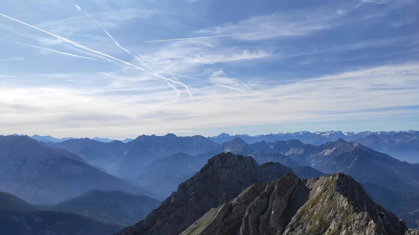
I've planned and walked a fair share of trips like this: the Malerweg, hut to hut in the Karwendel, the Peaks of the Balkans, and plenty of day hikes in New Zealand, Norway and elsewhere. Those trips taught me where things break down: half-finished bookings, routes with poor hut information, plans that stop matching reality on day one. Vandra fixes that.
I haven't walked every kilometre on this site myself. Distances, elevations and opening details come from official sources and I check them regularly. If something is off, let me know and I'll fix it.
No sponsored recommendations and no ads. Just a planner that works, built by someone who uses it themselves.
What Vandra Stands For
Route and accommodation in one plan
Every stage with its accommodation attached: you see per day where you walk and where you sleep, in one overview. No separate tabs.
GPX and figures from official sources
Every route has a GPX download, distances and elevation per stage, based on official figures from the trail organisations.
Offline maps and your route at hand
Take your plan into the app: offline maps, your route and stages available on the trail, and your position visible while you walk.
Ready to plan your next trip?
Browse our curated multi-day hikes and start your adventure with a plan you can trust.
Explore trips