
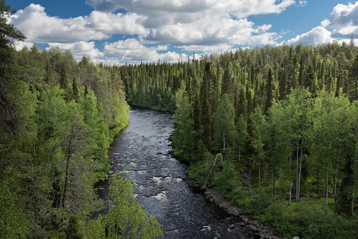
 Oulanka, Salla and Kuusamo · Finland
Karhunkierros Oulanka
Birch woods, canyons and rapids

About Karhunkierros Oulanka
Karhunkierros is the 82-kilometre walk from Hautajärvi in Salla through Oulanka National Park to Rukatunturi near Kuusamo, Finland's best-known long-distance trail. It runs almost entirely through pine forest and over sandy moraine ridges, with the Oulankajoki and Kitkajoki never far away.
The first day crosses the Oulangan kanjoni, a gorge the river cut into the sandstone over thousands of years, then two suspension bridges to the Kiutaköngäs rapids, where the water squeezes through a narrow cleft.
Between Ansakämppä and Jussinkämppä it goes quiet: small clearings, bogs and the long bank of the Kitkajoki, with huts you may use freely. At Jyrävä the river drops in a broad waterfall.
The last day climbs Valtavaara, 492 metres, where the whole valley opens up, then descends to Ruka.
Practical. The huts are free and cannot be booked: you sleep on the floor or in a tent and carry a sleeping bag, water comes from the rivers. Season June to September, best colours in the ruska from late August to mid September, worst mosquitoes in June and July. The Karhunkierros Express runs from Kuusamo airport and Ruka to Hautajärvi between 24 May and 30 September with a booking a day ahead. At the start the Karhunkierros Nature Centre and Napapiiri Cafe offer meals and a late check-in.
Stages Karhunkierros Oulanka
The Karhunkierros Oulanka is split here into 4 stages of 17 to 24 km, 83 km in total, from Hautajärvi to Rukatunturi. The stages below are a sample itinerary: in the planner you put together your own days and choose where you sleep.
Hautajärvi - Taivalköngäs
From the Karhunkierros Nature Centre at Hautajärvi through dry pine forest, past Rupakivi and the stream valleys to the Oulangan kanjoni at Savilampi, then south to the Taivalköngäs wilderness hut where the Ristikallio route joins.
Taivalköngäs - Jussinkämppä
Over two suspension bridges to Runsulampi, past the Oulanka visitor centre and the Kiutaköngäs rapids, then through the quietest part of the park along the Kitkajoki to the Jussinkämppä hut.
Jussinkämppä - Porontimajoki
Upstream past Päähkänä and Harrisuvanto over the moraine ridges, with the Kitkajoki valley on one side and the hills of the park on the other, to Siilastupa and the Jyrävä waterfall, then on to the old mill at Porontimajoki.
Porontimajoki - Rukatunturi
The last day climbs past Suolampi to the summit of Valtavaara at 492 metres, where the whole Oulankajoki valley opens up, then descends to Rukatunturi and the Ruka gondola.
FAQ
Below you'll find answers to some frequently asked questions.
Ready to Explore Karhunkierros Oulanka?
Start planning your adventure today!
Open this trip in the free Vandra mobile app and copy it to your own account, so you can edit it and plan freely, exactly the way you want.