
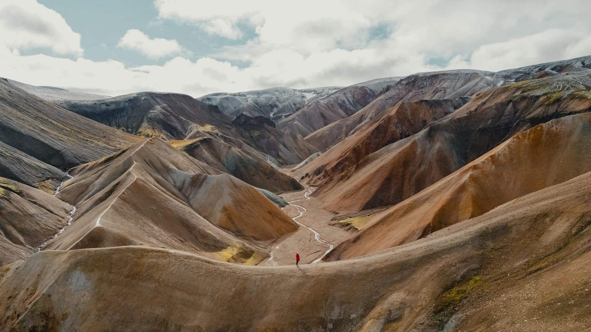
 Suðurland · Iceland
Laugavegur
Four days across the highlands

About Laugavegur
The Laugavegur runs 53 kilometres from Landmannalaugar to Þórsmörk, across the highlands of South Iceland. It is the country's best-known multi-day walk, and this route is the whole thing, hut to hut, in four days.
The first day climbs from the hot springs between the yellow rhyolite mountains to the plateau and the hut in the obsidian desert. The second drops across the plateau to the first green valley and the lake of Álftavatn. The third crosses black sand and green oases to the hut above the Markarfljót. The fourth descends through the canyon to Þórsmörk, between the glaciers.
The landscape changes every day: rhyolite and sulphur, obsidian and snow, black sand and green valleys. The weather can turn in an hour, with wind, rain and sleet, even in July.
Practical. The route is marked with posts and paint. The Ferðafélag Íslands huts must be booked in advance, months ahead in high season. A bus runs from Reykjavík to Landmannalaugar and back from Þórsmörk; the drive takes three to four hours.
Stages Laugavegur
The Laugavegur is split here into 4 stages of 10 to 16 km, 53 km in total, from Landmannalaugar to Þórsmörk. The stages below are a sample itinerary: in the planner you put together your own days and choose where you sleep.
Landmannalaugar - Hrafntinnusker
From the hot springs you climb between the yellow rhyolite mountains up to the plateau, past snowfields and sulphur springs, to the hut in the obsidian desert.
Hrafntinnusker - Álftavatn
Across the plateau and down past the mountains, with the first green valley and the lake of Álftavatn coming into view.
Álftavatn - Emstrur
Through a volcanic landscape of black sand and green oases, and across the river at Emstrur to the hut above the canyon.
Emstrur - Þórsmörk
The last stage drops through the Markarfljót canyon and runs between glaciers to Þórsmörk, with birch and wild rivers.
FAQ
Below you'll find answers to some frequently asked questions.
Ready to Explore Laugavegur?
Start planning your adventure today!
Open this trip in the free Vandra mobile app and copy it to your own account, so you can edit it and plan freely, exactly the way you want.