


About This Trip
For eight days this route follows the opening stages of the Grande Traversée du Vercors, the legendary long-distance trail the regional nature park designed itself. It starts above Grenoble, on the crest of the Moucherotte where the 1968 Olympic ski jump still stands above the valley, and finishes in Die, the Gallo-Roman town on the edge of Provence. In between: 137 kilometres, nearly 8,500 metres of ascent, and the full vertical range of a massif that grows both edelweiss and Mediterranean thyme.
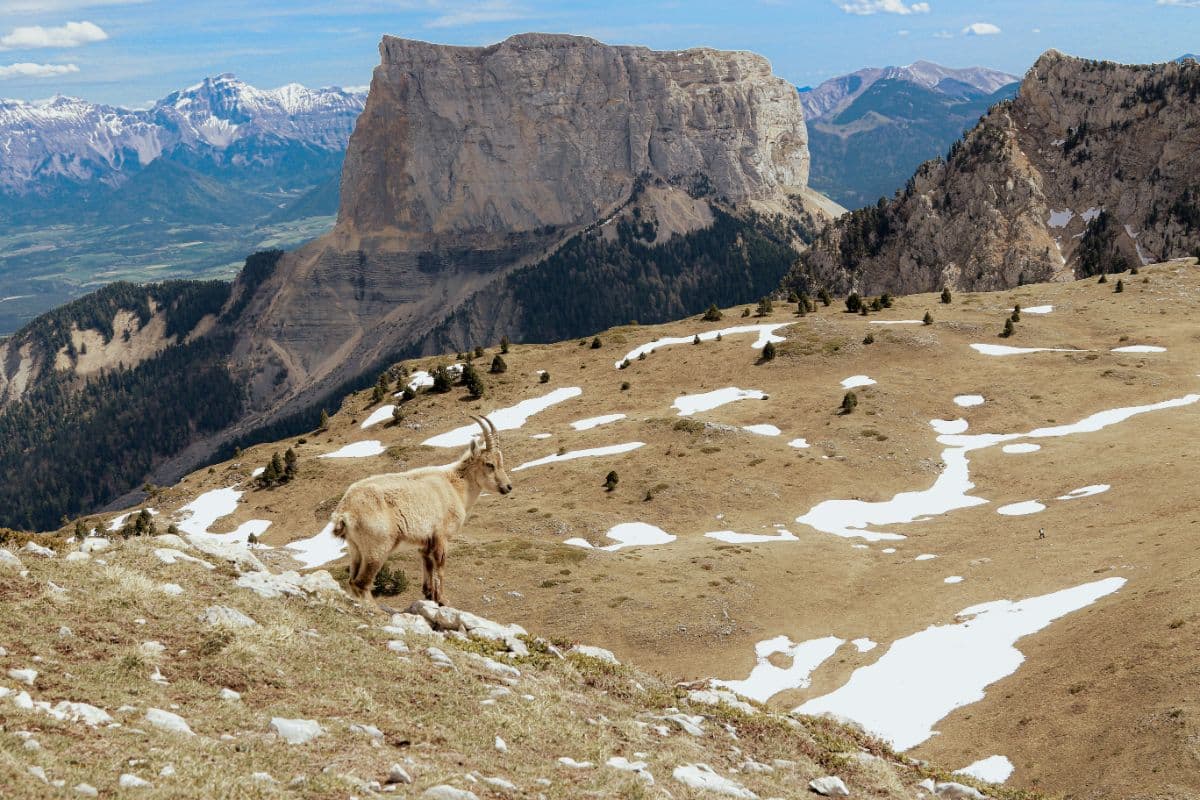
The first days are the most alpine. Along the eastern balcony shelf you walk beneath the Grande Moucherolle (2,285 m) and the rock faces of the eastern barrier, with that same open view of the whole Alpine chain, from Mont Blanc to the Écrins. From Gresse-en-Vercors the trail climbs onto the flanks of the Grand Veymont (2,341 m), the highest summit of the massif, and passes the Mont Aiguille, the 200-metre limestone needle locals call the seventh wonder of Dauphiné. Stages 5 and 6 cross the Réserve naturelle des Hauts-Plateaux, at 17,000 hectares the largest reserve on the French mainland: a bare, waterless karst plateau inhabited only by shepherds and their patou dogs, where you share the ground with marmots, ibex and, with luck, a bearded vulture.
The southern half changes the mood. The cirque d'Archiane, a half-circle of orange limestone walls, and the cliffs of Glandasse already belong to the Diois, where lavender and vineyards form the closing chord. In Die a glass of Clairette waits on a terrace: the reward for eight days above the clouds. In between you sleep in gîtes d'étape and small hotels that have welcomed walkers for decades, and every evening a village clock still chimes over your dinner.
Practical
Route and stages. Eight day stages between 12 and 21 kilometres, 780 to 1,310 metres of ascent per day, waymarked with the GTV signposting and partly shared with the GR91. Every stage ends in a village or hamlet with accommodation: Villard-de-Lans, Col de l'Arzelier, Saint-Andéol, Gresse-en-Vercors, Chichilianne, Les Nonières, Châtillon-en-Diois and Die.
Season. June to late September is the window: in May snow often still holds on the Hauts-Plateaux, after autumn the gîtes close. Book your nights well ahead, because the gîtes d'étape along the route are small and the season short.
Getting there. Grenoble is the practical gateway: a regional bus runs up to Saint-Nizier-du-Moucherotte. At the finish, Die has a railway station with direct trains towards Valence and the TGV connection at Valence TGV.
Stages
Planning a multi-day hike often takes more time than expected. Which route matches your experience level? Where will you stay overnight? Are the accommodations available? We have done the preparation for you. With carefully curated routes, accommodations and highlights, you can easily plan your next adventure.
Saint-Nizier-du-Moucherotte - Villard-de-Lans
The day opens above Grenoble, past the concrete frame of the 1968 Olympic ski jump that still watches over the valley. Along the crest to the Moucherotte (1,901 m), where on a clear day the whole Alpine chain from Mont Blanc to the Écrins lines up in a single glance. Then it settles: the Ramées plateau, the Lans-en-Vercors valley, and by the Gobert path, a narrow ledge above the valley, down into Villard-de-Lans, the only real town on this route.
Villard-de-Lans - Col de l'Arzelier
First into the vallon de la Fauge, with the waterfall of the same name behind Villard. Then the trail climbs to the Col Vert and tips back onto the eastern flank: from here to Gresse you walk for days beneath the limestone walls of the eastern barrier, on narrow paths between stone and scree, with the Isère valley 1,200 metres straight below. The stage ends at the Col de l'Arzelier, a mountain pass with a hotel and a striking view of the Grande Moucherolle.
Col de l'Arzelier - Saint-Andéol
The shortest stage, and one of the finest: a winding line beneath the Grande Moucherolle, over the Bois Ras and past the Rocher du Playnet, always with that open view of the northern chain of the massif. Halfway you can take your pick: to the right the Grande Moucherolle (2,285 m) and the Tête des Chaudières, to the left the Bourne valley. The drop into Saint-Andéol, a hamlet of thirty houses with a bivouac ground, feels like coming home to an alpine meadow.
Saint-Andéol - Gresse-en-Vercors
Back on the balcony path, now via the Tours du Playnet and the Grandes Tartices, as the plateau grows drier and higher. The Abri de la Peyrouse, an open shelter, offers the finest terrace of the day with a view across the whole eastern barrier. From the Grand Brisou (1,674 m) the route tips south, and by the Rocher du Cléton the double pyramid of the Grand Veymont (2,341 m) appears for the first time, the roof of the Vercors. The stage ends in Gresse-en-Vercors, at 1,240 metres the highest village of the massif.
Gresse-en-Vercors - Chichilianne
The Mont Aiguille day, with the needle constantly in sight. Via the Baraque du Veymont and the Tiolache the route descends to the hamlet of La Bâtie with its typical Trièves houses, then climbs again to the Col des Pellas and the Col de Papavet, where it makes a brief incursion into the Réserve naturelle des Hauts-Plateaux. The descent to Chichilianne runs along the foot of the Mont Aiguille itself, the 200-metre limestone needle that has been called the seventh wonder of Dauphiné since the sixteenth century.
Chichilianne - Les Nonières
A calmer day, with the heavy work up front: via Tapas de Bégoud to the Pas de l'Essaure, the gate into the heart of the nature reserve. After that clearings and forest alternate, over paths, forest tracks and a few quiet asphalt kilometres, as the landscape slowly turns Provençal. The stage ends at Les Nonières, a hamlet of the commune Saint-Julien-en-Quint, deep in the Quint valley.
Les Nonières - Châtillon-en-Diois
The day of the cirque d'Archiane, the most photographed amphitheatre of the Vercors: a half-circle of orange limestone walls above a green meadow. After a forest track to Bénevise the route follows a beautiful path along the barrier to the hamlet of Archiane, then over the Col Gorodel to Châtillon-en-Diois, a medieval village ringed by vineyards, where the Clairette already glitters on every restaurant menu.
Châtillon-en-Diois - Die
The closing stage runs along the flanks of the montagne de Glandasse, the enormous rock wall hanging above the Diois. Through black-pine forest to the Col des Caux and the Col de l'Abbaye, each with a last look back at Châtillon and its vineyards. The descent passes the Abbaye de Valcroissant, a twelfth-century Cistercian abbey that welcomes walkers as a gîte, and over the Pas de Bret into Die, where Roman gates, an archaeological museum and a terrace with Clairette de Die close the route.
FAQ
Below you'll find answers to some frequently asked questions.
Ready to Explore Tour du Vercors?
Start planning your adventure today!
Open this trip in the free Vandra mobile app and copy it to your own account, so you can edit it and plan freely, exactly the way you want.
More trips nearby
Discover other curated multi-day hikes nearby, handpicked by our community.
 Corsica · France
GR20
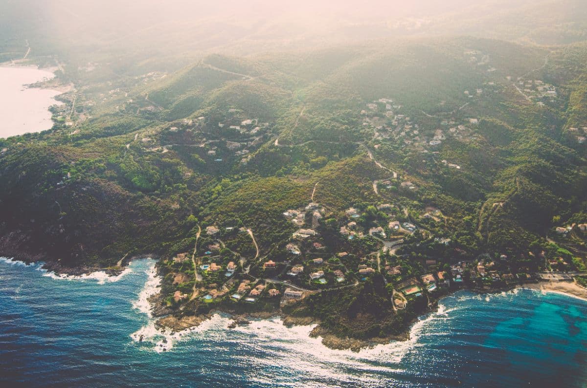
The legendary and famously hard long-distance trail across Corsica: fifteen refuge-to-refuge stages from Calenzana to Conca, over granite, through high cirques and along the aiguilles de Bavella.

 Mont Blanc massif · Switzerland, France, Italy
Tour du Mont Blanc
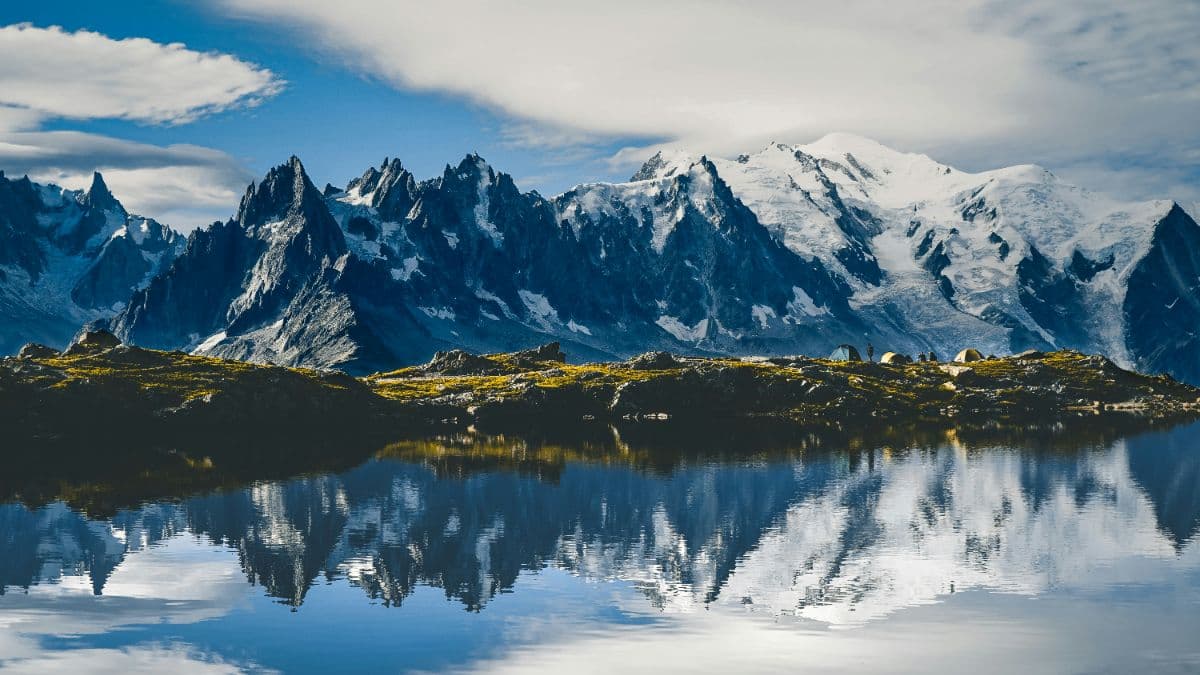
The classic walk around Mont Blanc: 164 kilometres, three countries, eleven stages from 10 to 21 kilometres, and every day a balcony view of the highest mountain in the Alps.