


About This Trip
There are long-distance trails, and there is the GR20. For over fifty years this line across the mountains of Corsica has been the benchmark that every other trek in Europe gets measured against: roughly 180 kilometres from Calenzana, above the Bay of Calvi, down to Conca near the southeast coast, fifteen refuge-to-refuge Etappen (stages), and around 12,000 metres of climbing packed into an island you could drive across in three hours.
The GR20 does not really cross the mountains of Corsica. It goes straight over them. The route rides the island's granite backbone, and the numbers keep coming: Bocca di Stagnu at 2,010 metres, the Breche de Capitello at 2,225 metres, the highest point of the whole route, with Monte Cinto, at 2,706 metres Corsica's roof, standing over the northern half. You cross slabby rock polished by ten thousand boots, clip through chain-secured steps where the trail simply goes up a wall, and drop through cirques where the 2016 rerouting of the Cirque de la Solitude still gets argued about at refuge tables. Then the character changes south of Vizzavona: the high grassy ridges of the Coscione plateau, pozzines dotted with wild horses, and the finale through the aiguilles de Bavella, a forest of granite needles that is one of the most photographed places on the island.
Nights are the rhythm of the trail. Each stage ends at a refuge of the Parc naturel regional de Corse: about thirty bunks, a bivouac field, a warden who cooks, a small shop and outdoor gas burners. Meals are ordered on arrival and the day's walk is planned over dinner with hikers who started in Calenzana the same morning. Halfway lies Vizzavona, the one big logistical release valve: a train station on the Bastia-Ajaccio line, hotels, and the point where many walkers split the traverse into a northern and a southern week.
Practical. The refuges are staffed from 16 May to early October; outside that window the high route is not a through-hike. Every night on the route, bunks and bivouac pitches alike, must be reserved in advance on the official park booking site, and the quota per refuge is real: book the moment reservations open for your season. Expect 20 euro for a bunk, 12 euro for a bivouac pitch, with meals ordered on site. Arrive before 19:00 or your booked place is released. The route is marked throughout with the classic white-and-red GR flashes, but waymarking is not a substitute for reading the terrain: this is a route for experienced mountain hikers with a head for exposed, hands-on passages.
Stages
Planning a multi-day hike often takes more time than expected. Which route matches your experience level? Where will you stay overnight? Are the accommodations available? We have done the preparation for you. With carefully curated routes, accommodations and highlights, you can easily plan your next adventure.
Calenzana - Ortu di u Piobbu
The first day sets the tone and does not apologise for it. From the fountain square of Calenzana the mule track climbs steadily out of the maquis, and halfway up, on the Arghjova promontory, the trail stops being a path and becomes a scramble. The sea stays with you until the Bocca a u Saltu, where tired legs get a first reward: a soft grass saddle looking straight back down at the Bay of Calvi. Then a final heave to the Ortu di u Piobbu refuge at 1,520 metres, sitting alone under a wall of granite towers.
Ortu di u Piobbu - Carozzu
Up and down all day between little passes, over scree that slides and slabs that grip, but the show is above you: the granite towers of the Paglia Orba massif keep the camera busy. After Bocca d'Avartoli and the Bocca di l'Innominata the long descent starts, and the Carrozzu refuge reveals itself on a terrace above the Fango valley, with the sea back in view. Short in kilometres, long in concentration.
Carozzu - Ascu Stagnu
The day opens with the Spasimata footbridge, a suspension bridge slung over a gorge that has been testing GR20 nerves for thirty years, and closes via the turquoise circle of the Lac de la Muvrella, where the trail tops out above 2,000 metres. A steep corridor down, then laricio pines, some of them centuries old, walk you into the Haut Asco ski resort. Note the warning the wardens repeat every evening: no drinking water on this stage.
Ascu Stagnu - Tighjettu
The famous one. This stage crosses what was the Cirque de la Solitude, for decades the most feared hour of the GR20, rerouted in 2016 onto a long, high line that trades the rotten fixed ropes for exposure and a very long day. You climb over 1,000 metres and descend almost as much, over rock that needs hands, with Monte Cinto, Corsica's 2,706-metre roof, filling the skyline. The Tighjettu refuge at 1,700 metres, in its green hanging valley under Monte Cintu, feels like the end of an expedition.
Tighjettu - Ciottulu di i Mori
A short stage with a summit feel. Over the Bocca di Funtanelle the trail leaves the trees behind for good, and in under four hours you stand at the Ciottulu di i Mori refuge: 2,000 metres, the highest refuge of the GR20. The afternoon is yours: paghjella songs around the terrace, a climb towards the Pointe des Cascades for the view, or just rock-watching, because from here the roof of Corsica has moved to eye level.
Ciottulu di i Mori - Manganu
The long day, but the kindest walking of the north half. From the refuge the trail drops past a remarkable pair of granite erosion forms, the Tafunata hole in the ridge, into the lake country: the Lac de Nino, ringed by pozzines, the springy wet meadows where the wild horses graze and every stream is a swimming pool. Fifteen kilometres of plateau and valley to the Manganu refuge, under the high wall of the Monte Rotondo massif.
Manganu - Pietra Piana
Crossing day into the Rotondo heartland, and the highest point of the whole GR20: the Breche de Capitello at 2,225 metres, a notch in the massif between two sheer walls. The little lake just below, the Lac de Capitello, is the photo everyone takes and no photo does justice to. Down the other side through the Septime valley of boulders and lakes to the Pietra Piana refuge, perched high enough to watch the weather come in from all four sides.
Pietra Piana - Refuge de l'Onda
A ridge day. The trail follows the crest eastwards for hours, riding the granite spines with the lights of Corte appearing in the Tavignanu valley below when the clouds allow it, then ducks into pine forest for the descent to the Onda refuge, the smallest overnight stop of the route: a handful of bunks, a big green bivouac field, and shepherds at work on the plateau around it.
Refuge de l'Onda - Vizzavona
Halfway, and the north signs off with a procession of water. Down through the beech forest past the cascades des Anglais, the stepped falls in the Vizzavona gorge where hikers have celebrated (or mourned) finishing the hard half for a century, to Vizzavona itself: the station on the Bastia-Ajaccio line, a hotel bar with proper coffee, and the junction where one week's team says goodbye to the next.
Vizzavona - Capannelle
The south starts gentler and deceptive. A patrol path through the huge laricio forest of Vizzavona, the biggest of the island, then up over the Bocca d'Oru, where on a clear evening the Tuscan islands sit on the Tyrrhenian horizon like a row of ships. The bergeries de Capannelle, on their grassy saddle under the Monte Renoso, close the day with what walkers of the south half will get used to: more comfort, fewer chains.
Capannelle - Prati
Grass ridges and big views, the classic rhythm of the south. The trail plays with the crest all day, in and out of beech shade, until the bergeries de Prati appear on a high green platform with the whole Coscione plateau stretching away to the south. This is shepherd country: cheese, dogs that mean business, and the first wild horses that decide the trails belong to them.
Prati - Usciolu
The arête day of the south. The trail threads along the rocky crete des Statues, where wind-carved granite menhirs stand along the ridge like spectators, with air on both sides and the Bavella needles already on the horizon. A big climb and a rocky balcony descent to the Usciolu refuge, one of the busiest bookings of the whole route, so a day where dinner talk is all about who got a bunk.
Usciolu - Asinau
Plateau day, and the south at its most relaxed: across the Coscione, a huge elevated grassland of pozzines, streams and grazing horses, with Monte Incudine, at 2,134 metres the highest peak of the southern half, closing the view ahead. The walk stays on grass almost the whole way, via Bassetta and its sheep-cheese bergeries, before the last climb up to the Asinau refuge, where the evening light drops straight through the aiguilles de Bavella.
Asinau - Paliri
The day the GR20 does Bavella. A high traverse under the aiguilles, those crumbling granite needles up to 900 metres tall, with the famous trou de la Bombe window opening a frame onto the north face halfway. The route then commits to its last big circuit of the high mountains, dropping through the forest of Ospedale's edges to the Paliri refuge, where the sea has crept close enough to smell.
Paliri - Conca
The farewell. A long, wooded descent through the chestnut country above Conca, past a last oratory and the last views back at the Bavella towers, all the way down to the village at 150 metres. Somewhere between the church and the first cold drink the arithmetic happens: fifteen days, twelve thousand metres, one island. The GR20 is done the way it should be, on foot, end to end.
FAQ
Below you'll find answers to some frequently asked questions.
Ready to Explore GR20?
Start planning your adventure today!
Open this trip in the free Vandra mobile app and copy it to your own account, so you can edit it and plan freely, exactly the way you want.
More trips nearby
Discover other curated multi-day hikes nearby, handpicked by our community.
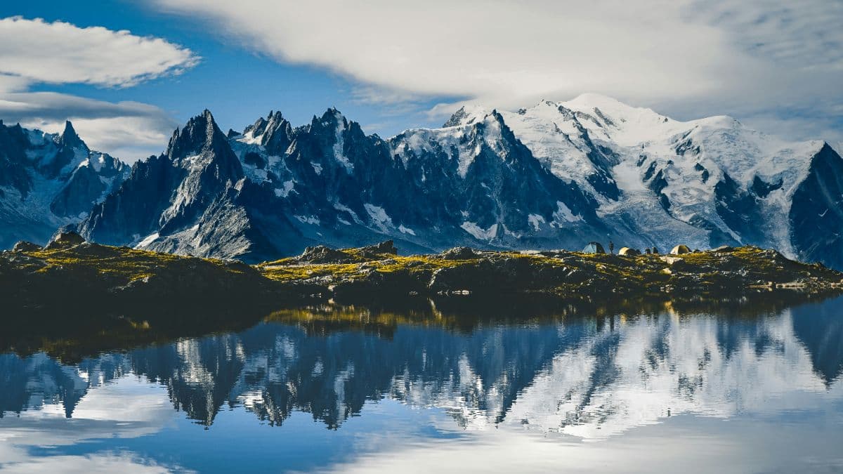


 Mont Blanc massif · Switzerland, France, Italy
Tour du Mont Blanc
The classic walk around Mont Blanc: 164 kilometres, three countries, eleven stages from 10 to 21 kilometres, and every day a balcony view of the highest mountain in the Alps.
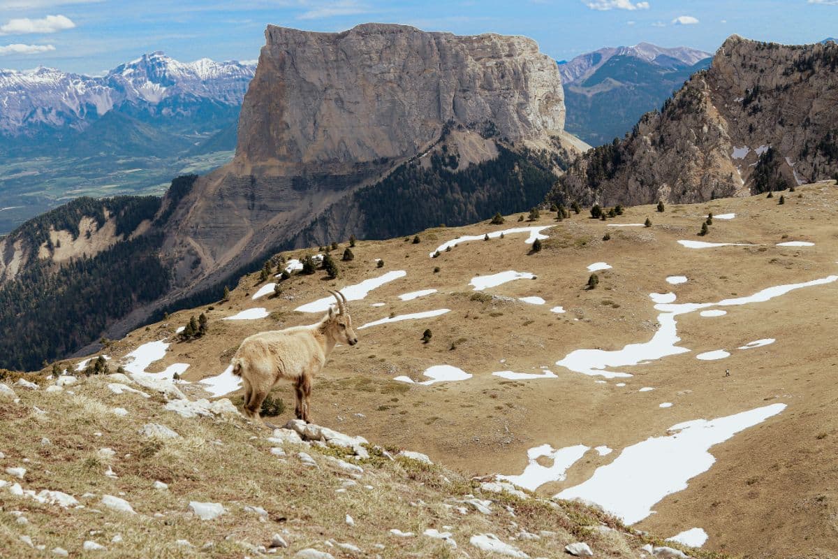 Vercors · France
Tour du Vercors
Eight days along the eastern balconies, the Hauts-Plateaux reserve and the southern valleys of the Vercors, from Saint-Nizier-du-Moucherotte to Die.