
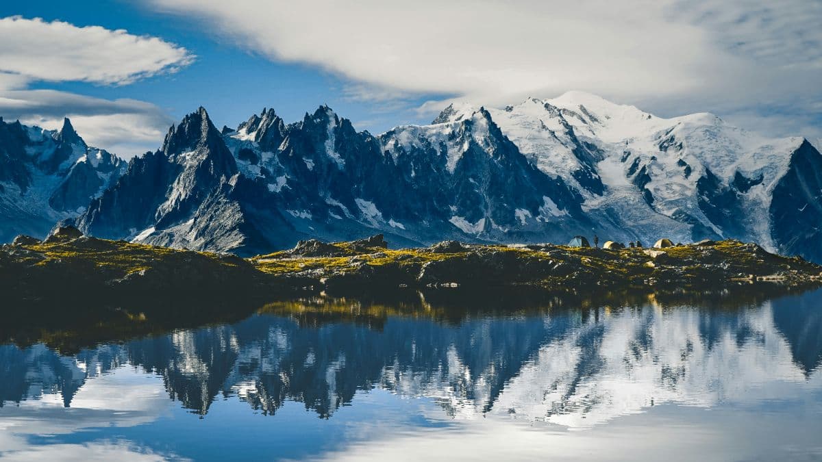
 Mont Blanc massif · Switzerland, France, Italy
Tour du Mont Blanc
Around the ice king of the Alps in 11 days

About This Trip
No mountain in the Alps has a walk of its own. Mont Blanc does: the Tour du Mont Blanc, the classic long-distance hike around the ice king of the massif, 164 kilometres and eleven Etappen (stages) through France, Italy and Switzerland, every day ending somewhere new with the highest mountain of the Alps back in view. It is one of the world's great walks, and this is the complete counter-clockwise tour from Les Houches back to Les Houches.
Col de la Croix du Bonhomme (2,412 m) above the wild Chapieux valley, Col de la Seigne (2,516 m) where France becomes Italy and the Glacier de Miage spills its grey moraine towards Courmayeur, Grand Col Ferret (2,537 m) where Italian Val Veny turns into Swiss Val Ferret. On this variant the tour also takes its two famous detours: the Fenêtre d'Arpette (2,665 m), the highest point of the whole walk, a rough scree gap opposite the Trient glacier, and the Lac Blanc variant, where day 9 climbs past the Aiguilles des Posettes to the lake with the Mont Blanc massif mirrored in it and the aiguilles of Chamonix overhead.
You walk through three cultures in eleven days. The Beaufortain cheese farms and the Notre-Dame de la Gorge pilgrim road of stages 1 and 2; the Italian side with Courmayeur's cobbled lanes, espresso and the Rifugio Bonatti terrace under the Grandes Jorasses; the Swiss side with the Arpette fenêtre, Champex-Lac's lake-front pines and the Trient glacier. Waymarking is excellent the whole way (GR TMB, white-and-red). The days are long but honest: 10 to 21 kilometres, up to 2,070 metres of ascent on the sportive Lac Blanc day, and every stage ends at accommodation.
Practical. No technical climbing, but sure-footedness, a head for height and good knees matter: the Fenêtre d'Arpette and the Posettes-Lac Blanc traverse are real mountain days with scree and short steep sections. Snow patches linger on the high passes into June; the season is July to early September. Book mountain refuges months in advance (demi-pension is the norm), carry cash because some huts do not take cards. Trains serve Les Houches (start and finish), Saint-Gervais and Vallorcine; buses and shuttle services fill the gaps.
Stages
Planning a multi-day hike often takes more time than expected. Which route matches your experience level? Where will you stay overnight? Are the accommodations available? We have done the preparation for you. With carefully curated routes, accommodations and highlights, you can easily plan your next adventure.
Les Houches - Les Contamines
The tour starts gently: cable car or forest path up to the Bellevue balcony, then the long traverse under the Bionnassay glacier with its hanging footbridge. The pilgrim road through Notre-Dame de la Gorge leads into the valley and finally to Les Contamines, a proper mountain village with a bar terrace worth the day's effort.
Les Contamines - Les Chapieux
The first real pass day. Over the Col du Bonhomme and the Col de la Croix du Bonhomme (2,412 m) with the Refuge de la Balme, then a long high descent into the wild valley of the Chapieux, where the road ends and the valley is only huts, sheep and the noise of the torrent. This is the day the tour puts on its boots: two passes in one morning, and the beaufort herds still grazing the summer grass along the ridge.
Les Chapieux - Refuge Elisabetta
A short day over the Col de la Seigne (2,516 m), the border between France and Italy. The track climbs the quiet valley, passes the Ville des Glaciers cheese farm, and the pass opens the first Italian view: the Glacier de Miage pouring its grey moraine towards the Italian valley. Take it slow: the afternoon is short, and the terrace of the refuge is the place to watch the evening light climb the glacier.
Rifugio Elisabetta - Courmayeur
Mostly downhill and all reward: along the Lac Combal and the boulder field of the Miage glacier, through pine forest past a chapel tucked between the moraines, and down into Val Veny to end in Courmayeur, where espresso and cobbled lanes wait. Lunch in Courmayeur is not optional, it is tradition: the tour dips deep into town before climbing again tomorrow.
Courmayeur - Rifugio Bonatti
Climb out of Courmayeur through the forest to the Rifugio Bertone balcony, then a spectacular high traverse with the Mont Blanc range in full view to the hut named for Walter Bonatti, terrace facing the Grandes Jorasses. The evening light on the Grandes Jorasses from the Bonatti terrace is the reason walkers cross the Alps.
Rifugio Bonatti - La Fouly
The Grand Col Ferret day (2,537 m): Italy ends, Switzerland begins. Through the old McNair-Erna hut and the green head of the Val Ferret, then a long descent through larch forest to La Fouly, a tiny village with a big camp site. The pass itself is a rolling green saddle; the border stone is a favourite photo stop before the long Swiss descent.
La Fouly - Champex-Lac
The easiest stage: a gentle valley walk through Swiss hamlets with their geraniums and water fountains, over the Forgelet ridge, and down to Champex-Lac, where the alpine lake and pine trees look like Canada without the bears. Short day, long afternoon: swim in the lake, dry your boots in the sun, and let the legs recover for the two big days ahead.
Champex-Lac - Trient
The Bovine day, and the gentle one: through the forest up to the high alp of Bovine (1,987 m), where the whole Rhône valley lies below and the Grand Combin stands opposite. Over the Collet de Portalo (2,049 m) the path drops past the Chalet de la Giète to the Col de la Forclaz and down into Trient. The standard route trades the Fenêtre d'Arpette drama for a balcony walk with the widest views of the whole tour.
Trient - Col des Montets
Back to France: a steady climb over the Herbageres pastures and the Col des Posettes (1,997 m), with the Chamonix aiguille range appearing behind you, then the descent to the Col des Montets (1,461 m) on the Swiss border. The Argentière glacier fills the horizon for most of the day. A calm day after the big passes, and the gate back into the Chamonix valley.
Col des Montets - Refuge Flégère
The lake day: past Tré-le-Champ, up the ladders beside the Aiguillette d'Argentière to the Lacs des Chéserys and Lac Blanc (2,352 m), where the Mont Blanc massif is mirrored in the water, and on to the Refuge de la Flégère. Short on paper, but 1,000 metres of climbing; the lake is the reward nobody photographs just once.
Refuge Flégère - Les Houches
The last balcony and the goodbye: from Flégère over the Col de Brevent's ridge shoulder and down the long forest descent to Les Houches, where the tour ends where it began, 164 kilometres and eleven days later. The long descent takes the last of the energy; end with a coffee on the Les Houches main street and look up one more time.
FAQ
Below you'll find answers to some frequently asked questions.
Ready to Explore Tour du Mont Blanc?
Start planning your adventure today!
Open this trip in the free Vandra mobile app and copy it to your own account, so you can edit it and plan freely, exactly the way you want.
More trips nearby
Discover other curated multi-day hikes nearby, handpicked by our community.
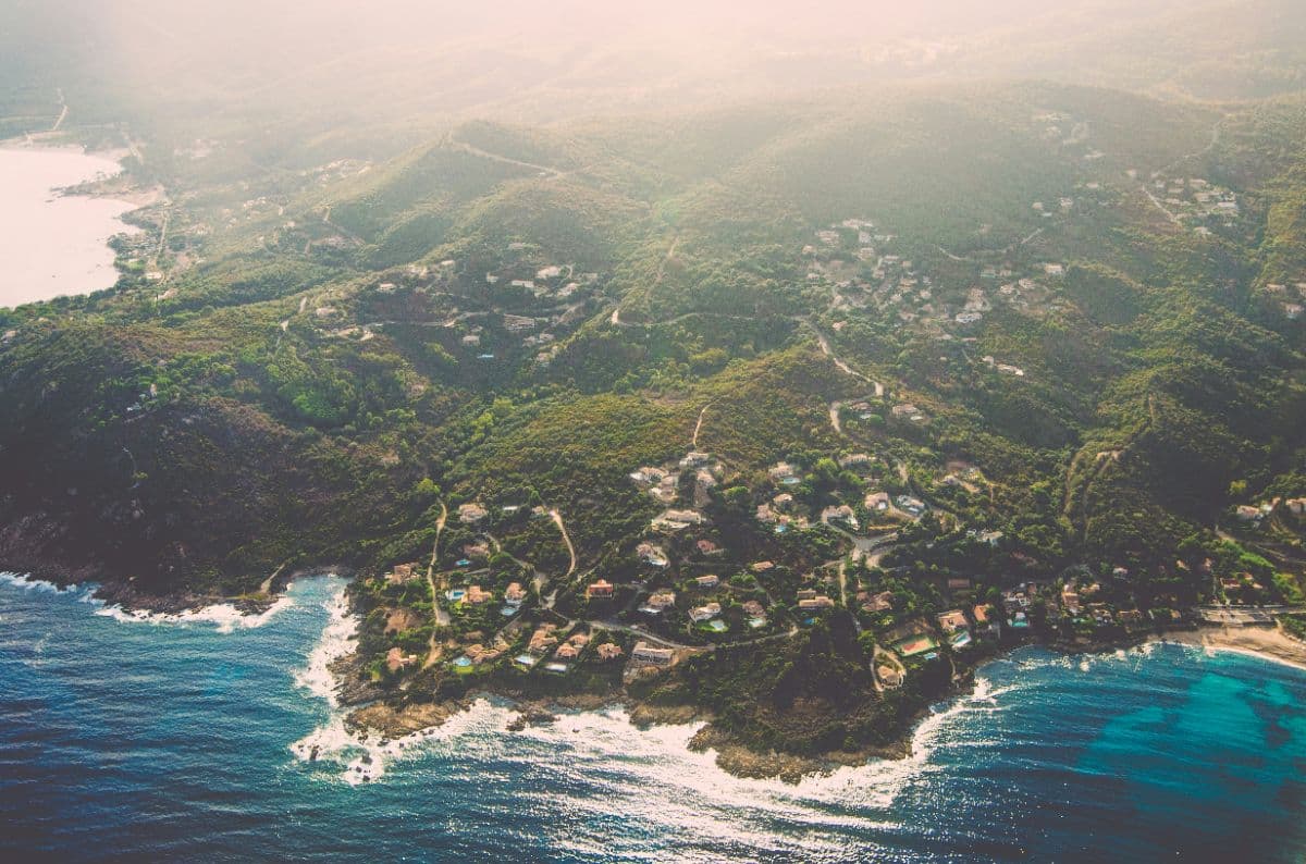
 Corsica · France
GR20
The legendary and famously hard long-distance trail across Corsica: fifteen refuge-to-refuge stages from Calenzana to Conca, over granite, through high cirques and along the aiguilles de Bavella.
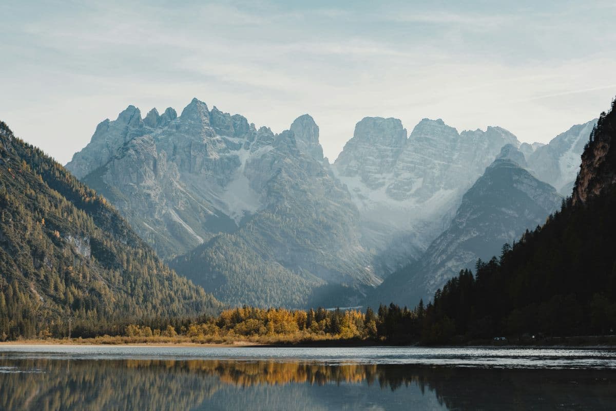
 Dolomites · Italy
Alta Via 1
Twelve days hut to hut through the heart of the Dolomites: from Lago di Braies over the Fanes plateau and the Lagazuoi, past Cinque Torri and Pelmo to the wild finale under the Schiara above Belluno.
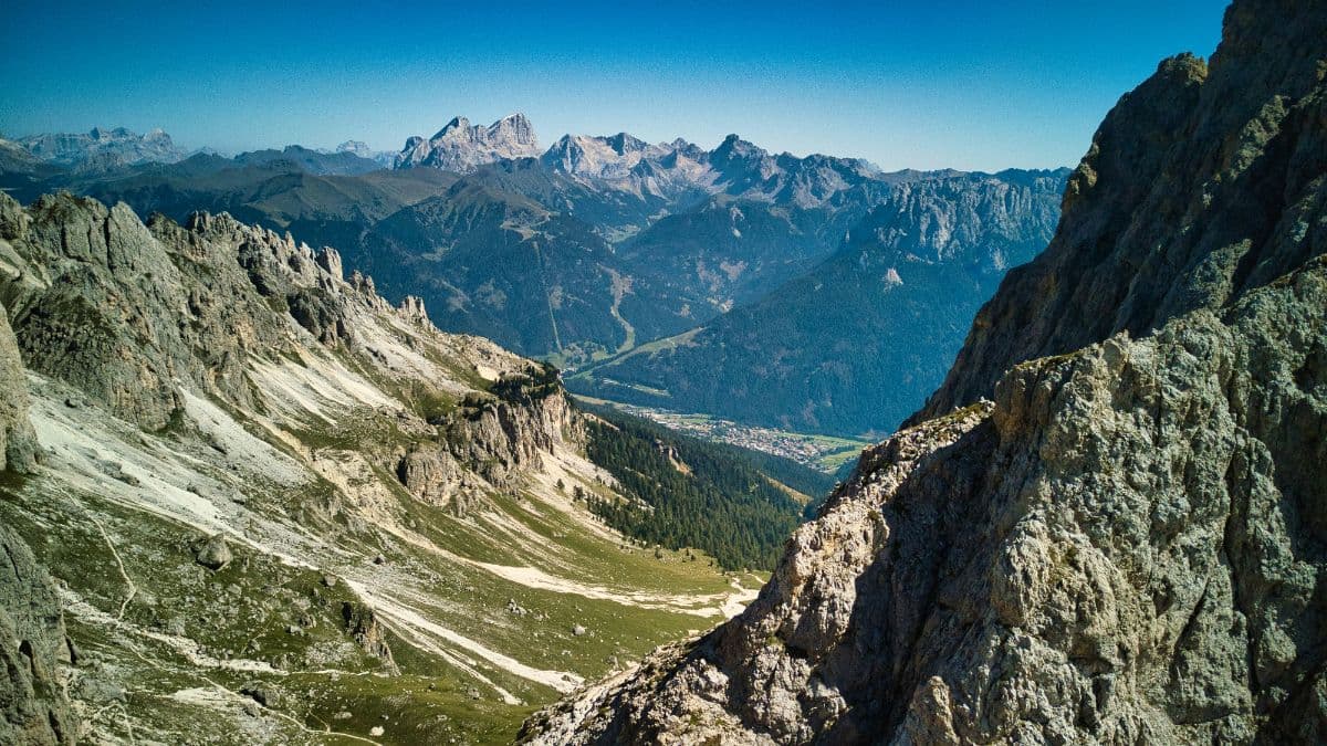 Ortlergebiet · Italy
Ortler Höhenweg
Seven high-alpine stages around South Tyrol's highest mountain, from the Stilfserjoch through the glacier country of the Cevedale group to the lakes of Cancano.