
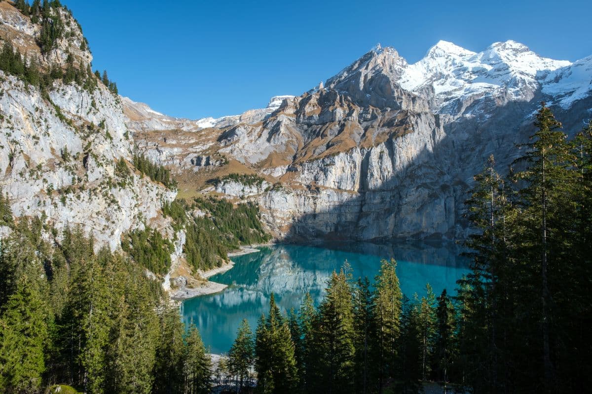
 Berner Oberland · Switzerland
Bärentrek
Six passes, four valleys, one glacier hut

About Bärentrek
The Bärentrek is a six-day trail across the Bernese Alps, from Meiringen via Grindelwald, Lauterbrunnen, Griesalp and Kandersteg to Lenk, totalling 97 kilometres with nearly 7,900 metres of climbing. The route is the opening section of the Via Alpina, Switzerland's national hiking route 1, marked green here and continuing towards Gstaad and Montreux after Lenk. The name refers to the time when bears lived in the Bernese Alps; the last one was shot there at the beginning of the 20th century.
The trail crosses the passes between the big valleys, each time with the heavy mountain scenery of the Bernese Oberland in the background. Over the Grosse Scheidegg the route walks below the ice walls of the Wetterhorn from Grindelwald into the Lauterbrunnen valley, with the Eiger north wall above the path. The Sefinenfurgge links the Lauterbrunnen valley with the car-free Kiental, with a descent along fixed cables and wooden ladders in the slate. The climb to the Hohtürli, at 2,778 metres the highest pass of the route, gains around 1,400 metres from the Griesalp and runs past the Blüemlisalp glacier to the Oeschinensee above Kandersteg. Then follow the Hahnenmoospass between Kandersteg and Adelboden and the final stage to Lenk.
Every stage ends in a village: Meiringen, Grindelwald, Lauterbrunnen, Griesalp, Kandersteg, Adelboden and Lenk all have hotels, guesthouses and campsites, with the exception of the mountain passes themselves, where the day can only be broken with huts such as the Blüemlisalphütte. The Lauterbrunnen valley and the Kiental are on the UNESCO World Heritage list as part of the Jungfrau-Aletsch area.
Practical. Season: late June to late September; snow can lie on the Sefinenfurgge into July, and the regional bus to the Griesalp runs only in summer. Every day ends in a village with accommodation; the Rotstockhütte, the Blüemlisalphütte and the Griesalp hotels need booking well ahead for August, and a night at the Blüemlisalphütte splits the king's stage over the Hohtürli in two. Shortening is possible almost everywhere: regional buses run over the Grosse Scheidegg road, a cable car links Lauterbrunnen and Mürren, the Oeschinensee and Sunnbüel have gondolas, and a chairlift crosses the Hahnenmoospass between Adelboden and Lenk. The route is waymarked throughout with the green marking of the Via Alpina; the Bärentrek itself ends in Lenk.
Stages Bärentrek
The Bärentrek is split here into 6 stages of 13 to 21 km, 97 km in total, from Meiringen to Lenk. The stages below are a sample itinerary: in the planner you put together your own days and choose where you sleep.
Meiringen - Grindelwald
The week opens with its most literary climb. Past the Reichenbach Falls, where Sherlock Holmes fell, and the gorge of the Rosenlaui, the route follows the car-free road to the Grosse Scheidegg. From the pass the icefalls of the Wetterhorn hang directly overhead; the descent to Grindelwald runs under them all the way down.
Grindelwald - Lauterbrunnen
A full morning under the most photographed wall in the Alps. The trail climbs through Grindelwald Grund and past the Alpiglen inn straight beneath the Eiger north face to the Kleine Scheidegg, with Mönch and Jungfrau beside it. Then over the Wengernalp, past Wengen and down into the valley of the seventy-two waterfalls.
Lauterbrunnen - Griesalp
The hardest climb of the week: 800 metres up the valley wall to Mürren, on over the Rotstockhütte and across the Sefinenfurgge, 2,612 metres, down ladders and fixed ropes through black slate. The Kiental below feels like another country; the Sprutz waterfall lets you walk behind the water.
Griesalp - Kandersteg
The queen stage. Over the Bundalp and up the old mule track to the Hohtürli, 2,778 metres, the highest pass of the whole Via Alpina, with wooden steps bolted into the rock and the Blüemlisalphütte at the glacier's edge. The descent passes the Oberbärgli and drops to the deep blue Oeschinensee before Kandersteg.
Kandersteg - Adelboden
A quieter day into the Üschen valley, then the steep stepped path up to the Bunderchrinde, 2,382 metres, a sharp notch between the Gross and Chlyne Lohner with a view back to yesterday's Hohtürli. The descent through the Bunderalp pastures brings the first sight of the Engstligental and Adelboden.
Adelboden - Lenk
The mildest day, saved for last. Over the Geilsbüel and the Hahnenmoospass, 1,957 metres, under the Wildstrubel, then down along the Simme into Lenk. There is time for the Simme Falls on the way in, and from Lenk the trains run home via Zweisimmen and Spiez.
FAQ
Below you'll find answers to some frequently asked questions.
Ready to Explore Bärentrek?
Start planning your adventure today!
Open this trip in the free Vandra mobile app and copy it to your own account, so you can edit it and plan freely, exactly the way you want.
More trips nearby
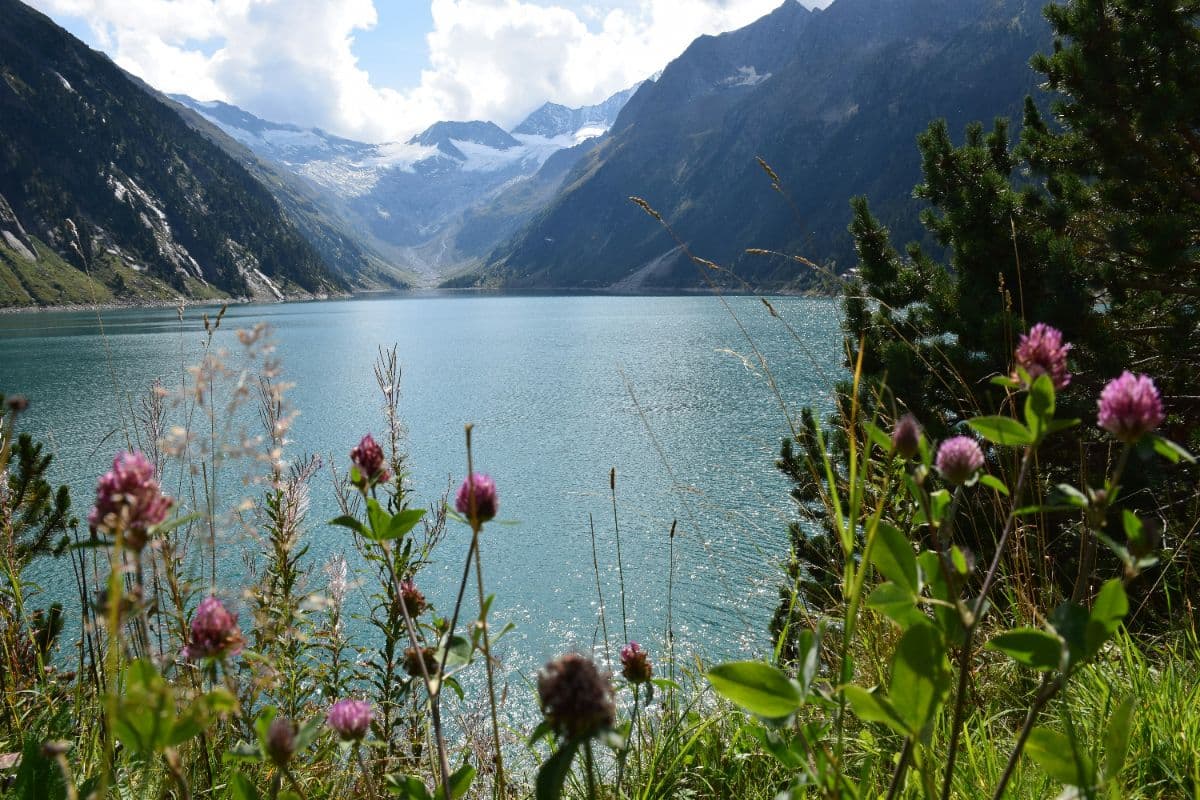
 Zillertaler Alpen · Austria
Berliner Höhenweg
A demanding eight-day hut-to-hut round through the High Alps Nature Park of the Zillertal Alps, over seven ridges and the 3,134 m Schönbichler Horn, through the glacier heart of the range.
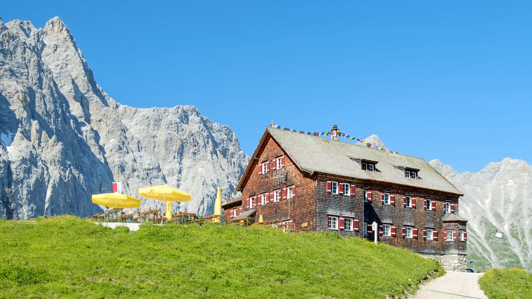 Tyrol · Austria
Karwendeltour
Four days through the Karwendel, the largest nature reserve in the Northern Limestone Alps: from Scharnitz over three huts to the Achensee.
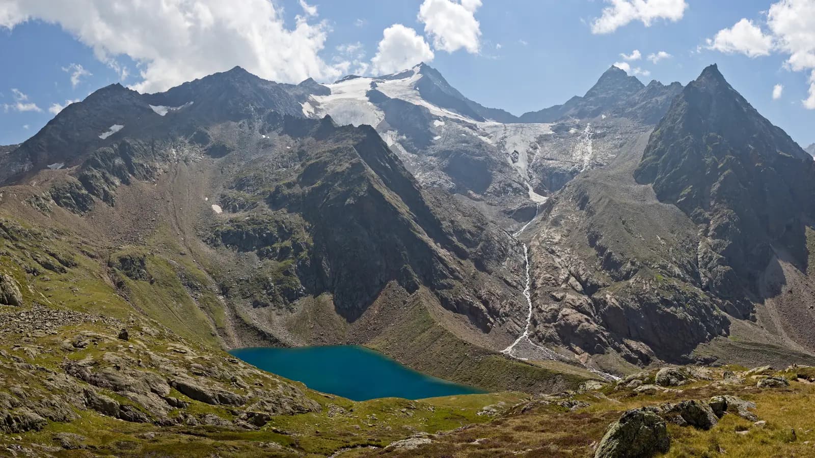 Stubai Alps · Austria
Stubaier Höhenweg
Nine stages on the Stubaier Höhenweg: 85 kilometres past eight huts, between 2,000 and 2,900 metres, glaciers all around.