
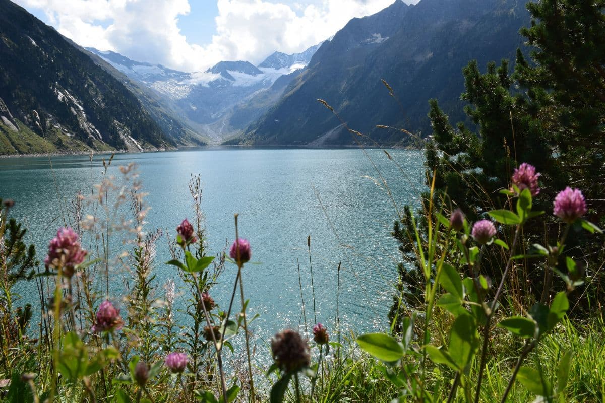
 Zillertaler Alpen · Austria
Berliner Höhenweg
Hut-to-hut round under the Zillertal glaciers

About This Trip
The route. The Berliner Höhenweg, also known as the Zillertaler Runde, is one of the classic treks of the Austrian Alps: roughly 87 kilometres and 6,700 metres of climbing in eight stages, linking eight mountain huts in one wide circle around the glaciated heart of the Zillertal Alps. The route runs from Finkenberg to Mayrhofen and back, passing the Olperer (3,476 m), the Hochfeiler north face and the Schönbichler Horn, at 3,134 m the highest point of the week. No glacier crossings and no roped climbing: difficult passages are secured with cables, but a ladder below the Mörchenscharte and several exposed grass flanks demand sure feet and a good head for heights.
Character. The transitions between huts are mostly black (difficult) mountain paths, the approaches red. The highlight of the week is the crossing from the Furtschaglhaus over the Schönbichler Horn to the fortress-like Berliner Hütte, the oldest hut in the Zillertal and a listed building since 1997. The Siebenschneidensteig between the Kasseler Hütte and the Karl-von-Edel-Hütte crosses seven ridges in a row and takes around nine hours without a single escape route or water source: only for the experienced, and only in dry weather.
Practical. The huts open from mid-June to late September; in July snowfields can still block the passes. Book well ahead for July and August, when beds go fast. Mayrhofen is reached by the Zillertalbahn from Jenbach; bus 4102 serves the side valleys (Schlegeis, Breitlahner, Stilluptal). Because every stage ends at a hut, you can walk the whole round or any part of it; valley descents exist from every hut if weather turns.
Stages
Planning a multi-day hike often takes more time than expected. Which route matches your experience level? Where will you stay overnight? Are the accommodations available? We have done the preparation for you. With carefully curated routes, accommodations and highlights, you can easily plan your next adventure.
Finkenberg - Gamshütte
The warm-up. From Finkenberg the trail climbs steadily through forest to the Gamshütte at 1,921 m, your first night above the valley. The higher you get, the wider the view back over the Ziller valley, and by the hut terrace the peaks of the Tux ridge line up ahead.
Gamshütte - Friesenberghaus
The first big day: across the Tux ridge to the Friesenberghaus at 2,498 m, passing the former Rifflerhütte ruins on the way. A long, demanding climb into high alpine country, rewarded with the first real glacier views from the ridge.
Friesenberghaus - Furtschaglhaus
A panorama day. Along the terrace-like path south past the Olpererhütte, where the Olperer (3,476 m) towers overhead, then down to the Schlegeis reservoir and back up through the Schlegeisgrund to the Furtschaglhaus beneath the Hochfeiler north face.
Furtschaglhaus - Berliner Hütte
The queen's stage. Up the Furtschaglkar to the Schönbichler Horn, 3,134 m, the highest point of the whole round, with the ice of the Waxeggkees below. Then a long descent to the Berliner Hütte, the 1879 fortress of a hut that started it all.
Berliner Hütte - Greizer Hütte
Over the Schwarzensteinmoor to the mirror-still Schwarzsee at 2,470 m, then up to the Mörchenscharte (2,872 m) with its short cable-secured descent and the famous ladder into the Floitengrund. Steep climbing brings you to the Greizer Hütte under the Floiten glacier.
Greizer Hütte - Kasseler Hütte
A long half-circle through the high cirques east of the main ridge: Porta Alpina, a suspension bridge, the secured Elsenklamm gorge and finally the Lapenscharte (2,701 m) with views into the Stilluptal. Down through the Lapenkar to the Kasseler Hütte.
Kasseler Hütte - Karl-von-Edel-Hütte
The Siebenschneidensteig: seven ridges in one go, the hardest test of the week. Nearly nine hours on exposed ledges, over the Aschaffenburger Biwak and past the Nofertensmauer, without escape route or water. A dry day is essential; the reward is a unique high-level traverse.
Karl-von-Edel-Hütte - Mayrhofen
The long glide home. All the way down from 2,238 m into the Ziller valley, past the viewpoints over the Stilluptal, to Mayrhofen. Worth it: the Ahornbahn cable car takes the sting out of the last stretch if knees have had enough.
FAQ
Below you'll find answers to some frequently asked questions.
Ready to Explore Berliner Höhenweg?
Start planning your adventure today!
Open this trip in the free Vandra mobile app and copy it to your own account, so you can edit it and plan freely, exactly the way you want.
More trips nearby
Discover other curated multi-day hikes nearby, handpicked by our community.
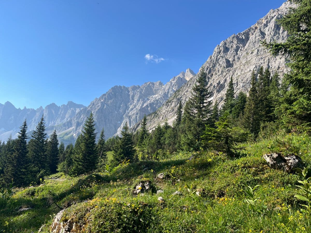
 Tyrol · Austria
Karwendeltour
Four days through the heart of the Karwendel, Austria's largest nature reserve: from Scharnitz to Lake Achensee via the historic Karwendelhaus, the Laliderer Wände and the Eng valley.
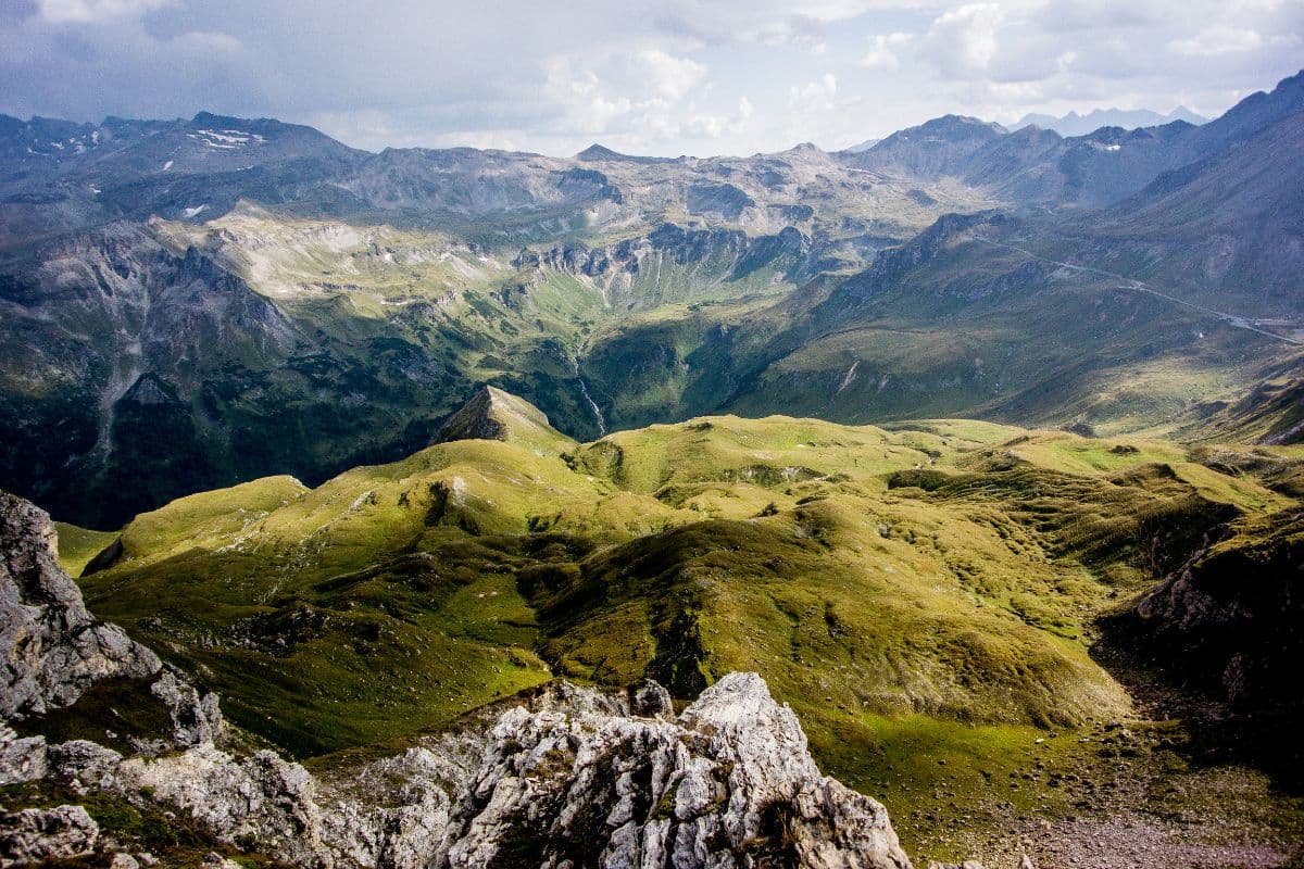 Hohe Tauern · Austria
Wiener Höhenweg
Six hut-to-hut days through the wild heart of Hohe Tauern National Park, from the Iselsberg pass to the Glocknerhaus below the Grossglockner. Turquoise lakes, secured passes, huts at 2,500 metres.
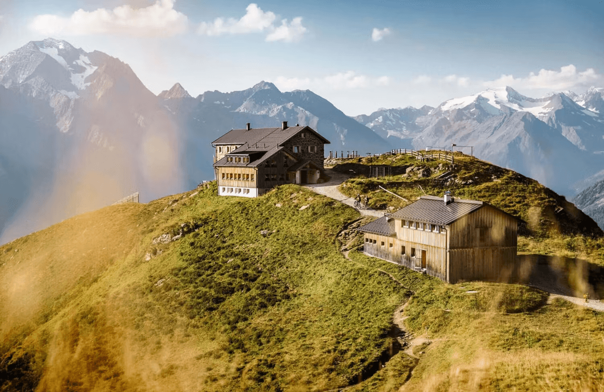 Stubai Alps · Austria
Stubaier Höhenweg
A hut-to-hut tour over the high passes of the Stubai Alps: glacier views, ridgelines above 2,800 metres and eight mountain huts in a week on the Stubai Hohenweg.