


About This Trip
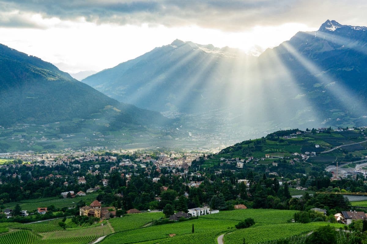
The Meraner Höhenweg is way number 24, a roughly 90-kilometre loop with about 5,100 metres of climbing that circles the Texelgruppe above Meran. Built by AVS mountain guides and opened in 1985, it is one of the classic high routes of the Alps, and its two halves feel like different holidays: the south side runs through orchards, chestnut woods and Waal channels in an almost Mediterranean climate, while the north side climbs into genuinely high alpine country to the Eisjöchl at 2,895 metres.
Most hikers walk clockwise, starting from Giggelberg or Unterstell, so the climb to the Eisjöchl comes from the gentler Pfossental side. Expect steady ups and downs on the southern flank and a real high-alpine crossing on the northern part; several exposed passages are secured with cables and require sure-footedness and a head for heights. The route is well marked as Nr. 24 throughout.
The Stettiner Hütte below the Eisjöchl is day-visitor only since an avalanche destroyed it in 2014, so plan overnight stops around it, and note the current rockfall detour between Katharinaberg and the Pfossental. Accommodation ranges from huts to working farms and guesthouses, and should be booked ahead for July and August. Cable cars from Partschins, Naturns, Algund and Dorf Tirol all connect to the route, which makes shortening or splitting the trip easy. June to late September is the season for the north side; the southern stages are walkable well beyond that.
Stages
Planning a multi-day hike often takes more time than expected. Which route matches your experience level? Where will you stay overnight? Are the accommodations available? We have done the preparation for you. With carefully curated routes, accommodations and highlights, you can easily plan your next adventure.
Giggelberg - Unterstell
From the Berggasthaus Giggelberg the route crosses the dry Vinschgau sun slopes, with views over the Etschtal towards the Ortler. The trail cuts through the gorge of the thousand steps, then stays high above Naturns on old farm paths to the Linthof, finishing at the Gasthaus Unterstell near the cable car station, with the entire Vinschgau spread out below.
Unterstell - Vorderkaser
Through scattered mountain farms the trail enters the Schnalstal, with a grand view of Schloss Juval on the opposite slope. You pass the marked village of Katharinaberg, Bronze Age settlement site, and turn into the Pfossental, a side valley that quickly turns wild. The day ends at the Vorderkaser Alm at the end of the public road, with the 3,000-metre peaks of the valley head already in sight.
Vorderkaser - Eishof
A short but spectacular day into the high mountains. The trail climbs gently through the upper Pfossental, past old alm huts, to the Eishof at 2,076 metres, once the highest year-round farm in old Tyrol. The Hohe Weiße and other 3,000-metre peaks of the Texelgruppe close the valley in like a natural amphitheatre.
Eishof - Zeppichl
The royal stage. A military path climbs steadily to the Eisjöchl at 2,895 metres, the highest point of the route, with the Hohe Wilde and Hohe Weiße towering on either side. The Stettiner Hütte just below the pass serves day visitors only. The long descent leads past the Lazinser Alm down to the Zeppichl farm group above Pfelders.
Zeppichl - Matatz
From Zeppichl the trail drops to Pfelders and follows the valley down through Inner- and Außerhütt. At the Krössbichl bridge the north and south parts of the Höhenweg meet. Through quiet farm country on the sunny side of the Passeier the route reaches the scattered hamlet of Matatz above St. Martin, with views towards the Jaufen pass.
Matatz - Muthöfe
A day of farms and balconies above the Passeier valley. From Matatz the trail drops to the Kalmbach at 820 metres, the lowest point of the route, climbs back to Magdfeld and Vernuer, and then follows the old irrigation path of the Spronser Tal up to the Longfallhof. The day ends at the historic Muthöfe farms high above Dorf Tirol and Merano.
Muthöfe - Hochganghaus
Past the Gasthof Hochmuth the route follows the Hans-Frieden-Weg westwards to the Leiteralm and climbs steadily to the Hochganghaus at 1,839 metres, the highest point of the southern flank. Below, the Meraner Kessel opens up completely: Dorf Tirol, Merano and the entire Etschtal in one sweep.
Hochganghaus - Giggelberg
The last stage runs along the stony Tablander Alm in an easy descent to the Zielbach and the Nassereith-Hütte. Just below stands the Partschinser Wasserfall, at 98 metres the tallest waterfall in South Tyrol. A short climb through shady forest brings you back to the Giggelberg, where the Texelbahn cable car waits for the return to the valley.
FAQ
Below you'll find answers to some frequently asked questions.
Ready to Explore Meraner Höhenweg?
Start planning your adventure today!
Open this trip in the free Vandra mobile app and copy it to your own account, so you can edit it and plan freely, exactly the way you want.
More trips nearby
Discover other curated multi-day hikes nearby, handpicked by our community.
 Berner Oberland · Switzerland
Bärentrek
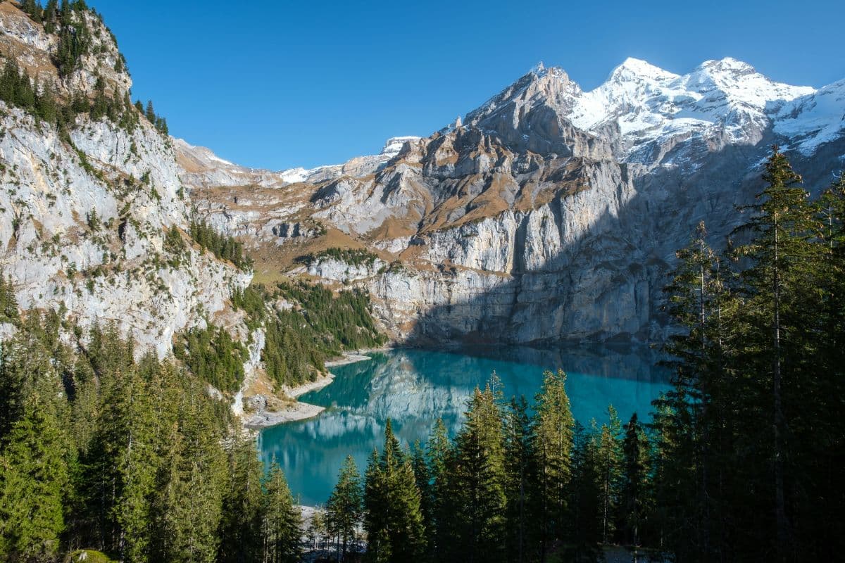
Six days over the passes of the Bernese Oberland, from Meiringen past the Eiger north face and over the Sefinenfurgge and Hohtürli to Lenk: the classic Via Alpina week.
 Hohe Tauern · Austria
Wiener Höhenweg
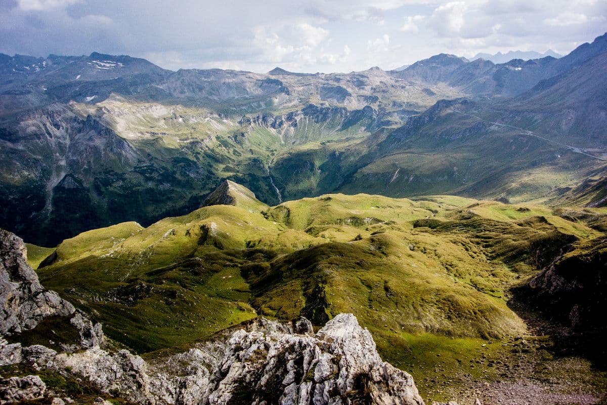
Six hut-to-hut days through the wild heart of Hohe Tauern National Park, from the Iselsberg pass to the Glocknerhaus below the Grossglockner. Turquoise lakes, secured passes, huts at 2,500 metres.
 Stubai Alps · Austria
Stubaier Höhenweg
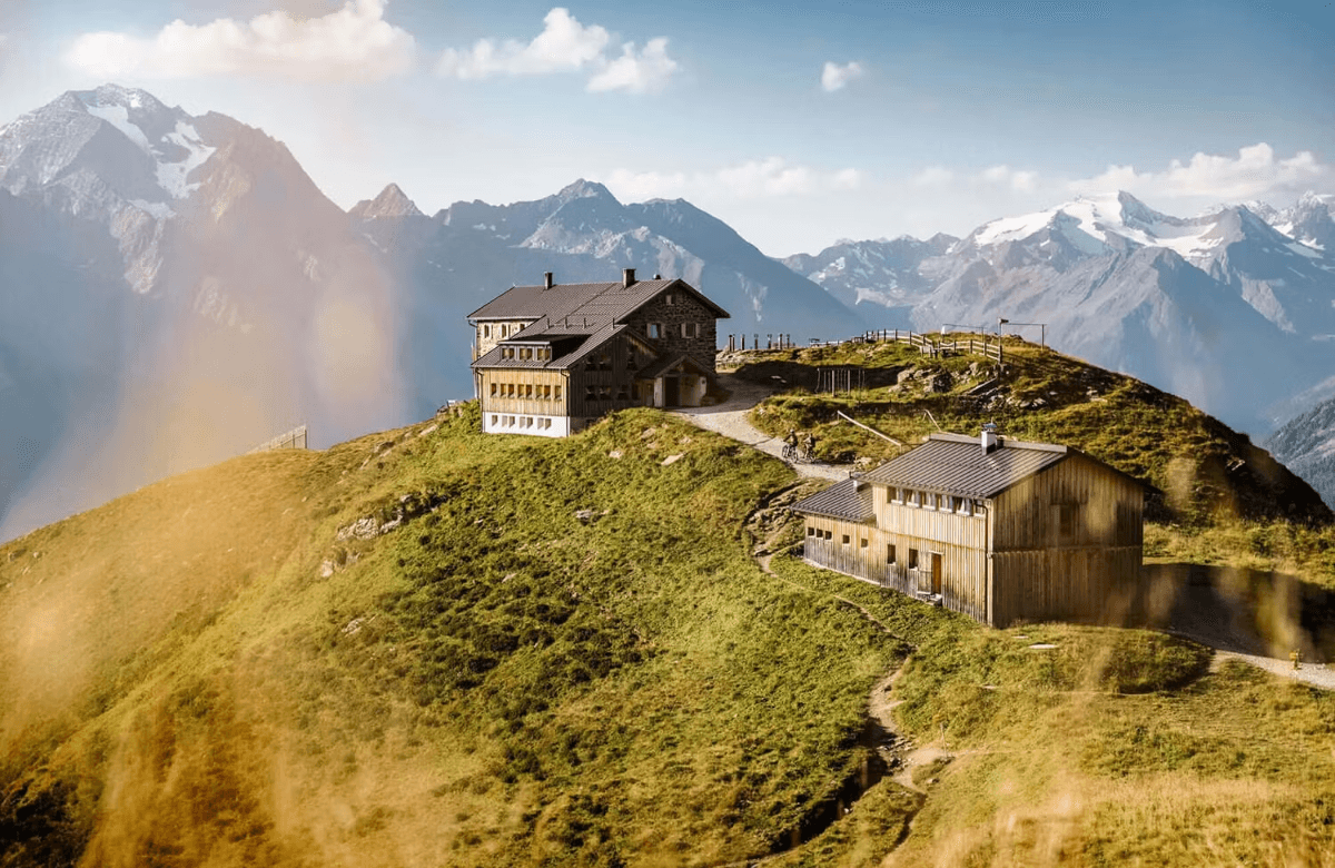
A hut-to-hut tour over the high passes of the Stubai Alps: glacier views, ridgelines above 2,800 metres and eight mountain huts in a week on the Stubai Hohenweg.