Vandra
Italy

Italy

Glacier-carved ridges, turquoise lakes and high routes linking stone huts.

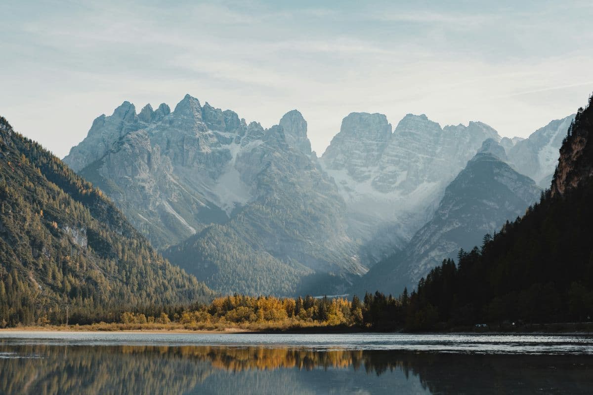
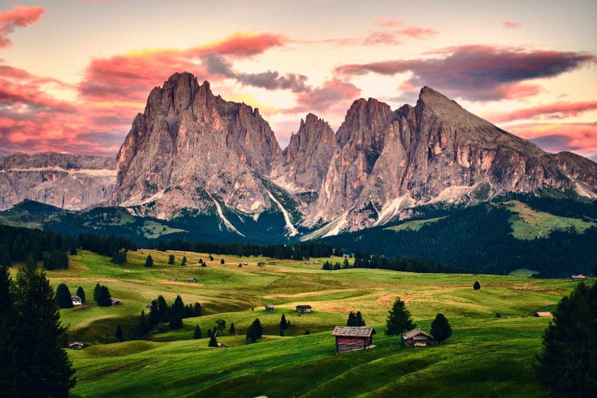
Italy is not a flat country with a coast, but a spine with flanks. The Alps close off the north with glaciers and limestone peaks, and the Dolomites rise out of them like improbable steep rock cities. From there the Apennines run as a ridge from northwest to southeast, almost the whole length of the country, with beech forest, high plateaus and mountain huts that fill up in summer. Between the mountains and the sea lie the hills of Tuscany, Umbria and Piedmont. Elevation, not the beach, decides the direction of a long walk here. In the south of South Tyrol the Meraner Höhenweg follows an old high trail around the regional capital Merano, through meadows, orchards and mountain hamlets. In the west of the same province the Ortler Höhenweg circles the highest range of the region, with glaciers, high-alpine passages and huts above three thousand metres. Both routes walk hut to hut, with the best weather between late June and late September.

Trips in Italy

Alta Via 1
12 days
Hard134 km6993 m
ITDolomites · Italy

Alta Via 1

Twelve days hut to hut through the heart of the Dolomites: from Lago di Braies over the Fanes plateau and the Lagazuoi, past Cinque Torri and Pelmo to the wild finale under the Schiara above Belluno.
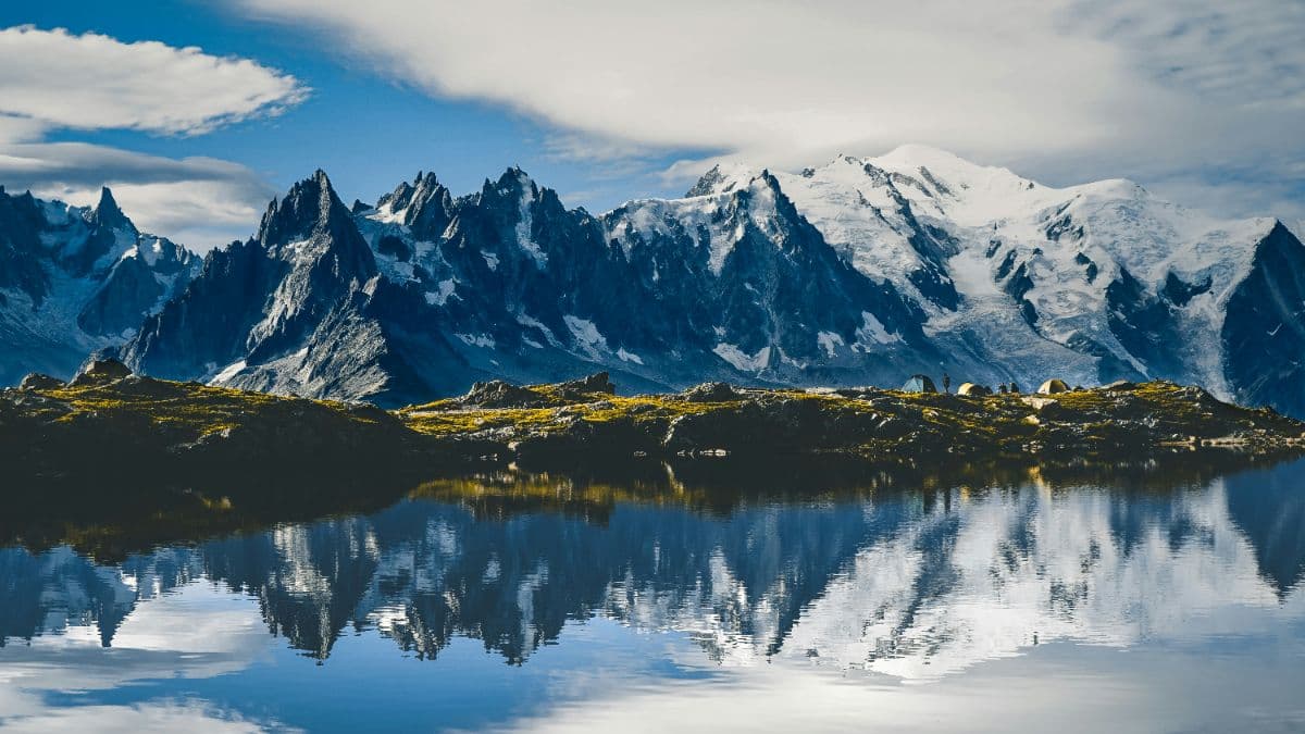
Tour du Mont Blanc
11 days
Hard163 km9798 m
CHFRITMont Blanc massif · Switzerland, France, Italy

Tour du Mont Blanc

The classic walk around Mont Blanc: 164 kilometres, three countries, eleven stages from 10 to 21 kilometres, and every day a balcony view of the highest mountain in the Alps.
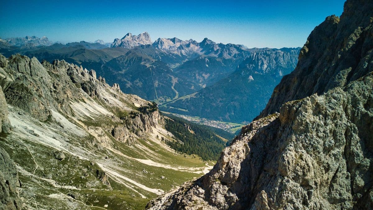
Ortler Höhenweg
7 days
Hard117 km8682 m
ITOrtlergebiet · Italy

Ortler Höhenweg

Seven high-alpine stages around South Tyrol's highest mountain, from the Stilfserjoch through the glacier country of the Cevedale group to the lakes of Cancano.
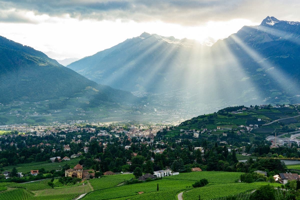
Meraner Höhenweg
8 days
Hard82 km5170 m
ITMeraner Land · Italy

Meraner Höhenweg

Eight days on way 24 around the Texelgruppe: palms and cypress on the south flank, a 2,895-metre pass on the north side. A hut-to-hut loop with views of Meran, the Etschtal and the Ortler.

View all trips

Questions?

Feel free to reach out to us if you have any questions about trips or the use of the Vandra mobile app.

support@vandra.io

About us

Vandra is a concept that makes outdoor trip planning simple. We help you discover routes, plan your adventures, and explore nature with confidence.

By using the Vandra app and making any purchases, you agree to our Terms of Service and Privacy Statement.

Vandra© Vandra. All rights reserved.