
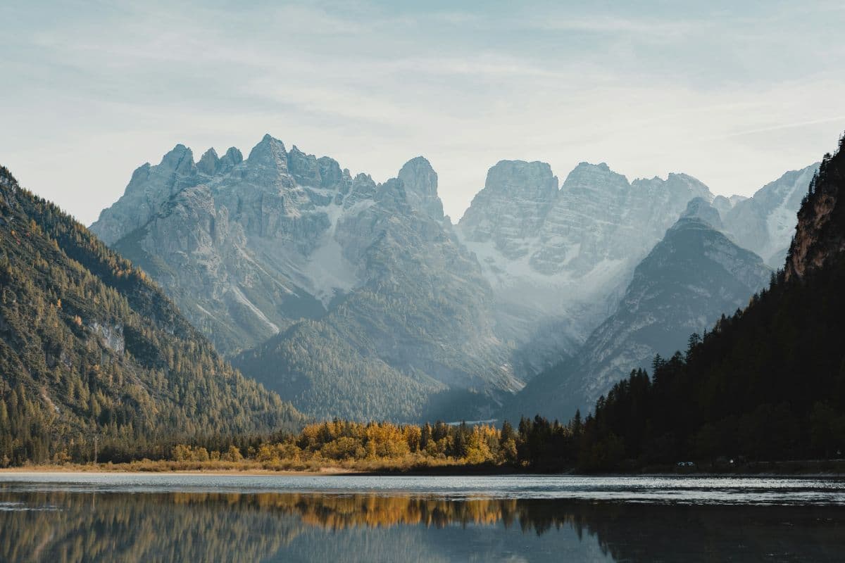


About This Trip
Some trails you walk for the ground under your feet. The Alta Via 1 you walk for the line it draws: twelve days from the mirror of Lago di Braies to the plain of the Veneto, staying high almost the whole way, and every evening a rifugio with dinner, a bunk and a terrace where the whole Dolomites range is doing its slow tectonic thing around you.
The route was designed in 1969 by Piero Rossi, one of the founding fathers of the Dolomiti Bellunesi national park, and it still does what he intended: string together the famous faces of the Dolomites into one continuous high line. You cross the karst sea of the Fanes plateau, homeland of the Ladin Fanes saga, and climb to the Forcella del Lago, where the First World War is literally underfoot: the Austrian and Italian front lines carved galleries and tunnels into the Lagazuoi itself, and the highest hut of the route stands on top of them. Then the Cinque Torri, the Mesolithic hunting grounds of the Mondeval plateau under the pyramid of Pelmo, the green throne valley below the Civetta wall, and at the end the quietest act: the Dolomiti Bellunesi national park, where the trail crosses the empty highland of the Moschesin ruins, the Van de Zità cirques and the tiny Bivacco del Marmol under the walls of the Monte Schiara, the mountain the locals call inaccessible.
Twelve official stages of 6 to 15 kilometres, roughly 125 kilometres and 7,300 metres of ascent in total, with 7,400 metres of descent, the largest single drop saved for the final morning. The standard route needs no via ferrata equipment, but it is never an easy path: the terrain is always alpine, steep, rocky and sometimes exposed, the highest point is the Rifugio Lagazuoi at 2,752 metres, and the marked route carries a white '1' in a blue triangle through its whole length. September is statistically the driest and quietest month, mid June to late September is the season, and the huts book out months ahead.
Practical. There is no central booking system: every rifugio is reserved individually, by phone, email or the hut's own website, and for the crowd stages around the Lagazuoi and the Nuvolau you want to book 6 to 9 months ahead. A CAI membership pays for itself on a route this long. The start at Lago di Braies is reached by bus from Dobbiaco; note that the lake road closes to private cars between 9am and 4pm from July 1 to September 15. The finish in Belluno has trains toward Venice, and the lake's shuttle bus (line 442) from Villabassa solves the morning parking problem.
Stages
Planning a multi-day hike often takes more time than expected. Which route matches your experience level? Where will you stay overnight? Are the accommodations available? We have done the preparation for you. With carefully curated routes, accommodations and highlights, you can easily plan your next adventure.
Lago di Braies - Rifugio Biella
The climb day, and the one that sets the bar: from Lago di Braies you rise in under three hours past steep scree and limestone walls to the shelves below the Croda del Becco, leaving the lake's famous tourist crowds far behind. From Rifugio Biella, perched on a rock ledge at 2,327 metres, you look down on almost the entire rest of the route, because from here the Alta Via stays high.
Rifugio Biella - Rifugio Fanes
The gentle day, and the karst day. Across the vast limestone plateau of Fanes-Senes-Braies you walk between sinks, ponors and channels where streams vanish underground, in the legendary homeland of the Ladin Fanes saga. It is a route that looks easy on the map and feels anything but small: the horizon up here is the roof of the whole Dolomites line. The day ends at Rifugio Fanes, the crossroads hut of the plateau.
Rifugio Fanes - Rifugio Lagazuoi
The highest-point day. Up over slabs and snowy shoulders of the Fanis group to the Forcella del Lago, the most sustained climb of the entire route, then the crowning terrace: Rifugio Lagazuoi at 2,752 metres, the roof of the Alta Via, where on a clear evening almost the whole Dolomites line lies below you. Under your feet lie the First World War tunnels where the Austrian and Italian fronts fought this mountain.
Rifugio Lagazuoi - Rifugio Nuvolau
The marble high day, with the two most famous huts on the trail. Down to Passo Falzarego, past the Lagazuoi tunnels, across the shoulder of the Tofana and past the Cinque Torri to Rifugio Nuvolau, built in 1883 and one of the oldest huts in the Dolomites, crowning its own summit with a 360-degree panorama. In the evening the view belongs to you alone: the day visitors leave with the cable car.
Rifugio Nuvolau - Rifugio Città di Fiume
Down from the Nuvolau crown to the Passo Giau, then into the quiet: over the wide Mondeval pastures where Mesolithic hunters once stalked ibex and deer, with the great pyramid of Pelmo ahead. The day ends at Rifugio Città di Fiume at the foot of Pelmo, a hut you hear before you see it, cattle bells in the meadows and a landlord known on the whole route for hospitality.
Rifugio Città di Fiume - Palafavera
The Pelmo day: around the huge mountain locals call the throne of God, along its steep flanks to the green pastures under the Croda da Lago, and finally the slow entry into Civetta country. The wall of walls is the first thing you see and the last thing you lose. The night stop is Palafavera, a sleepy hamlet under the Civetta massif.
Palafavera - Rifugio Vazzoler
The Civetta day, and the biggest climb of the first half. Up through the larch slopes past Rifugio Coldai, whose emerald lake hangs under the sheer wall of the Civetta, and over to the quiet Val Corpassa where Rifugio Vazzoler, a classic CAI hut, sits deep in the forest. After the open high ground the silence of the trees is its own reward.
Rifugio Vazzoler - Rifugio Carestiato
The breathing day. Through soft woods and along old military roads from the war years the route walks to Rifugio Carestiato under the Moiazza group, one of the last quiet corners of the Alta Via. At nearby Passo Duran there is coffee on a terrace again, and the good mood of day hikers fresh off the local ferrata routes.
Rifugio Carestiato - Rifugio Sommariva al Pramperet
The transition day into the Dolomiti Bellunesi national park, the wild half that makes the final stages of the Alta Via so quiet. Over gentle highland past the castle ruins of Moschesin, a First World War fortification, the route climbs to Rifugio Sommariva al Pramperet at 1,857 metres. From here the crowds are gone: the northern Dolomites with their huts full of day visitors are a week behind you.
Rifugio Sommariva al Pramperet - Rifugio Pian de Fontana
The Van de Zità day, technically the strongest of the whole route. Through the spectacular glacial cirques of the Van de Zità you climb the Portela del Piazedel to the Van de Zità Sud shoulder at 2,395 metres, the highest point reachable on foot in the national park. The reward is the small Rifugio Pian de Fontana in immense silence: on this half of the trail the through-traffic of the first week has long disappeared.
Rifugio Pian de Fontana - Bivacco del Marmol
The shortest stage and the boldest. Up rock ledges and past a frozen gully to the Forcella Marmol at 2,262 metres, then the bivouac: the Bivacco del Marmol hangs like a nest under the walls of the Monte Schiara at 2,266 metres, the smallest overnight stop on the entire route. This is the day you need good weather, a clear evening and a steady stomach for, because from here there is no easy way down.
Bivacco del Marmol - Belluno
The finale is a descent you will not forget: on the secured route of the via ferrata Piero Rossi the path lowers you nearly 1,500 metres from the bivouac to Rifugio Settimo Alpini and then down the Ardo valley toward Belluno. The vertical limestone walls of the Schiara tower above you like a fortress wall, and the paved road at the bottom feels absurdly ordinary. In Belluno, eleven days later, the first city waits: espresso, a train, and the plain of the Veneto.
FAQ
Below you'll find answers to some frequently asked questions.
Ready to Explore Alta Via 1?
Start planning your adventure today!
Open this trip in the free Vandra mobile app and copy it to your own account, so you can edit it and plan freely, exactly the way you want.
More trips nearby
Discover other curated multi-day hikes nearby, handpicked by our community.
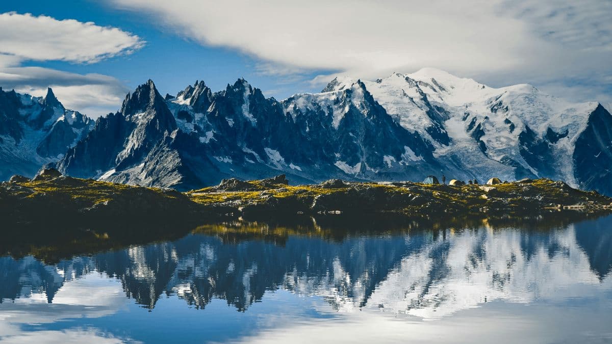


 Mont Blanc massif · Switzerland, France, Italy
Tour du Mont Blanc
The classic walk around Mont Blanc: 164 kilometres, three countries, eleven stages from 10 to 21 kilometres, and every day a balcony view of the highest mountain in the Alps.
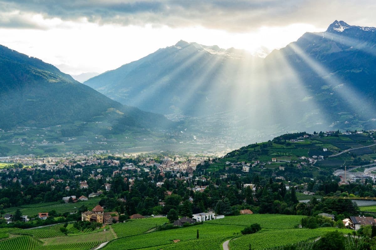 Meraner Land · Italy
Meraner Höhenweg
Eight days on way 24 around the Texelgruppe: palms and cypress on the south flank, a 2,895-metre pass on the north side. A hut-to-hut loop with views of Meran, the Etschtal and the Ortler.
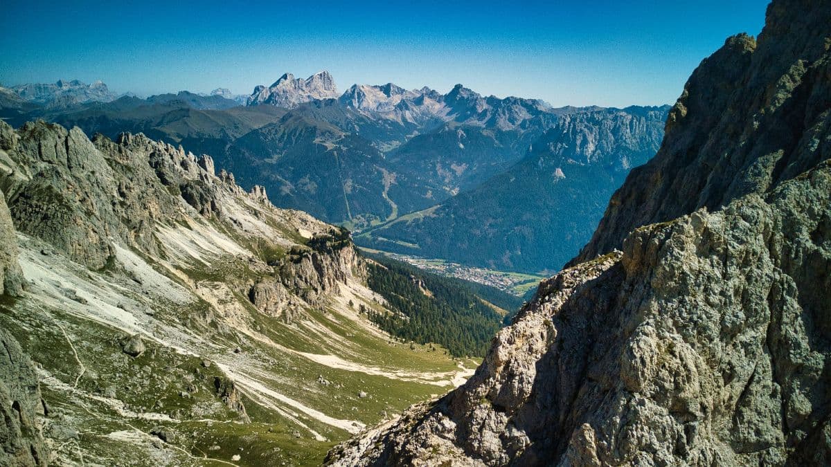 Ortlergebiet · Italy
Ortler Höhenweg
Seven high-alpine stages around South Tyrol's highest mountain, from the Stilfserjoch through the glacier country of the Cevedale group to the lakes of Cancano.