
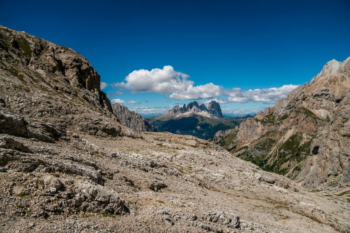
 Lagorai · Italy
Alta Via del Granito
Granite, trenches and three mountain huts

About Alta Via del Granito
The Alta Via del Granito is a three-day loop of 29 kilometres around the granite core of Cima d'Asta and the Cime di Rava in the southern Lagorai, the granite range south-east of the Dolomites in Trentino. The route starts and ends at Malga Sorgazza (1,450 metres), climbs to the high ground around the Rifugio Ottone Brentari and the Rifugio Malga Caldenave, the two mountain huts of the loop, and totals just over 3,000 metres of climbing, with stages of 10, 13 and 10 kilometres.
The terrain is granite: smooth slabs that work as steps, towers above mountain lakes, and almost no vegetation above 2,000 metres. The Cima d'Asta (2,847 metres), the highest summit of the entire Lagorai, sits directly above the Brentari hut and can be climbed from it in about ninety minutes, with views from the Dolomites to the Austrian Alps.
In the First World War the front line ran along these ridges. At Passo Socede trenches still curl over the crest, at Forcella Magna a built artillery road once hauled heavy guns up to 2,100 metres, and casemates and barracks in the walls sheltered soldiers through two winters. Alongside the war, farming shapes the area: malghe, mountain farms where cheese and butter are made every summer, one of which, Malga Sorgazza, sits at the start of the route. The trails are waymarked with SAT numbers.
Practical. Three stages of 10, 13 and 10 kilometres with just over 3,000 metres of ascent and descent in total; with the Cima d'Asta climb (1 hour 15 minutes from the hut) the hardest day comes first. This is walking at the upper edge: much of it above 2,000 m, no food between the huts and a chance of lying snow into June. Season: mid-June to late September. Book the huts ahead in July and August, and the loop can be walked in either direction when one of the huts is full. Malga Sorgazza is reached by road via Pieve Tesino in the Valsugana.
Stages Alta Via del Granito
The Alta Via del Granito is split here into 3 stages of 8 to 12 km, 29 km in total, a loop hike from and to Malga Sorgazza. The stages below are a sample itinerary: in the planner you put together your own days and choose where you sleep.
Malga Sorgazza - Rifugio Cima d'Asta Ottone Brentari
The hardest day comes first. From the farm at Malga Sorgazza the trail climbs steadily through forest and up granite steps to the deep blue Lago di Cima d'Asta, sitting in a bowl of polished rock. After lunch at the hut, the short but steep push to the summit itself pays off: at 2,847 m you look from the Dolomites in the south to the Austrian Alps in the north, a 360-degree panorama with the whole Lagorai chain spread out below. The day then settles gently back to the refuge by the lake, where evening light turns the granite towers orange.
Rifugio Cima d'Asta Ottone Brentari - Rifugio Malga Caldenave
The long high day, with the front of the Great War as your guide. Over Passo Socede and its trench remains you descend into the wild Vallone Occidentale, then climb again to Forcella Magna, where the Italians once built an artillery road to haul heavy guns up to 2,100 m. Along the high traverse beneath Cima Lasteati and Monte Cengello you reach Forcella delle Buse Todesche, and past the dark lakes of the Inferno valley the path drops into the wide glacier basin of Caldenave, where the inn waits with the kitchen the whole region talks about.
Rifugio Malga Caldenave - Malga Sorgazza
The last day is a gift: first up through forest to Forcella Ravetta, then a broad panoramic traverse across the head of the Rava valley. A short detour tempts you to Cimon di Rava, a granite pyramid looking out over the rugged Cresta del Frate. From there you descend via Forcella Quarazza, past the turquoise water of Lago di Costa Brunella, and through forest back down to Malga Sorgazza. If the legs still have something left, a cold drink and the satisfaction of a complete loop through the wildest granite corner of the Lagorai are waiting there.
FAQ
Below you'll find answers to some frequently asked questions.
Ready to Explore Alta Via del Granito?
Start planning your adventure today!
Open this trip in the free Vandra mobile app and copy it to your own account, so you can edit it and plan freely, exactly the way you want.
More trips nearby
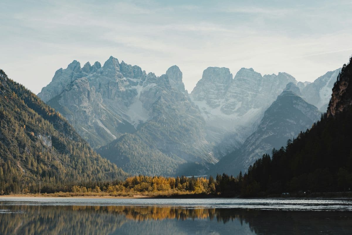
 Dolomites · Italy
Alta Via 1
Twelve days hut to hut through the heart of the Dolomites: from Lago di Braies over the Fanes plateau and the Lagazuoi, past Cinque Torri and Pelmo to the wild finale under the Schiara above Belluno.
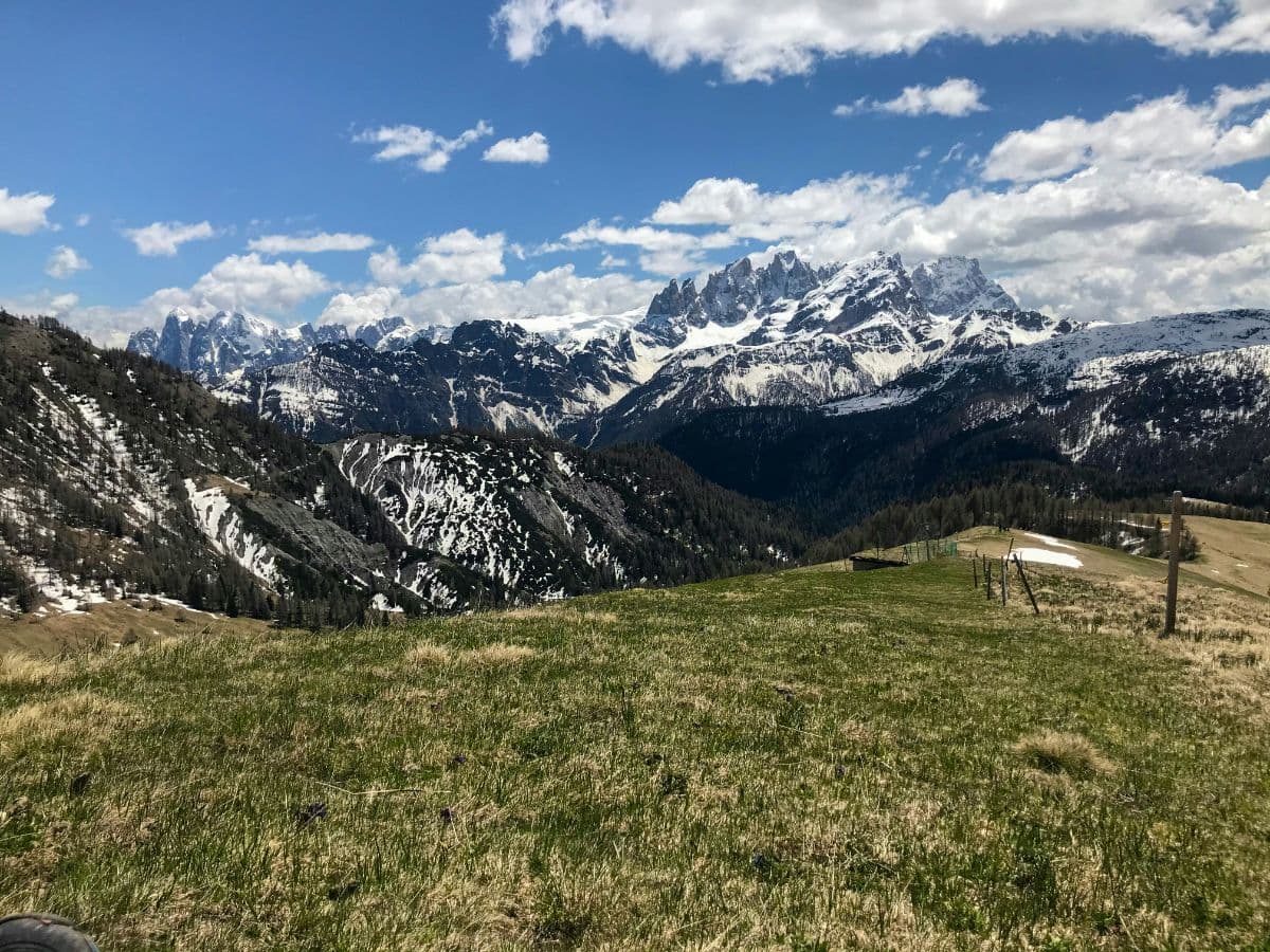 Pale di San Martino · Italy
Palaronda Trek
Four days of hut-to-hut walking across the Pale di San Martino plateau: the largest rock desert of the Dolomites, from San Martino di Castrozza and back.
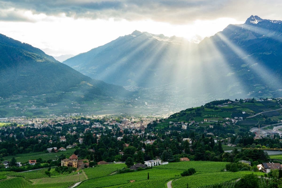 Meraner Land · Italy
Meraner Höhenweg
Eight days on way 24 around the Texelgruppe: palms and cypress on the south flank, a 2,895-metre pass on the north side. A hut-to-hut loop with views of Meran, the Etschtal and the Ortler.