
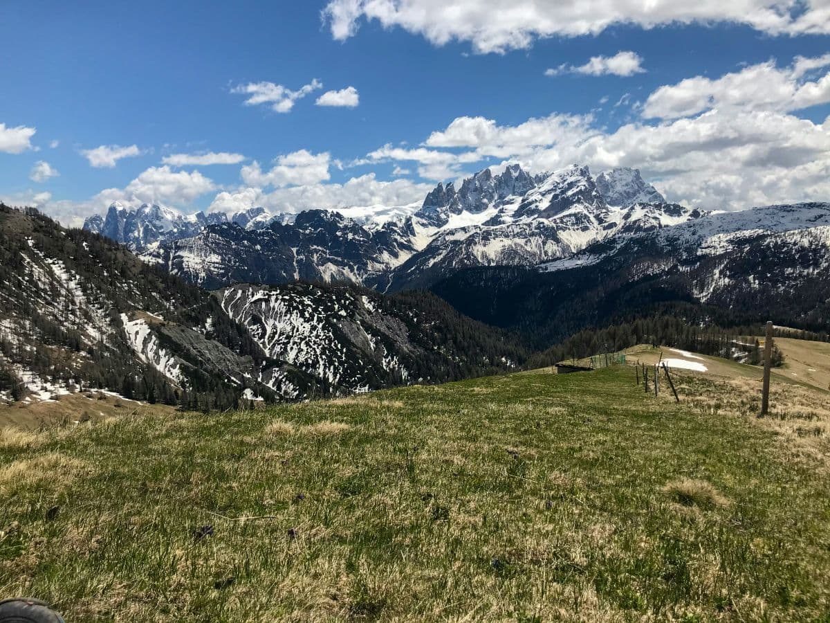
 Pale di San Martino · Italy
Palaronda Trek
Four days across the Pale stone desert

About Palaronda Trek
The Palaronda Trek is a four-day hut-to-hut trail through the Pale di San Martino, the largest stone plateau of the Dolomites: fifty square kilometres of bare dolomite around 2,500 metres, between the Val Venegia and the Val Canali. The route is 35.7 kilometres long with 3,160 metres of climbing, has four stages of 6 to 10 kilometres, uses three mountain huts and includes no equipped sections. The Pale form one of the nine systems for which the Dolomites were inscribed on the UNESCO World Heritage List in 2009.
The plateau is a fossilised coral reef about 250 million years old, carved by wind and water into towers such as the Sass Maor and the Cima Canali. The route climbs from San Martino di Castrozza, where one of the Alps' first alpine schools opened in 1870, via the Colverde cable car to the Rosetta hut on the plateau rim. The second stage crosses the plateau itself past the Fradusta glacier, the remnant of the ice cap that once covered the plateau, with the optional Cima Fradusta at 2,939 metres. The third stage descends through the Val Pradidali beneath the walls of the Sass Maor to the forests of Val Canali, and the fourth climbs back over the Passo Canali, with a view all round, before the circuit closes via the Rosetta.
Practical. Four stages of 6 to 10 kilometres, marked paths throughout, no equipped sections. You sleep in mountain huts: Rosetta (2,581 m, 80 beds), Pradidali (2,278 m, 64 beds) and Treviso-Canali (1,634 m, 64 beds), all with half board. The season is short, roughly late June to late September, and the huts are small: book a few months ahead. Day one and day four use the Colverde-Rosetta cable car above San Martino di Castrozza. Water is scarce at altitude; the huts ask you to use it sparingly.
Stages Palaronda Trek
The Palaronda Trek is split here into 4 stages of 6 to 10 km, 33 km in total, from San Martino di Castrozza to Rifugio Rosetta. The stages below are a sample itinerary: in the planner you put together your own days and choose where you sleep.
San Martino di Castrozza - Rifugio Rosetta
The day starts in the village where one of the first alpine schools of the Alps once opened its doors, and it does not stay gentle for long: path 701 climbs through pine forest to Colverde, and from there the walls of the Pala group close in. You reach the plateau in the open, rock on three sides, before the hut appears on its western edge. With energy to spare, the twenty-minute detour to Cima Rosetta is worth every step: from the cross on its summit the whole valley you just left lies below, and the high plateau stretches eastward, a stone landscape that at first glance seems impossible. Overnight at Rifugio Rosetta, where dinner is served while the evening light turns the towers pink.
Rifugio Rosetta - Rifugio Pradidali
The plateau day, with the strangest landscape of the trek. From the hut the path runs east over stone: fifty square kilometres of bare dolomite, waves of rock frozen solid, where nothing grows and the wind does as it pleases. Halfway you reach the Fradusta glacier, the dying remnant of an ice sheet that once covered the plateau, and whoever wants more can climb Cima Fradusta, just under three thousand metres, with a view across the entire Pale. The descent into the upper Val Pradidali is the switch to the other face of the mountains: suddenly grass, streams and pines again, and the hut sits against the towers at the head of the valley.
Rifugio Pradidali - Rifugio Treviso
The descent day, with the biggest drop of the trek and the best theatre. The path leaves the hut over rock steps, then follows a panoramic ledge along pale stone faces where waterfalls appear after rain and the towers of Sass Maor and Cima Canali stand at eye level for a while. Little by little the valley opens: the woods of Val Canali take over, streams cross the path, and the air starts to smell of grass instead of stone. The Rifugio Treviso lies at the end on a green shelf, run by the same family for twenty years, and its terrace looks straight up at the wall of Cima Canali.
Rifugio Treviso - Rifugio Rosetta
The closing day asks for one long climb, and pays it back twice. Through the wide Coro valley the path rises for hours on end, steadily, with the walls of the southern Pale sliding past, until the Passo Canali opens at the eastern edge of the plateau. From the pass the view runs all the way around: the whole circuit you walked, the deep valleys of Primiero below and, on clear days, the chain of the Marmolada in the distance. From here it is an easy walk across the plateau back to Rifugio Rosetta, and the cable car carries you down to San Martino, through the pine forest where it all began.
FAQ
Below you'll find answers to some frequently asked questions.
Ready to Explore Palaronda Trek?
Start planning your adventure today!
Open this trip in the free Vandra mobile app and copy it to your own account, so you can edit it and plan freely, exactly the way you want.
More trips nearby
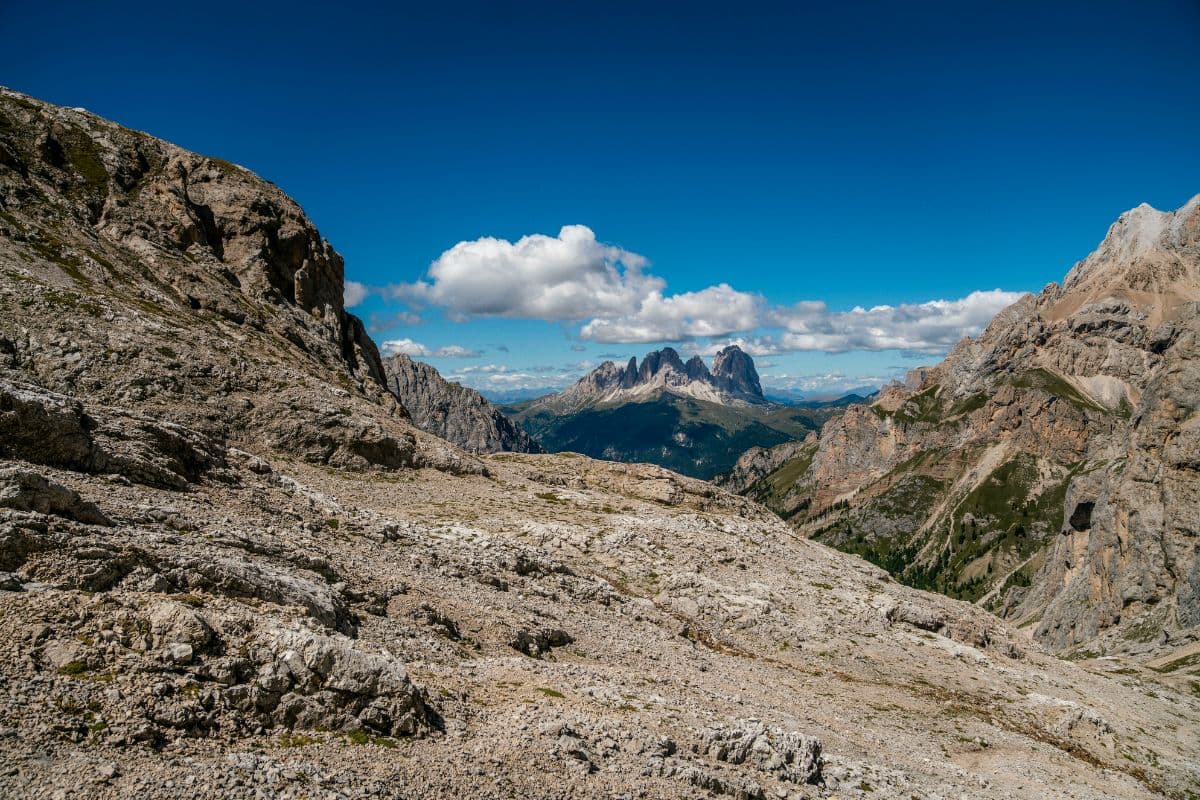
 Lagorai · Italy
Alta Via del Granito
Three-day loop through the granite world of Cima d'Asta and the Cime di Rava in the Lagorai.
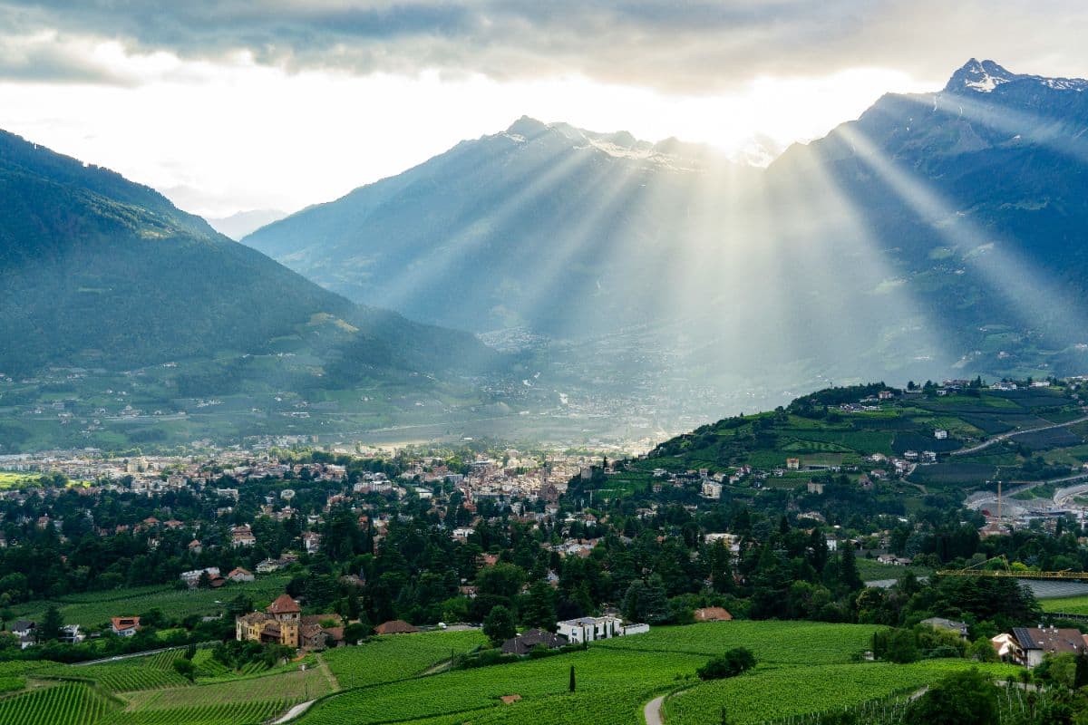 Meraner Land · Italy
Meraner Höhenweg
Eight days on way 24 around the Texelgruppe: palms and cypress on the south flank, a 2,895-metre pass on the north side. A hut-to-hut loop with views of Meran, the Etschtal and the Ortler.
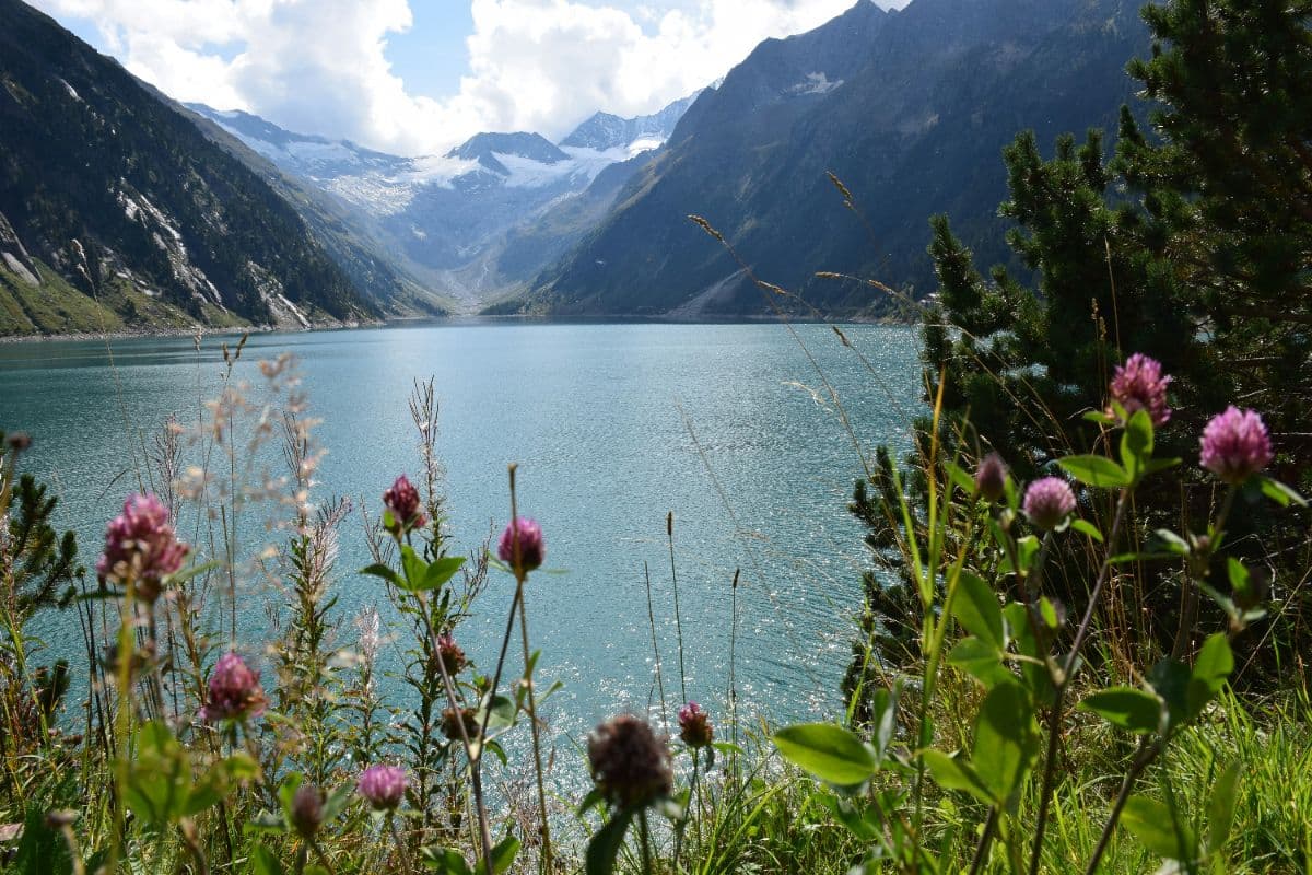
 Zillertaler Alpen · Austria
Berliner Höhenweg
A demanding eight-day hut-to-hut round through the High Alps Nature Park of the Zillertal Alps, over seven ridges and the 3,134 m Schönbichler Horn, through the glacier heart of the range.