


About This Trip
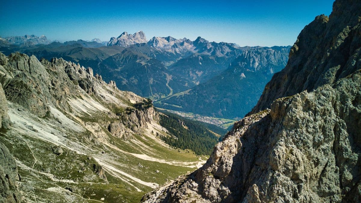
Some mountains you look at. The Ortler, at 3,905 metres the roof of South Tyrol, is one you walk around, on a high route that keeps its distance from the crowds below and its eyes on the summit walls above. The Ortler Höhenweg is roughly 120 kilometres in seven Etappen (stages), a full circumnavigation of the king of the Ortler Alps through three linguistic worlds: German South Tyrol, the Italian Valtellina and the Romansh-flavoured valleys in between.
The route never lets you forget where you are. Stage two climbs 1,800 metres out of Stilfs to the Düsseldorfer Hütte at 2,721 metres, where the Zaytal spreads out below like a green carpet under walls of rock. Stage three crosses the Madritschjoch into the Martell valley, ibex country. Stage four is the serious one: over the Eisseepass and the Langenfernerjoch at 3,258 metres, the highest point of the entire trail, straight across the Langenferner glacier - crampons, early start, and a mountain guide recommended if you have never walked on ice. And then the reward: stage five descends more than 2,300 metres through the Zebrù valley to Sant'Antonio, past huts where the Italian alpine army once bivouacked, with ibex silhouettes on the ridgelines almost every morning.
This was a front line in the First World War, and the mountain still carries the scars: the gun positions around the Goldsee on stage one, the Lempruchlager ruins, the trenches by the Dreisprachenspitze where Italian and Austrian lines faced each other across a ridge you now walk for the view. The Stelvio National Park wraps the whole route; marmots whistle from the boulder fields and the air smells of alpine rose and stone pine.
Practical. This is a route for experienced mountain hikers: sure-footedness, stamina and good equipment are essential, and the glacier section on stage four is no place for a first attempt. Season runs late June to September, when the huts are staffed and the passes are snow-free. All seven stage ends have staffed accommodation - five huts, two valley villages - but beds are limited and August fills early, so reserve ahead. The loop starts and finishes on the Stilfserjoch pass, reached by bus from Prad am Stilfserjoch in the Vinschgau. Bring cash for the huts and a water filter attitude for the long, dry stretches.
Stages
Planning a multi-day hike often takes more time than expected. Which route matches your experience level? Where will you stay overnight? Are the accommodations available? We have done the preparation for you. With carefully curated routes, accommodations and highlights, you can easily plan your next adventure.
Stilfser Joch - Stilfs
The descent day, and the one that hands you the trail's history in the first hours. Down from the pass on the old Goldseeweg, past the gun positions above the Goldsee where Austrian artillery held the ridge a century ago, and over the Dreisprachenspitze where three languages meet on one summit. The Furkelhütte makes a first coffee stop with the Ortler's north face filling the horizon. Then the long drop through the Valatsch farms to Stilfs, where the day ends in the valley with a cold glass of Vinschgau wine.
Stilfs - Düsseldorfer Hütte
The climb day, and the biggest vertical of the trail: 1,800 metres up from the valley floor to the Düsseldorfer Hütte at 2,721 metres. The path leaves the vineyards of Stilfs through the Prader Schanze, follows the stream past the Kesselkogel walls and climbs in long switchbacks through the Zaytal. The hut appears at the head of the valley like a red point under the black rock, and the evening light on the König Ortler from the terrace is the kind of sight that makes the legs forget the morning.
Düsseldorfer Hütte - Zufallhütte
The ridge day, and ibex country. From the hut the trail climbs to the Schaufelspitz for a first look back at the Ortler, then crosses the Madritschjoch at 3,123 metres with the Madritschspitze towering beside you. On the far side the landscape tips over into the Martell valley: the trail drops past the Bärenbad, where a small Kneipp water-treading pool offers cold feet and a warm smile, and follows the valley floor to the Zufallhütte, whose kitchen has a well-earned reputation among Ortler walkers.
Zufallhütte - Pizzini Hütte
The glacier day, and the one that makes this a route for experienced mountain walkers. Up the Martell valley to the Eisseepass at 3,150 metres, where the Langenferner fills the bowl below with old ice, then across the glacier on crampons to the Langenfernerjoch at 3,258 metres, the highest point of the whole trail. The crossing is not technically hard but it is real ice: start early while the snow bridge holds, read the crevasse patterns, and take a guide if the glacier is new to you. The Pizzini Hütte waits on the far side with its sauna, an unexpected luxury at 2,706 metres.
Pizzini Hütte - Sant'Antonio
The long descent day, with a pass thrown in first: over the Passo Zebrù at 3,005 metres, where the trail slips between the Cima Zebrù and the shoulder of the Cevedale. Then more than 2,300 metres of downhill through the Zebrù valley, past the huts of the old military road, with the ice walls of the Zebrù glacier hanging above the track. Keep your eyes on the ridges: this valley is one of the best places on the route to see ibex and, with luck, a bearded vulture riding the thermals. Sant'Antonio greets you with valley warmth and a proper Italian dinner.
Sant'Antonio - Cancano See
The valley day, and a change of rhythm: through orchards and larch woods up the Valdidentro, past the church of San Erasmo and the old mill paths, with the Fraele towers watching from their hill. The climb is steady but never alpine, and the reward arrives in the late afternoon: the twin reservoirs of Cancano, two sheets of impossibly blue water stacked in a forest bowl. The Ristoro Monte Scale sits right by the dam, so the day ends with a cold drink on a terrace looking over the lakes you just walked down to.
Cancano See - Stilfser Joch
The return day, and the last big climb: 1,400 metres back up from the lakes to the pass, mostly through quiet larch forest on the old military road, with the route crossing itself far above. The last metres run along the legendary pass-road switchbacks, 48 of them stacked like a staircase, while motorbikes curl up the ribbon below. At the top the whole loop lies at your feet: the Ortler behind, the valleys you walked through in between, and the sign at the Dreisprachenspitze reminding you that three languages watched you pass.
FAQ
Below you'll find answers to some frequently asked questions.
Ready to Explore Ortler Höhenweg?
Start planning your adventure today!
Open this trip in the free Vandra mobile app and copy it to your own account, so you can edit it and plan freely, exactly the way you want.
More trips nearby
Discover other curated multi-day hikes nearby, handpicked by our community.
 Berner Oberland · Switzerland
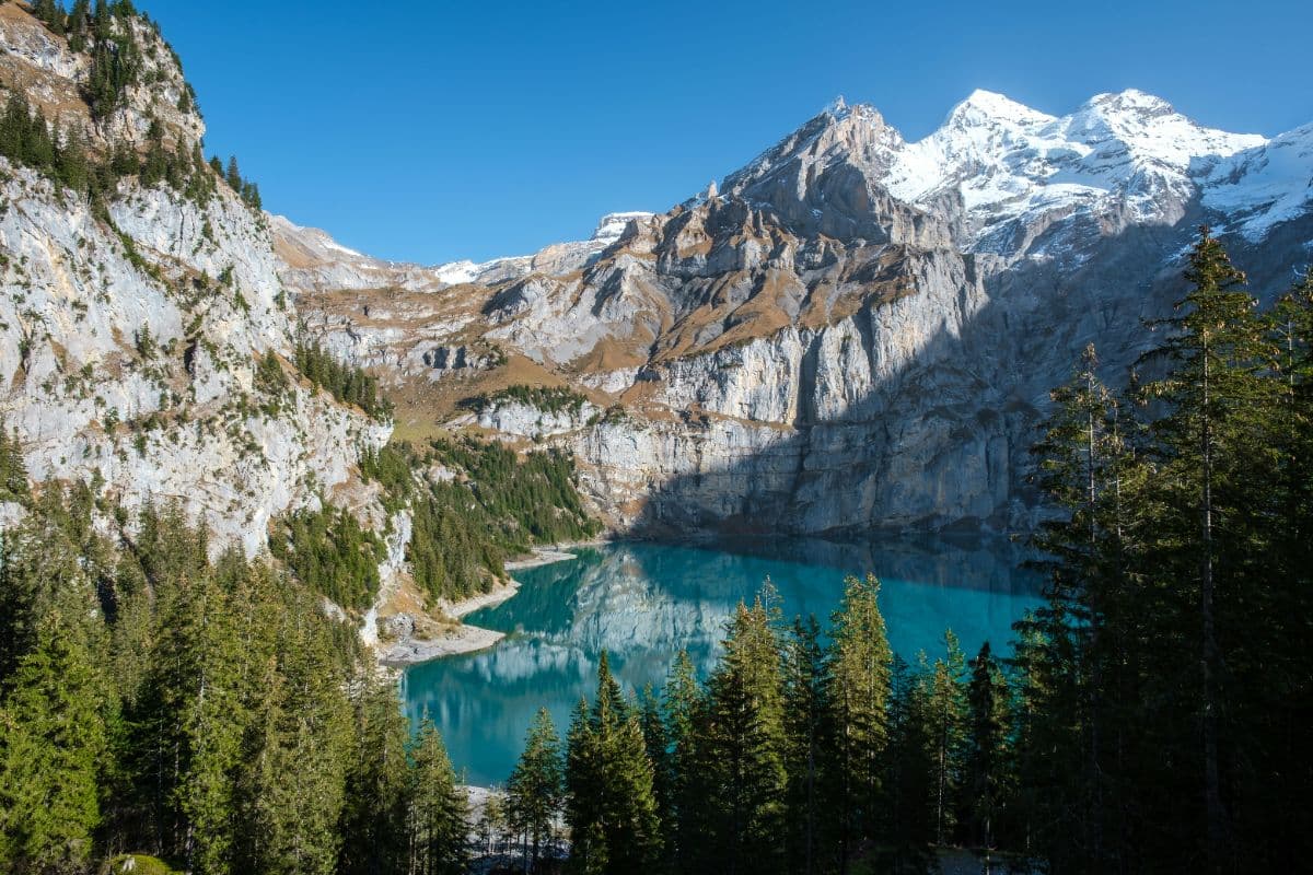
Bärentrek
Six days over the passes of the Bernese Oberland, from Meiringen past the Eiger north face and over the Sefinenfurgge and Hohtürli to Lenk: the classic Via Alpina week.
 Hohe Tauern · Austria
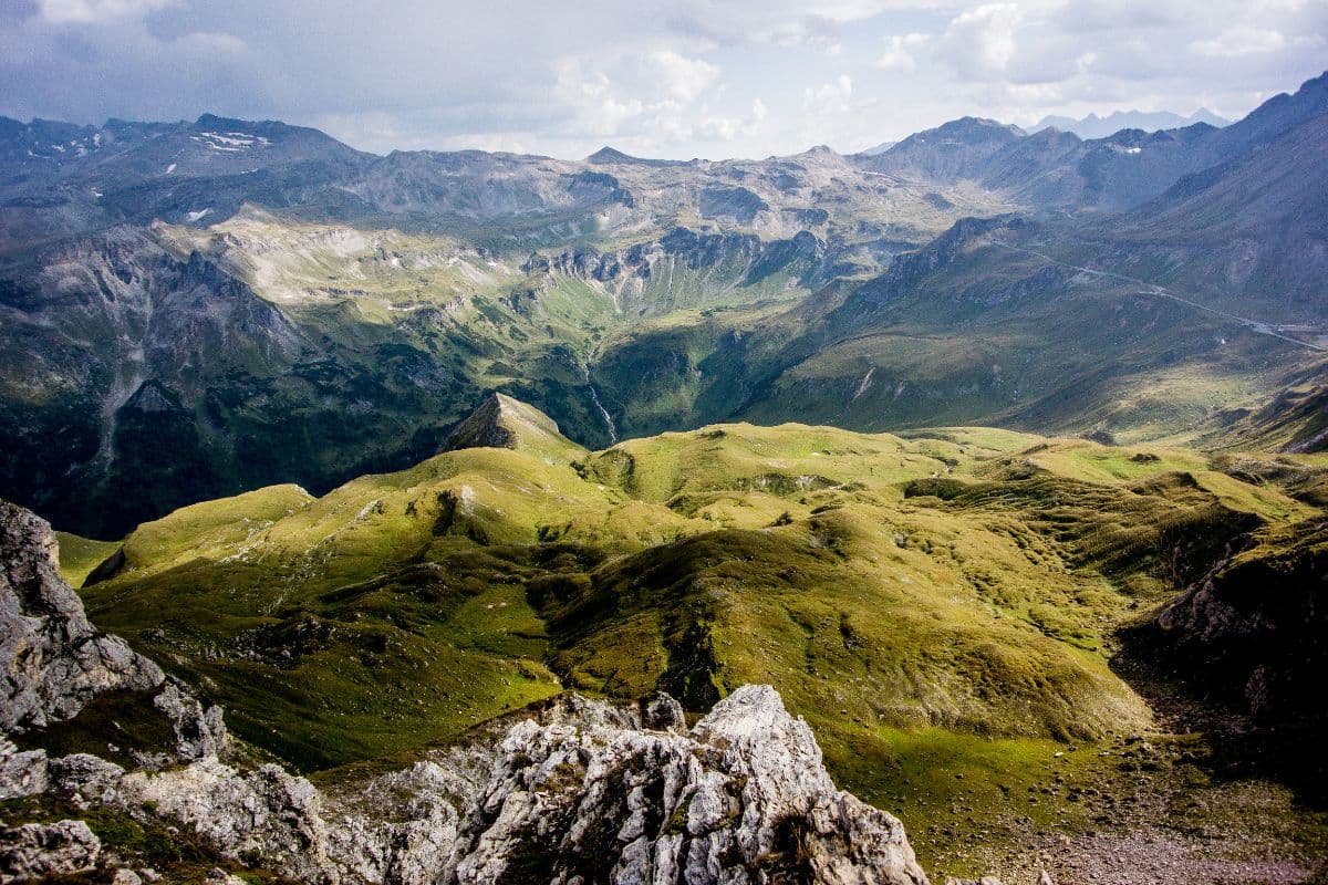
Wiener Höhenweg
Six hut-to-hut days through the wild heart of Hohe Tauern National Park, from the Iselsberg pass to the Glocknerhaus below the Grossglockner. Turquoise lakes, secured passes, huts at 2,500 metres.
 Meraner Land · Italy
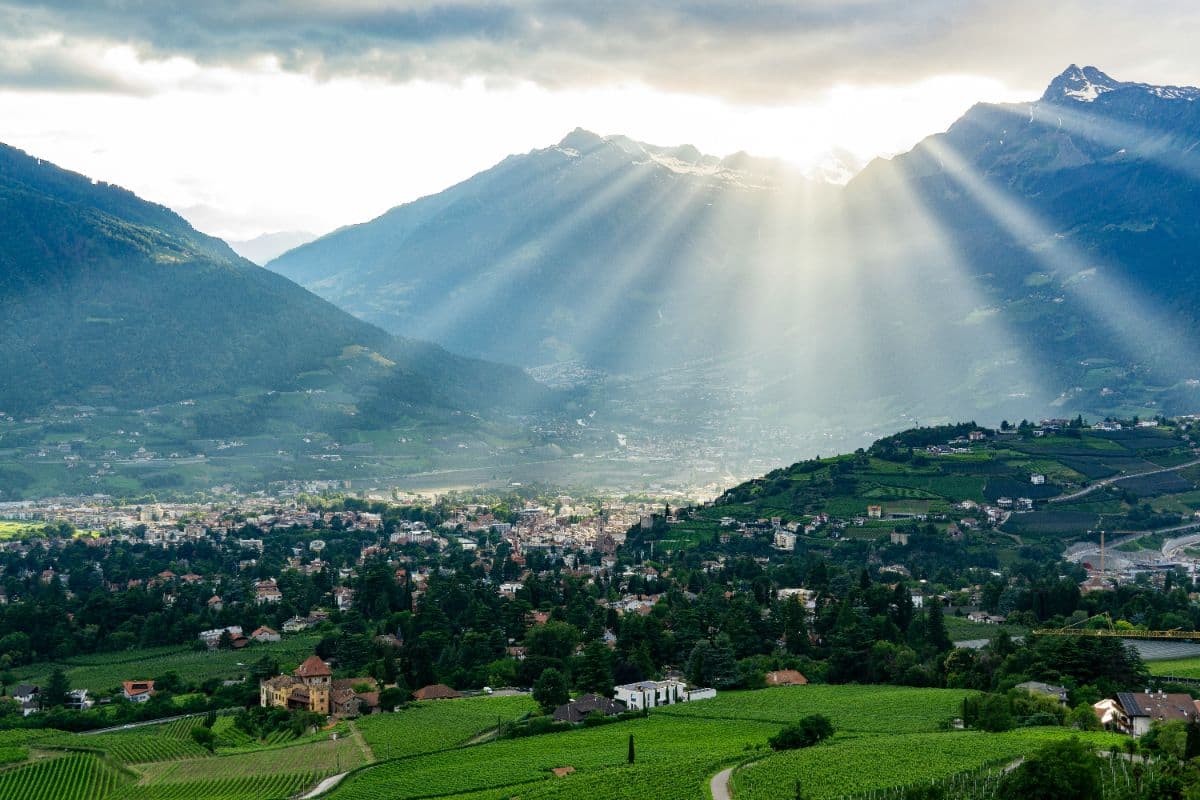
Meraner Höhenweg
Eight days on way 24 around the Texelgruppe: palms and cypress on the south flank, a 2,895-metre pass on the north side. A hut-to-hut loop with views of Meran, the Etschtal and the Ortler.