
 Gesäuse · Austria
Gesäuse Hüttenrunde
Seven days under the walls of the Gesäuse

About Gesäuse Hüttenrunde
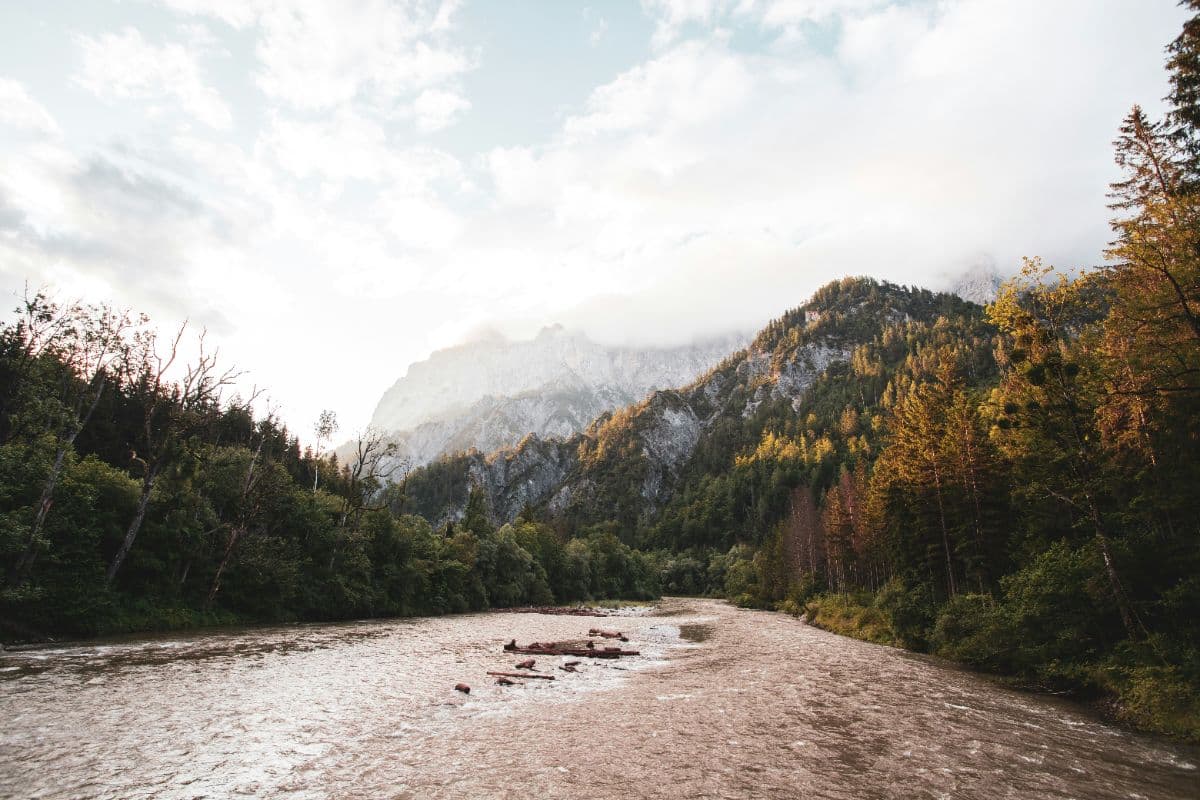
Wild water, steep rock: that is the motto of the Nationalpark Gesäuse, and the Hüttenrunde is the walk that takes both in over seven days. The Enns river has cut its gorge straight through the middle of the range, and the limestone walls of the Hochtor and Buchstein groups rise more than a thousand metres above it. You walk the full circle: from the abbey town of Admont over the Kaiserau plateau to the Mödlinger Hütte, down into the Bergsteigerdorf Johnsbach, up to the Hesshütte at the foot of the Hochtor walls, through the lonely Sulzkar to the Ennstaler Hütte, on to the Buchsteinhaus, the Haindlkarhütte under the famous north walls, the Admonterhaus high above Admont, and finally across the Haller Mauern back to the starting point.
The Gesäuse became a national park in 2002, and it remains one of the quietest corners of the Austrian Alps: the valley floor belongs to the Enns and its gravel banks, the slopes to pine forest and scree, and the ridges to chamois and golden eagle. Johnsbach is a Bergsteigerdorf, a mountaineers' village, and its churchyard holds Austria's largest mountaineers' cemetery, the last resting place of climbers who fell on these very walls. On the trail you cross the Sulzkarhund ridge at 1,821 metres, pass the thundering waterfalls of the Hartelsgraben, and climb to the Admonterhaus, at 1,723 metres the highest hut of the Gesäuse, with the best view over Admont and into Upper Austria.
The route counts seven days and roughly 125 kilometres with about 6,000 metres of ascent and descent on the official version. All stages run on red-dot marked mountain paths, technically moderate, but with sustained days and, on the descent from the Hochtor flanks, laddered passages on the Wasserfallweg that are best avoided in wet weather. Sure-footedness and a head for heights are required, luggage transfer is not possible. One day uses the Gesäuse Sammeltaxi between the Haindlkar parking and the Buchauer Sattel, booked two hours in advance. Season: mid-May to mid-October, depending on snow and the huts' opening dates. Admont lies on the Ennstalbahn between Selzthal and Leoben, so the whole loop is reachable and walkable without a car.
Stages Gesäuse Hüttenrunde
The Gesäuse Hüttenrunde is split here into 7 stages of 14 to 21 km, 119 km in total, a loop hike from and to Admont. The stages below are a sample itinerary: in the planner you put together your own days and choose where you sleep.
Admont - Mödlinger Hütte
From the abbey town the path climbs the Veitlgraben to the Kaiserau plateau, past the Klinkehütte and over the Kalblinggatterl onto the meadows of the Flitzenalm. Below you the south face of the Admonter Reichenstein, the summit that climbers long considered unclimbable, first ascended from these very pastures in 1873. The day ends on the ridge of the Treffneralm, where the Mödlinger Hütte sits at 1,523 metres with an open view over the Großer Ödstein and Sparafeld.
Mödlinger Hütte - Hesshütte
The morning drops into the Bergsteigerdorf Johnsbach, where the churchyard against the church hill is Austria's largest mountaineers' cemetery: a century and a half of climbers who fell on the walls you are now walking under. Past the waterfall on the Schattseitenweg the trail climbs through larch woodland to the Ennsecksattel, and the Hesshütte appears at 1,699 metres, an oasis of grass pressed under the rock walls of the Hochtor group.
Hesshütte - Ennstaler Hütte
The longest day crosses the Sulzkarhund at 1,821 metres, the highest point of the whole round, and drops through the lonely Sulzkar past the Sulzkarsee. The old forest road follows the Hartelsgraben, where the stream gathers size and voice through a chain of waterfalls, after which the path climbs again under the Tamischbachturm to the Ennstaler Hütte at 1,543 metres, the oldest hut of the Gesäuse, on a ridge seat facing the wild north side of the Hochtor group.
Ennstaler Hütte - Haindlkarhütte
Down through the Butterbründl to the Enns valley at Gstatterboden, where the Nationalpark Pavillon explains the Planspitze walls across the river. The Rauchbodenweg runs high above the Enns with views straight down into the gorge, then the day's honest climb begins: 930 metres of switchbacks through forest to the Buchsteinhaus, an eagle's nest of a hut at 1,571 metres under the Buchstein walls, and after the descent to the valley floor the evening climb to the Haindlkarhütte at 1,121 metres closes the day in the shadow of the north faces.
Haindlkarhütte - Admonter Haus
The morning descends the Haindlkar to the valley road, where the Gesäuse Sammeltaxi (book two hours ahead) covers the stretch to the Buchauer Sattel. From there the path climbs over the Grabneralm, a nostalgic alm with a sun terrace, and then along a ridge with views to the Gesäuse, the Dachstein and the Glockner group. The final steep steps under the Admonter Warte reach the Admonterhaus at 1,723 metres, the highest hut of the Gesäuse, above the rooftops of Admont.
Admonter Haus - Rohrauerhaus
The day starts with a long beech-forest descent to Hall, then crosses the Mühlau meadows to the Pyhrgasgatterl, where the trail crosses from Styria into Upper Austria and back along the foot of the Haller Mauern. No inn on the way, so carry water: the forest road climbs steadily to the Rohrauerhaus at 1,308 metres, a quiet hut on the saddle meadow with the limestone towers of the Haller Mauern above it.
Rohrauerhaus - Admont
The last day keeps things gentle: over the Bacher Alm and the Ardning Alm, where the terrace still looks back at the Haller Mauern, then down through Ardning and along the Enns cycle path to Frauenberg. At the Mödringer bridge the route crosses the Enns and follows the river downstream through the rock gate into Admont, where the abbey library, the largest monastic library of the world, is worth an extra day of your life.
FAQ
Below you'll find answers to some frequently asked questions.
Ready to Explore Gesäuse Hüttenrunde?
Start planning your adventure today!
Open this trip in the free Vandra mobile app and copy it to your own account, so you can edit it and plan freely, exactly the way you want.
More trips nearby
 Ortlergebiet · Italy
Ortler Höhenweg
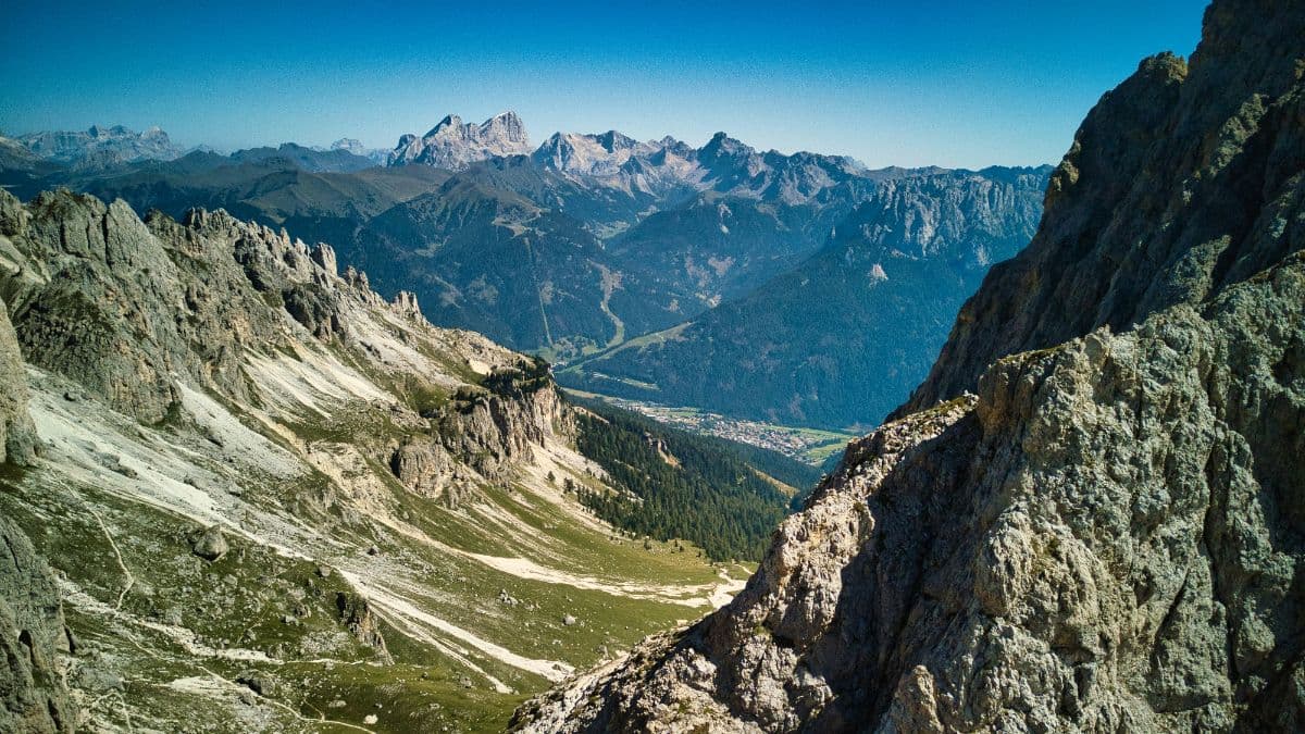
Seven high-alpine stages around South Tyrol's highest mountain, from the Stilfserjoch through the glacier country of the Cevedale group to the lakes of Cancano.
 Stubai Alps · Austria
Stubaier Höhenweg
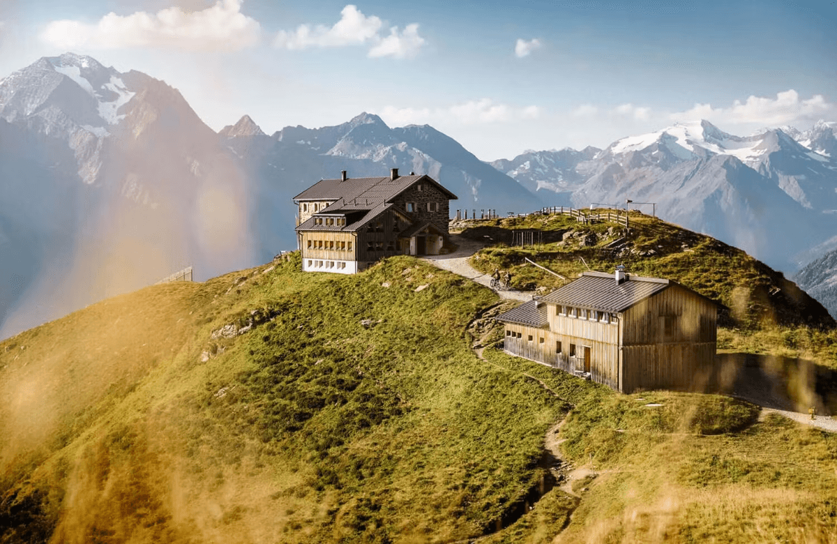
A hut-to-hut tour over the high passes of the Stubai Alps: glacier views, ridgelines above 2,800 metres and eight mountain huts in a week on the Stubai Hohenweg.
 Berner Oberland · Switzerland
Bärentrek
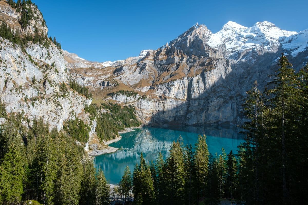
Six days over the passes of the Bernese Oberland, from Meiringen past the Eiger north face and over the Sefinenfurgge and Hohtürli to Lenk: the classic Via Alpina week.