
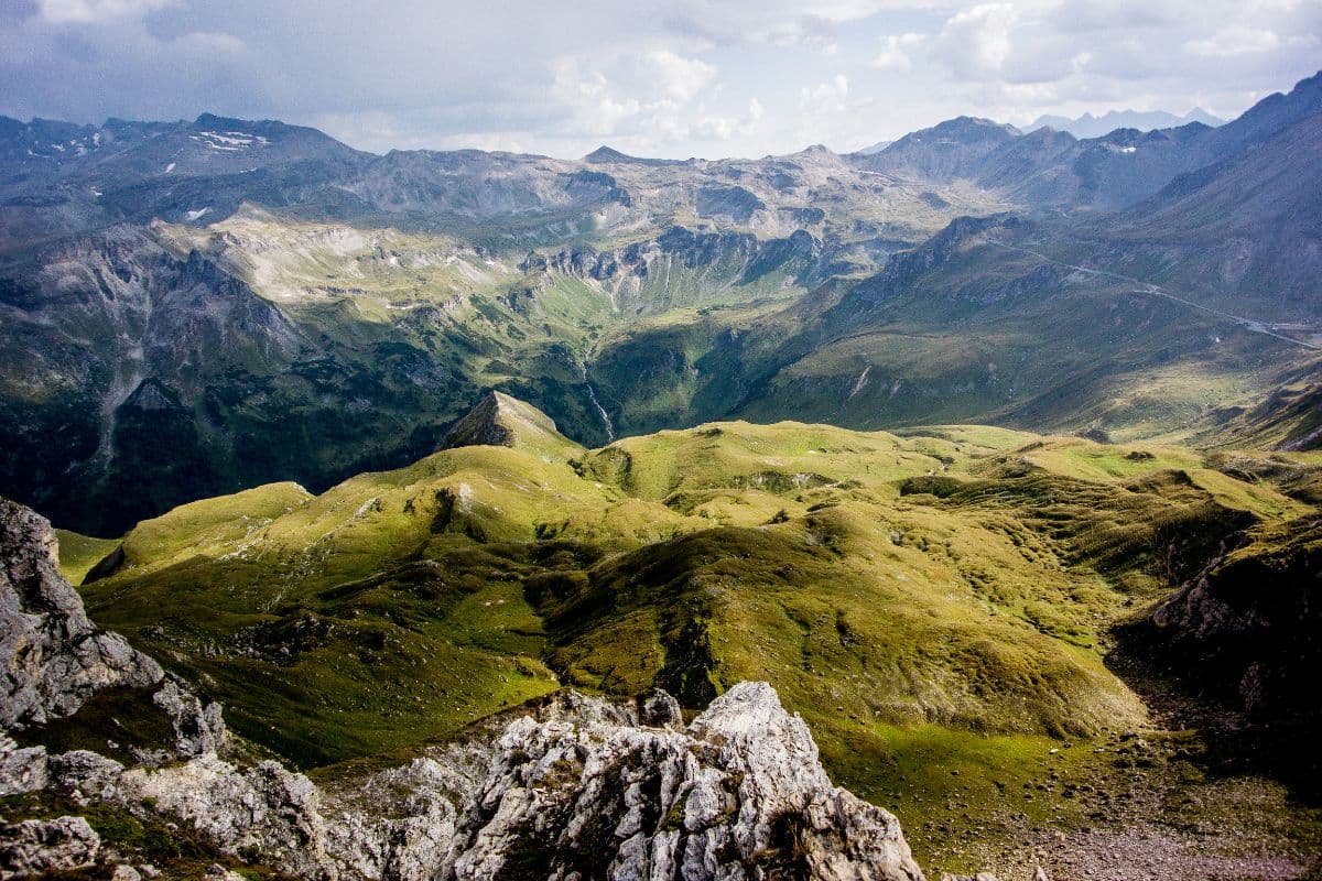


About This Trip
The Wiener Höhenweg crosses the Schober Group, the loneliest corner of Hohe Tauern National Park, from the Iselsberg pass near Lienz to the Glocknerhaus on the Grossglockner High Alpine Road. Built by Vienna alpine club sections between 1928 and 1933, it links seven huts across roughly 45 kilometres with around 4,500 metres of climbing, crossing a chain of passes above 2,500 metres.
This is genuinely high-alpine walking. The route passes turquoise mountain lakes, the rock labyrinth below the Himmelwand, and the Hornscharte at 2,958 metres, the highest and most exposed point, where steel cables secure the steepest passages. Early in the season snow can linger on the passes, and huts will advise on conditions; the alternative Klammerscharte crossing requires glacier equipment and is only for experienced parties. You should be sure-footed, free of vertigo and comfortable with exposed, cable-secured terrain. Navigation is straightforward on the way itself, with the trail marked end to end.
Each day ends at a hut, so you walk with what you carry and book ahead. Huts open from roughly mid-June to late September and fill up in summer; reserve beds weeks in advance. Start at the Iselsberg pass, reached by bus 942 from Lienz train station, and finish at the Glocknerhaus, from where a hiking bus runs to Heiligenblut in season. July to mid-September is the core window; expect night temperatures near freezing even in August at 2,500 metres.
Stages
Planning a multi-day hike often takes more time than expected. Which route matches your experience level? Where will you stay overnight? Are the accommodations available? We have done the preparation for you. With carefully curated routes, accommodations and highlights, you can easily plan your next adventure.
Iselsberg - Winklerner Hütte
The bus drops you at the Iselsberg pass at 1,209 metres. A forest path leads past the Lugger Alm and climbs gently along a gravel road, with views back over the Drau valley towards Lienz. By early afternoon you reach the Winklerner Hütte at 1,905 metres, the traditional warm-up stage of the route, where the terraces look straight into the Schober Group.
Winklerner Hütte - Wangenitzseehütte
From the Roaner Alm the path climbs the flank of the Strasskopf into high country. The traverse below the Himmelwand is the day's exposed highlight; from there the route climbs steeply to the Obere Seescharte at 2,603 metres. Down the other side lie the Wangenitzsee and Kreuzsee, two turquoise lakes, and the highest hut of the route at 2,508 metres.
Wangenitzseehütte - Adolf-Nossberger-Hütte
A short but rocky day. From the hut the trail climbs to the Kreuzseeschartl at 2,810 metres and runs exposed along the flank of the Hoher Perschitzkopf into the Perschitzkar. Over scree and short cable-secured ramps you reach the Niedere Gradenscharte at 2,796 metres, then descend over polished granite slabs to the hut on the shore of the Großer Gradensee.
Adolf-Nossberger-Hütte - Elberfelder Hütte
The key section. Steep and partly cable-secured, the trail climbs from the Gradental to the Hornscharte at 2,958 metres, the highest point of the whole route, where the Schober Group spreads out on all sides. The descent on the north side demands full concentration over blocks and scree; after that the trail eases down to the Elberfelder Hütte at 2,346 metres.
Elberfelder Hütte - Glorer Hütte
Past the Tramer See and a mighty rock glacier the trail arcs up to the Kesselkeessattel at 2,912 metres, where the Gernot-Röhr bivouac box stands. The 3,119-metre Böses Weibl makes a worthwhile extra summit here. Descend north to the Peischlachtörl and follow the reroute over the Kastenegg, in place since the path below was closed by rockfall, to the Glorer Hütte at 2,642 metres.
Glorer Hütte - Glocknerhaus
The last stage leaves the Schober Group for the Glockner Group. Over the Glatzschneid you reach the Salmhütte, then a long traverse with the Grossglockner in full view leads to the Stockerscharte, which opens the view over the Pasterze, the largest glacier of the Eastern Alps. Down past the Margaritzenstausee and up the last stretch to the Glocknerhaus, the hiker's finish.
FAQ
Below you'll find answers to some frequently asked questions.
Ready to Explore Wiener Höhenweg?
Start planning your adventure today!
Open this trip in the free Vandra mobile app and copy it to your own account, so you can edit it and plan freely, exactly the way you want.
More trips nearby
Discover other curated multi-day hikes nearby, handpicked by our community.
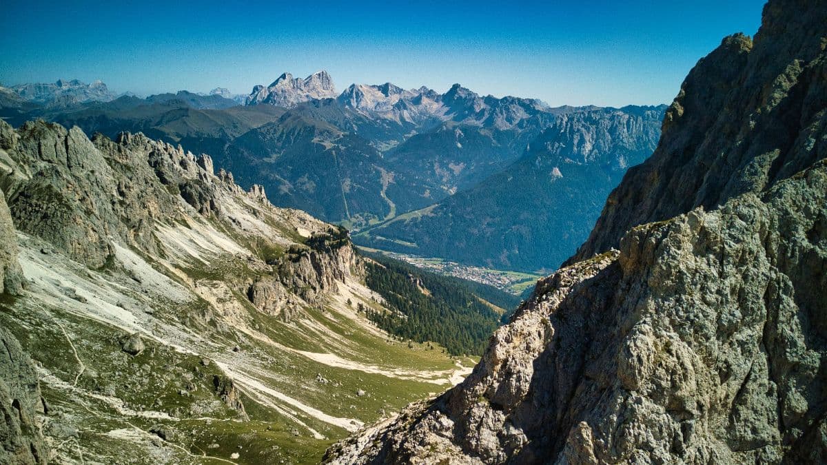
 Ortlergebiet · Italy
Ortler Höhenweg
Seven high-alpine stages around South Tyrol's highest mountain, from the Stilfserjoch through the glacier country of the Cevedale group to the lakes of Cancano.
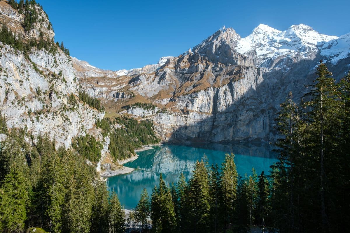
 Berner Oberland · Switzerland
Bärentrek
Six days over the passes of the Bernese Oberland, from Meiringen past the Eiger north face and over the Sefinenfurgge and Hohtürli to Lenk: the classic Via Alpina week.
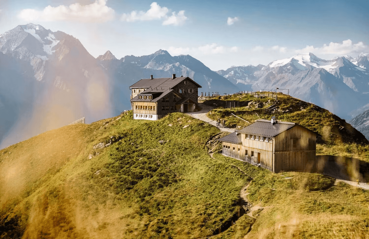
 Stubai Alps · Austria
Stubaier Höhenweg
A hut-to-hut tour over the high passes of the Stubai Alps: glacier views, ridgelines above 2,800 metres and eight mountain huts in a week on the Stubai Hohenweg.