
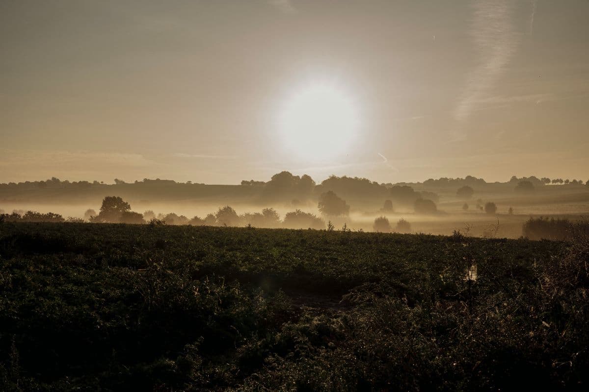
 Zuid-Limburg · Netherlands
Krijtlandpad
Chalk hills and hollow roads around Maastricht

About Krijtlandpad
The Krijtlandpad is a yellow-red waymarked regional trail of some 90 kilometres through the Mergelland of South Limburg: five stages of 14 to 23 kilometres from and to Maastricht station, first along the Meuse, over the three-country point on the Vaalserberg and back through the Geul valley.
The route starts at Maastricht station and first follows the Meuse to Eijsden before the land begins to climb: hollow roads around Noorbeek, roadside chapels and timber-framed houses, and around Slenaken the quiet Gulp valley. Day three is the king stage, over Epen and the Vijlener forests to the three-country point, with more than 275 metres of climbing on the ridge. After that come the stream valleys of Holset and Wijlre, with castles in the green, and the final stage walks the Geul valley past the Redemptorist monastery of Wittem, over the Cauberg at Valkenburg, and back through Berg en Terblijt and Meerssen to the Sint Servaasbrug.
Practical. Accommodation is available in every stage-end village: hotels, B&Bs and small campsites in Maastricht, Mariadorp, Slenaken, Vaals, Gulpen and Valkenburg; book early, especially in summer. Maastricht and Valkenburg have train stations, and buses run between the stage villages, so skipping a day or splitting the route in two is easy. More than sixty percent of the route is unpaved; wear sturdy, grippy walking shoes, as the hollow roads get slick after rain and the rolling character asks for continuous small climbs.
Stages Krijtlandpad
The Krijtlandpad is split here into 5 stages of 14 to 23 km, 92 km in total, a loop hike from and to Maastricht. The stages below are a sample itinerary: in the planner you put together your own days and choose where you sleep.
Maastricht - Mariadorp
The quiet opener. You leave the city along the Maas with the Sint-Pietersberg hill at your back. Past Eijsden the river becomes a side channel with wild horses in the floodplains, and at Mariadorp the land starts to rise: orchards, roadside crosses and views that are already pure Limburg. In the village Hotel le Bonheur waits, a familiar stop on the route for over a century.
Mariadorp - Slenaken
The day of the hollow roads. Deeply cut paths climb and drop through the land around Noorbeek, whose old square still feels like a piece of another country. Timber-framed houses, roadside chapels and soft rolling valleys take turns; at Slenaken the hills open onto the Gulp valley, where the Lourdesgrot waits at the end of the day.
Slenaken - Vaals
The king stage, and the hardest: more than 275 metres of climbing across the Heuvelland, past Epen and the Vijlener forests to the Drielandenpunt, the highest point of the Netherlands on the Vaalserberg. After the three-country view you drop through open heath into Vaals, a town where three borders meet at the end of the day.
Vaals - Gulpen
The stream day. From Vaals you follow a string of streams, the Zieversbeek, Hermansbeek, Harleserbeek and Mechelderbeek, as the hills mellow. Through Holset and Wijlre, with castles tucked into the green valley, the day ends in Gulpen below the Gulperberg, where Gulpener beer lands on the table.
Gulpen - Maastricht
The finale through the Geul valley. Via Wittem and its Redemptorist monastery the route reaches Valkenburg, where the Cauberg asks for one last climb. Then the Geul flows along with you through Berg en Terblijt and Meerssen, and Maastricht slowly approaches: the Sint Servaasbrug and the Vrijthof are the end of the day, and of the route.
FAQ
Below you'll find answers to some frequently asked questions.
Ready to Explore Krijtlandpad?
Start planning your adventure today!
Open this trip in the free Vandra mobile app and copy it to your own account, so you can edit it and plan freely, exactly the way you want.
More trips nearby
 South Limburg · Netherlands
Dutch Mountain Trail
The toughest long-distance walk in the Netherlands: four days across the hills of South Limburg, over the Seven Summits, through three countries, from Eygelshoven station to Maastricht.
 Hautes Fagnes · Belgium
Venntrilogie
Six-day trek from the tripoint at Vaalserberg across the High Fenn to Lake Bütgenbach, over bog plateau, castle country and Ardennes river valleys.