 Hautes Fagnes · Belgium
Venntrilogie
From three borders to Belgium's rooftop

About This Trip
The Venntrilogie runs about 109 kilometres in six stages from the Drielandenpunt at Vaalserberg, where Belgium, the Netherlands and Germany meet, to Lake Bütgenbach in the Belgian Eifel. The daily stages are long but honest: roughly 10 to 25 kilometres per day, with the biggest single climb saved for the crossing of the High Fenn plateau, where the trail reaches Signal de Botrange at 694 metres, the highest point of Belgium. Expect around 2,800 metres of accumulated ascent over the whole route.
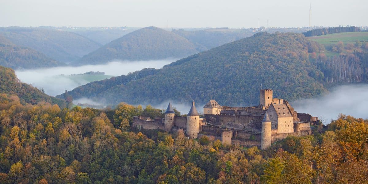
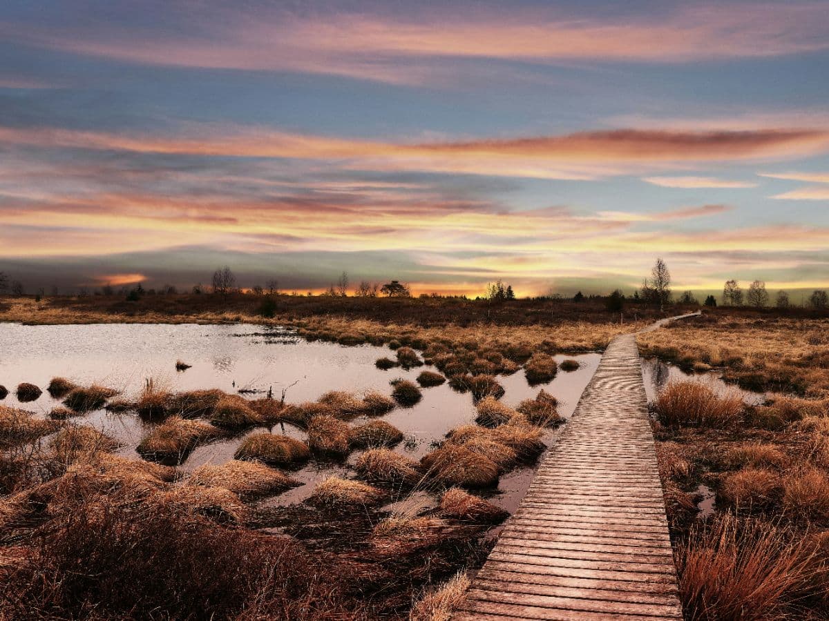
The character changes with every stage. The first two wind through rolling border country between the three countries, past mine history in Kelmis and a string of castles around Raeren, before dropping into Eupen, the main town of the German-speaking community. From there the trail climbs onto the High Fenn: open peat bog, wooden walkways, spruce and heather, with boardwalks over the wettest sections and a weather station at the summit that tells you why you brought a rain shell. The second half descends through the Warche valley past the Bayehon waterfall and the medieval Château de Reinhardstein to the lakes at Bütgenbach and Worriken.
The trail is fully waymarked with its own logo signs and the navigation is straightforward, but the plateau sections deserve respect in poor visibility. Accommodation logic is town-based: Eupen has the widest choice of hotels and a youth hostel, Malmedy and the Ovifat area serve the middle days, and the route finishes at the lakeside campsite and hotels of Bütgenbach. Book the High Fenn stage end and the Reinhardstein valley nights ahead in summer. Spring brings moorland flowering, early autumn the clearest views; book Eupen and Malmedy weekends early. By train, Eupen is the practical entry point via Liège, with local buses to the Vaalserberg trailhead and from Bütgenbach back.
Stages
Planning a multi-day hike often takes more time than expected. Which route matches your experience level? Where will you stay overnight? Are the accommodations available? We have done the preparation for you. With carefully curated routes, accommodations and highlights, you can easily plan your next adventure.
Vaalserberg - Eynatten
You start where three countries meet: the Drielandenpunt at Vaalserberg, with its maze and viewing tower. South through the Hohnbachtal, past the zinc-mine history and smuggling stories of Kelmis, to finish in the Eynatten area among the hedgerows of the border country.
Eynatten - Eupen
From Eynatten the trail heads for the castle country: Burg Raeren with its pottery museum, moated houses and the ruins of the old marble works, then the descent to Eupen on the Vesdre, capital of the German-speaking Community, with its museums, cafés and the IKOB museum of contemporary art.
Eupen - Signal de Botrange
NOTE: after the August 2026 wildfire, part of the High Fenn is closed to the public and this stage crosses the closed zone; check the latest access info before setting out. The big plateau day. Out of the Vesdre valley and up onto the High Fenn, where boardwalks cross the peat bog and the horizon opens wide. Past the Baraque Michel area and the Noir Flohay heathland you climb to Signal de Botrange, 694 metres and the highest point of Belgium, with its stone tower.
Signal de Botrange - Malmedy
Off the plateau and down towards the Warche: the Bayehon waterfall tumbles in a wild little gorge, then rolling Ardennes terrain with long views. You finish in Malmedy, home of the Malmundarium and the December 1944 bombardment memorial, with plenty of restaurants for the evening.
Malmedy - Robertville
A rolling day out of Malmedy along the Warche, with the valley narrowing as you approach the Robertville lake. The morning leaves time for the Malmundarium before you set off, and the day ends calmly by the water.
Robertville - Bütgenbach
The gentle finale: from Robertville the route follows the Warche to Lake Bütgenbach, ending at Worriken on the lakeshore, the recreation area of Bütgenbach, where swimming, a campsite and hotels close the trip with a view over the water.
FAQ
Below you'll find answers to some frequently asked questions.
Ready to Explore Venntrilogie?
Start planning your adventure today!
Open this trip in the free Vandra mobile app and copy it to your own account, so you can edit it and plan freely, exactly the way you want.
More trips nearby
Discover other curated multi-day hikes nearby, handpicked by our community.