
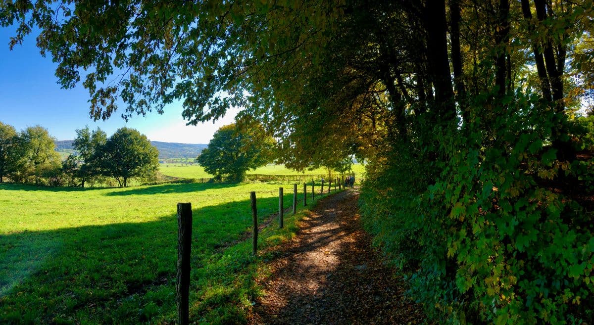
 South Limburg · Netherlands
Dutch Mountain Trail
Seven summits through the Dutch hills

About Dutch Mountain Trail
The Dutch Mountain Trail is the toughest long-distance walk in the Netherlands: 101 kilometres through South Limburg, with almost 1,900 metres of climbing over seven summits the Dutch Mountain Film Festival crowned in 2019. The route was laid out in 2020 and runs from Eygelshoven station to Maastricht, across three countries.
The hills keep their best sections for the climb: the Wilhelminaberg, a man-made mining heap above the old coal landscape; the Schneeberg, a German summit guarded by Second World War dragon's teeth; the vineyard terraces above the Geul; and the finale through the ENCI quarry, where turquoise lakes sit under white marl walls. The Vaalserberg, the highest point of the Netherlands, lies on the route but deliberately does not count as a summit.
It is not alpine walking, but it is mountain terrain: steep climbs, holloways that turn to loess soap after rain, and days of six to eight hours. Food is scarce on the hills, so carry supplies.
Practical. The route runs 101 kilometres over the seven summits of South Limburg. The route is waymarked with the DMT logo; on the border sections the signs are thin, so keep an eye on the waymarks. The Eijsden ferry runs from April to October, takes cash only, and means an eight-kilometre detour when it is not sailing. Start at Eygelshoven station, finish in Maastricht; sleep in Vaals, Gulpen and Mheer. September and October are finest, when the beeches turn.
Stages Dutch Mountain Trail
The Dutch Mountain Trail is split here into 4 stages of 23 to 28 km, 101 km in total, from Eygelshoven to Maastricht. The stages below are a sample itinerary: in the planner you put together your own days and choose where you sleep.
Eygelshoven - Vaals
Set off from Eygelshoven station into the old coal-mining landscape and climb the first of the seven summits: the Wilhelminaberg, a pine-topped slag heap built a century ago by miners. The route dips into Germany to ascend the forested Schneeberg, then returns across the border and descends through woods to Vaals, the only Dutch town that borders two countries.
Vaals - Gulpen
The most scenic day starts with the climb to the Vaalserberg, the highest point of the Netherlands, where the Drielandenpunt maze and its three-country lookout sit just beside the trail. The way continues through the Vijlenerbos, past vineyards and half-timbered farms, over the Eyserberg and down into the Geul valley to the brewery village of Gulpen.
Gulpen - Mheer
Three summits in one day. From the Gulperberg the view stretches over the Geul and Gulp valleys; the trail then crosses orchard country to the Hakkenberg on the Belgian border and climbs the Kattenroth, the seventh summit, with the Voer region below. A quiet lane brings you to the hamlet of Mheer, in the shadow of its castle.
Mheer - Maastricht
A gentle finale by Limburg standards. Descend to the Meuse and cross by the small ferry at Eijsden (April to October, cash only), briefly stepping onto Belgian soil. The trail then climbs D'n Observant above the ENCI quarry, whose white terraces drop into blue water, before the last kilometres drift through Maastricht to the finish at the station.
FAQ
Below you'll find answers to some frequently asked questions.
Ready to Explore Dutch Mountain Trail?
Start planning your adventure today!
Open this trip in the free Vandra mobile app and copy it to your own account, so you can edit it and plan freely, exactly the way you want.
More trips nearby
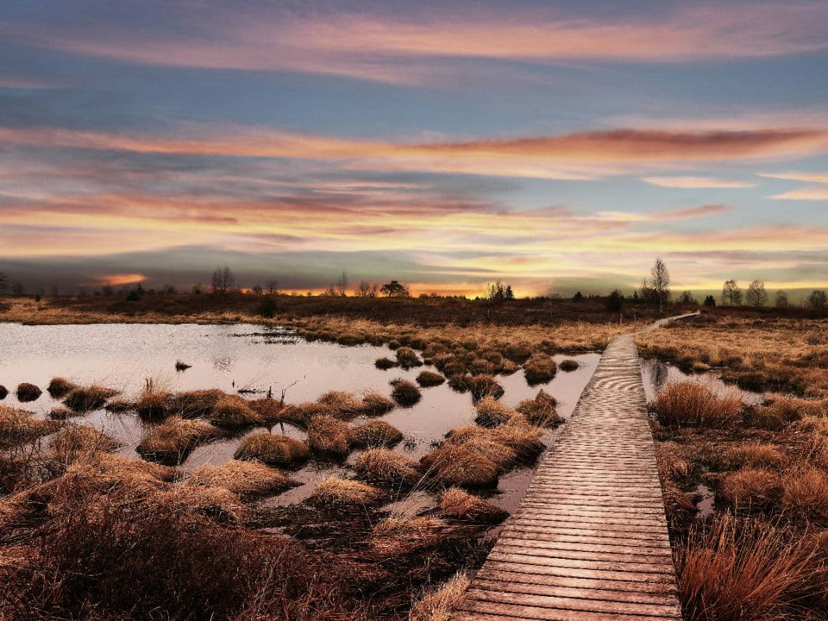
 Hautes Fagnes · Belgium
Venntrilogie
Six-day trek from the tripoint at Vaalserberg across the High Fenn to Lake Bütgenbach, over bog plateau, castle country and Ardennes river valleys.
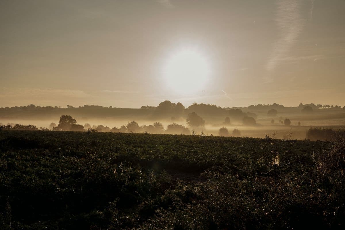 Zuid-Limburg · Netherlands
Krijtlandpad
Five days of hills, hollow roads and castles through the Mergelland of South Limburg, from Maastricht to the three-country point and back.
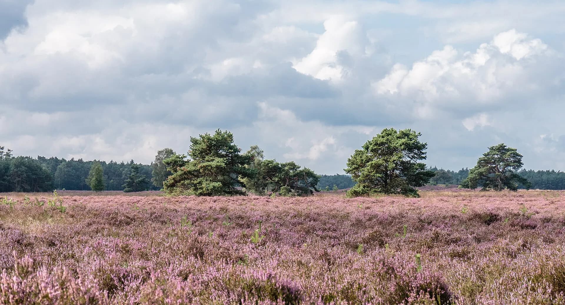 Veluwe · Netherlands
Veluwe Zwerfpad Midden
Two days across the Veluwe from Hoenderloo to Dieren: the Loenermark, drift sand, the sheepfold and the IJssel valley.