


About This Trip
A three-day crossing of the Éislek, the Luxembourg Ardennes, along the rocky schist ridges that give the trail its name: 'lee' is Luxembourgish for ridge, and you walk over a dozen of them. In total the route covers roughly 52 kilometres with about 2,000 metres of climbing, split into stages of 18, 13 and 21 kilometres. The trail holds the Leading Quality Trail - Best of Europe label, awarded to only a handful of long-distance routes on the continent.
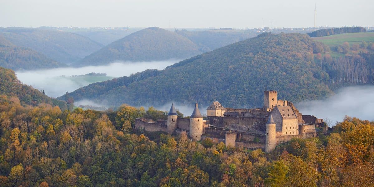
The character of the trail is narrow forest paths and constant ridge-and-valley hopping: the route crosses the Sûre valley repeatedly, climbing to viewpoints like the Gringlee, the Napoléonsknäppchen and the Molberlee ridge before dropping back to the river. Waymarking is excellent throughout, and the stage villages (Michelau, Bourscheid with its medieval castle, Dirbach, Hoscheid) give each day its own rhythm. The surfaces are natural terrain, so after rain some sections get muddy.
Both endpoints sit on railway lines, and public transport in Luxembourg is free: trains run hourly between Ettelbrück and Kautenbach, which also makes a two-day version possible by exiting at Goebelsmühle. Accommodation is simple and river-valley-based: campsites with trekkers' huts at Bourscheid-Moulin, Goebelsmühle and Kautenbach, plus a handful of hotels. Many hikers use Camping du Nord at Goebelsmühle as a base and day-hike outward by train. May to mid-June and September are the best months; book huts and hotels in the Bourscheid valley ahead for summer weekends.
Stages
Planning a multi-day hike often takes more time than expected. Which route matches your experience level? Where will you stay overnight? Are the accommodations available? We have done the preparation for you. With carefully curated routes, accommodations and highlights, you can easily plan your next adventure.
Ettelbrück - Bourscheid-Moulin
Leave Ettelbruck station and climb to the Predigstuhl viewpoint over a wide meander of the Sûre. The trail drops to the riverside village of Michelau, then tackles the biggest climb of the day to the Gringlee ridge, with a first full panorama of Bourscheid Castle on its spur above the river. A narrow forest path brings you down to Bourscheid-Moulin on the valley floor, where the campsite and hotels sit right on the water.
Bourscheid-Moulin - Goebelsmühle
The shortest day, built around water and views. Cross the Sauer and climb through oak woods to Bourscheid village and the Napoléonsknäppchen viewpoint, then walk below the Rouschteschleen rock outcrops to quiet Dirbach. From there the trail follows the upper Sauer upstream to Goebelsmühle, whose station marks the end of the stage, with the option of an easy rail exit if the legs are done.
Goebelsmühle - Kautenbach
The longest and most relentless day. The trail enters the silent Schlënner valley and climbs the Molberlee, a sharp schist ridge that is the signature feature of the whole trail, to reach Hoscheid on the high plateau. What follows is a rollercoaster of ascents and descents along the Hoflee and Hockslee ridges, each summit opening a new view over the Ardennes plateaus, before the final ridge descent via the Bomm viewpoint lands you at Kautenbach station.
FAQ
Below you'll find answers to some frequently asked questions.
Ready to Explore Escapardenne Lee Trail?
Start planning your adventure today!
Open this trip in the free Vandra mobile app and copy it to your own account, so you can edit it and plan freely, exactly the way you want.
More trips nearby
Discover other curated multi-day hikes nearby, handpicked by our community.
 Mullerthal · Luxembourg
Mullerthal Trail
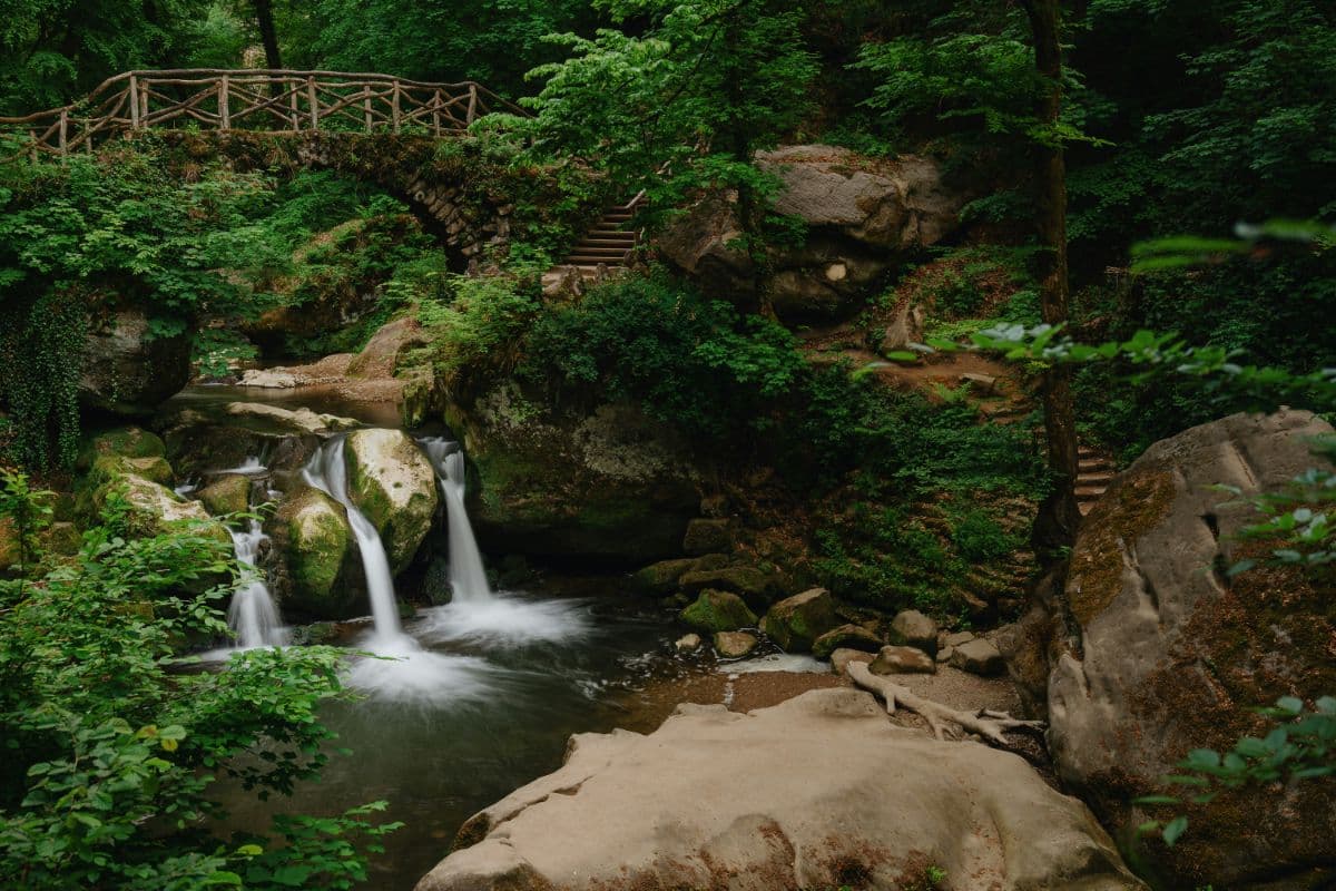
Six days through Luxembourg's Little Switzerland on the 112-kilometre Mullerthal Trail: sandstone labyrinths, mossy stream valleys, waterfalls and castles, on a Leading Quality Trail of Europe.
 Hautes Fagnes · Belgium
Venntrilogie
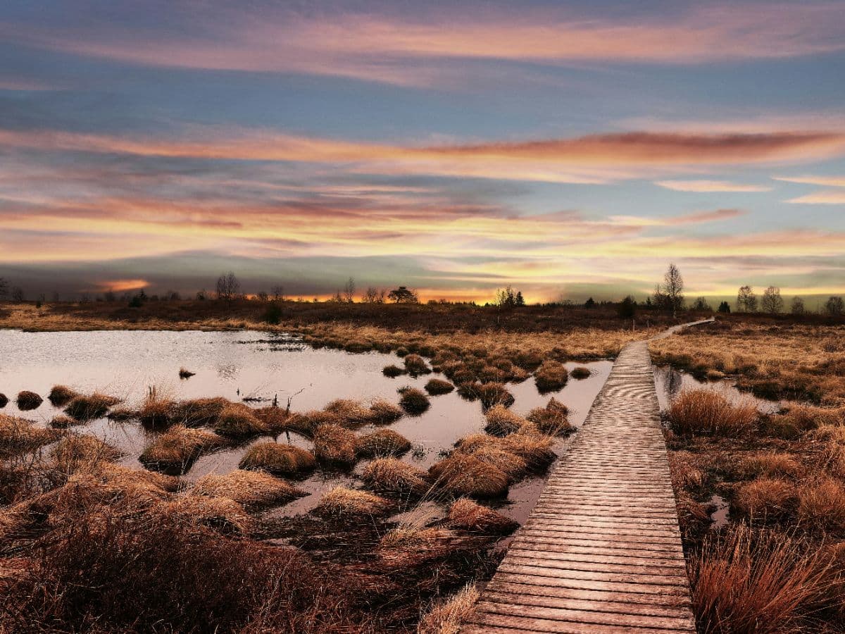
Six-day trek from the tripoint at Vaalserberg across the High Fenn to Lake Bütgenbach, over bog plateau, castle country and Ardennes river valleys.