 South Downs · United Kingdom
South Downs Way
Chalk ridges from Winchester to the sea

About This Trip
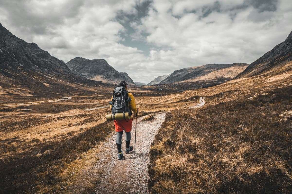
The South Downs Way runs 160 kilometres with around 3,800 metres of climbing across its undulating ridgeline, from Winchester in Hampshire to Eastbourne on the Sussex coast. The trail follows old drove roads along the chalk escarpment, and its character is defined by big skies, rolling grass, deep dry valleys and villages of flint and thatched brick below. Walking is straightforward and waymarked throughout with the National Trail acorn, but the constant ups and downs add up: the standard plan takes 8 to 9 days, with the steep final roller-coaster over the Seven Sisters saved for last. The highest point is Ditchling Beacon at 248 metres, and the trail stays high enough for views over the Weald and out to sea almost every day. Both endpoints are rail-connected (Winchester and Eastbourne have direct London services), with intermediate stations at Petersfield, Amberley, Hassocks and Lewes making shorter breaks easy. Accommodation ranges from riverside pubs to country hotels; the trail passes right through nine villages with beds, so luggage transfer or a light pack both work. Spring brings wildflowers and long evenings, September offers stable walking, and chalk can hold mud after rain in winter, though the trail is walkable year-round.
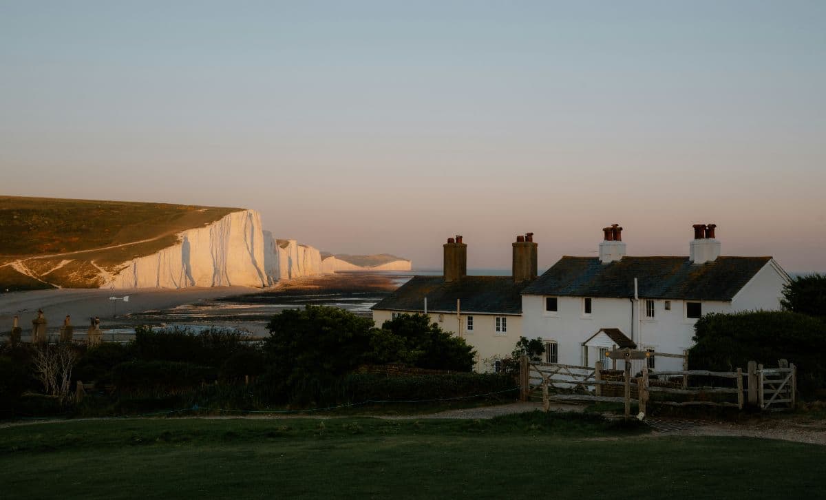
The chalk under your boots is one continuous geological story: the Downs are the eroded rim of an ancient sea floor, lifted and carved into the rolling whale-back hills, and the white cliffs of the Seven Sisters are its dramatic finale. People have walked this ridge for millennia, leaving hill forts, drove roads and villages built from the flint that ploughing turned up. The valleys below hold the Bloomsbury country around Charleston and Monk's House, where Virginia Woolf walked these same hills, and the long views north over the Weald explain why painters and writers never quite left.
Stages
Planning a multi-day hike often takes more time than expected. Which route matches your experience level? Where will you stay overnight? Are the accommodations available? We have done the preparation for you. With carefully curated routes, accommodations and highlights, you can easily plan your next adventure.
Winchester - Exton
Leaving Winchester's cathedral close, the trail climbs onto the chalk downs past Cheesfoot Head's great amphitheatre of grass. Old drove roads roll along the ridge with wide views over the Itchen valley, before a long descent through beech woodland to the meadows of the River Meon at Exton, a tiny village with a river-side pub.
Exton - Buriton
The day opens with the climb to Old Winchester Hill, an Iron Age hill fort and nature reserve with views to the Isle of Wight. Chalk downland and deep dry valleys follow over Butser Hill, the highest point of the park, before the trail drops through Queen Elizabeth Country Park to Buriton, a tidy flint village under the downs.
Buriton - Cocking
A shorter ridge day through the wilder western downs: the path climbs back onto the open grass and runs above Buriton's chalk pits, over the Henwood Downs and through quiet estate country to Cocking, sheltering in a fold of the hills with its church and popular village inn.
Cocking - Amberley
The longest day: beech-clad Beacon Hill, the vast arable skies above Bignor Hill with its Roman villa in the valley, then the steep chalk drop to the River Arun. Amberley arrives as a welcome oasis of thatched cottages, a station pub and a museum village below the ramparts of the downs.
Amberley - Steyning
Back on the ridge, the trail crosses the River Arun's wide watermeadows and climbs to Chanctonbury Ring, a Bronze Age hill fort wrapped in folklore and crowned by a famous ring of beeches. Open downland follows to the ancient market town of Steyning, tucked under the steep escarpment at the edge of the Adur valley.
Steyning - Pyecombe
The downs roll on over Edburton Hill and the Fulking escarpment, with long views over the Weald, to the Devil's Dyke, the world's largest chalk dry valley and a Victorian beauty spot. Beyond it the trail dips through Saddlescombe farm to Pyecombe, a hamlet of flint cottages beneath the steep hillside.
Pyecombe - Southease
A big downland day: past the Clayton windmills, over Ditchling Beacon at 248 metres, the trail's high point with views to the sea, then miles of rolling grass with the coast drawing closer. The day ends with the long descent to the River Ouse at Southease, a hamlet with a famous church and youth hostel by the bridge, where the tide of the estuary still reaches.
Southease - Alfriston
A short, blissful day across the Ouse valley and up over Itford Hill to Firle Beacon, with the sea now a constant companion on the horizon. Descend through the old villages of the Cuckmere valley: Litlington's thatched roofs and the riverside path lead into Alfriston, the prettiest village of the Downs, clustered around its huge fourteenth-century church.
Alfriston - Eastbourne
The grand finale: follow the Cuckmere river to the sea, then climb the roller-coaster of the Seven Sisters, seven gleaming chalk cliffs between green dips, to the lighthouse at Beachy Head. The trail edges the clifftops before descending through Holywell to the Victorian promenade and pier of Eastbourne.
FAQ
Below you'll find answers to some frequently asked questions.
Ready to Explore South Downs Way?
Start planning your adventure today!
Open this trip in the free Vandra mobile app and copy it to your own account, so you can edit it and plan freely, exactly the way you want.
More trips nearby
Discover other curated multi-day hikes nearby, handpicked by our community.