 Scottish Highlands · United Kingdom
West Highland Way
From Glasgow's edge to the foot of Ben Nevis
About West Highland Way
The West Highland Way is Scotland's classic long-distance walk: 154 kilometres from Milngavie on the edge of Glasgow to Fort William at the foot of Ben Nevis, with around 3,150 metres of climbing on the official count. The thistle marker covers the whole route, so navigation is simple and you can keep your eyes on the landscape.
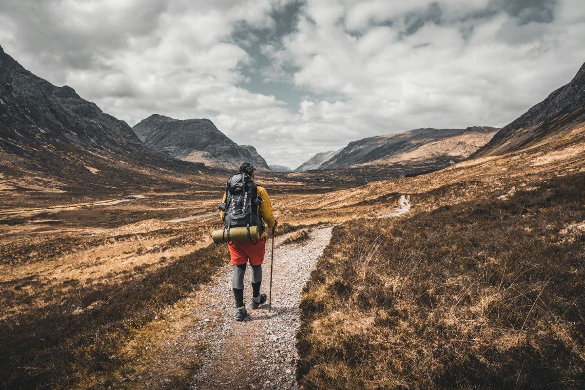
The ground changes daily: forest tracks and parkland in the first stages, the rocky path along the east shore of Loch Lomond, open heather and old military roads in the middle, and the zigzags of the Devil's Staircase at 548 metres, the route's high point, before the last day drops through Glen Nevis under the Mamores.
The route is a walk through Scottish history as much as through landscape. The military roads were built after the Jacobite risings of 1715 and 1745 so government troops could move through the Highlands; the drovers' roads took cattle from the islands to southern markets; and the shores of Loch Lomond, Rob Roy's country, set the tone for everything further north.
Practical. Eight stages of 14 to 24 kilometres. Both ends are on the railway: Milngavie has a frequent service from Glasgow and Fort William sits on the West Highland Line. You sleep in campsites, bunkhouses and small hotels; book the stages around Kingshouse and Kinlochleven well ahead, as they fill months in advance in summer. May and September give the best weather with the fewest midges; June to August is busiest.
Stages West Highland Way
The West Highland Way is split here into 8 stages of 14 to 25 km, 154 km in total, from Milngavie to Fort William. The stages below are a sample itinerary: in the planner you put together your own days and choose where you sleep.
Milngavie - Drymen
Leaving Milngavie's pedestrianised town centre, the trail quickly trades suburbia for quiet woodland and the first of many lochs, Craigallian. Rolling fields and old drovers' roads carry you towards the Campsie Foothills, with a first proper leg-stretch at Dumgoyne's whisky distillery before the gentle finish into Drymen village green.
Drymen - Rowardennan
The day opens with the climb over Conic Hill, a small summit with a giant payoff: your first full view down the length of Loch Lomond. Then it's the east shore all the way, through Balmaha's oak woodland and quiet bays where ospreys fish, finishing at Rowardennan where the loch narrows and the Highlands properly begin.
Rowardennan - Inverarnan
Widely reckoned the toughest section: the path hugs the loch shore over boulders and slabs along old Rob Roy smuggling routes. The rewards come at the waterfall above Inversnaid and the hidden bothy at Rowchoish, before the glen opens up and you reach Beinglas Farm at the dramatic falls of the Falloch.
Inverarnan - Tyndrum
Into the Highlands proper. The trail follows ancient drove roads north through open glens with constant views of Ben More and the Crianlarich peaks. You pass the atmospheric ruins of St Fillan's Priory and cross the River Fillan several times on the way to Tyndrum, a classic West Highland staging post with two distilleries.
Tyndrum - Inveroran
A shorter, blissful day. The climb out of Tyndrum reveals the lonely grandeur of Strath Fillan and the ruined kiln at Auchtertyre. Then comes the highlight: the old military road over the shoulder of Beinn Odhar, with the wide green whaleback of Ben Lui ahead, before the welcome sight of the Victorian Inveroran Hotel.
Inveroran - Kingshouse
The great crossing. You walk the entire width of Rannoch Moor, one of Britain's last great wildernesses: black lochans, peat bog and distant Munros all around. The exposure is total and the silence enormous. Descend past Buachaille Etive Mor's pyramidal mass to the white Victorian Kingshouse Hotel, an island of civilisation at the head of Glencoe.
Kingshouse - Kinlochleven
The iconic day. The Devil's Staircase zigzags to 548 metres, the trail's highest point, over an old military road built to suppress the Jacobites. Views stretch to the Mamores and the length of Glencoe. The descent ends in Kinlochleven, a village built around what was once the world's largest aluminium smelter, now a warm welcome at the foot of the pass.
Kinlochleven - Fort William
The finale starts with a forest climb out of Kinlochleven onto the long heathery traverse beneath the Mamores, with Ben Nevis slowly filling the skyline. Glen Nevis arrives with waterfall and gorge scenery, then the last flat miles to the Old Fort, the official end of the West Highland Way, in the shadow of Britain's highest mountain.
FAQ
Below you'll find answers to some frequently asked questions.
Ready to Explore West Highland Way?
Start planning your adventure today!
Open this trip in the free Vandra mobile app and copy it to your own account, so you can edit it and plan freely, exactly the way you want.