


About This Trip
Some trails are famous because marketing says so. The Rennsteig is famous because it has earned it for a thousand years: Germany's oldest long-distance trail, 169 kilometres along the ridge from the Werra to the Saale, marked with a white R that is probably the best-known waymark in the country.
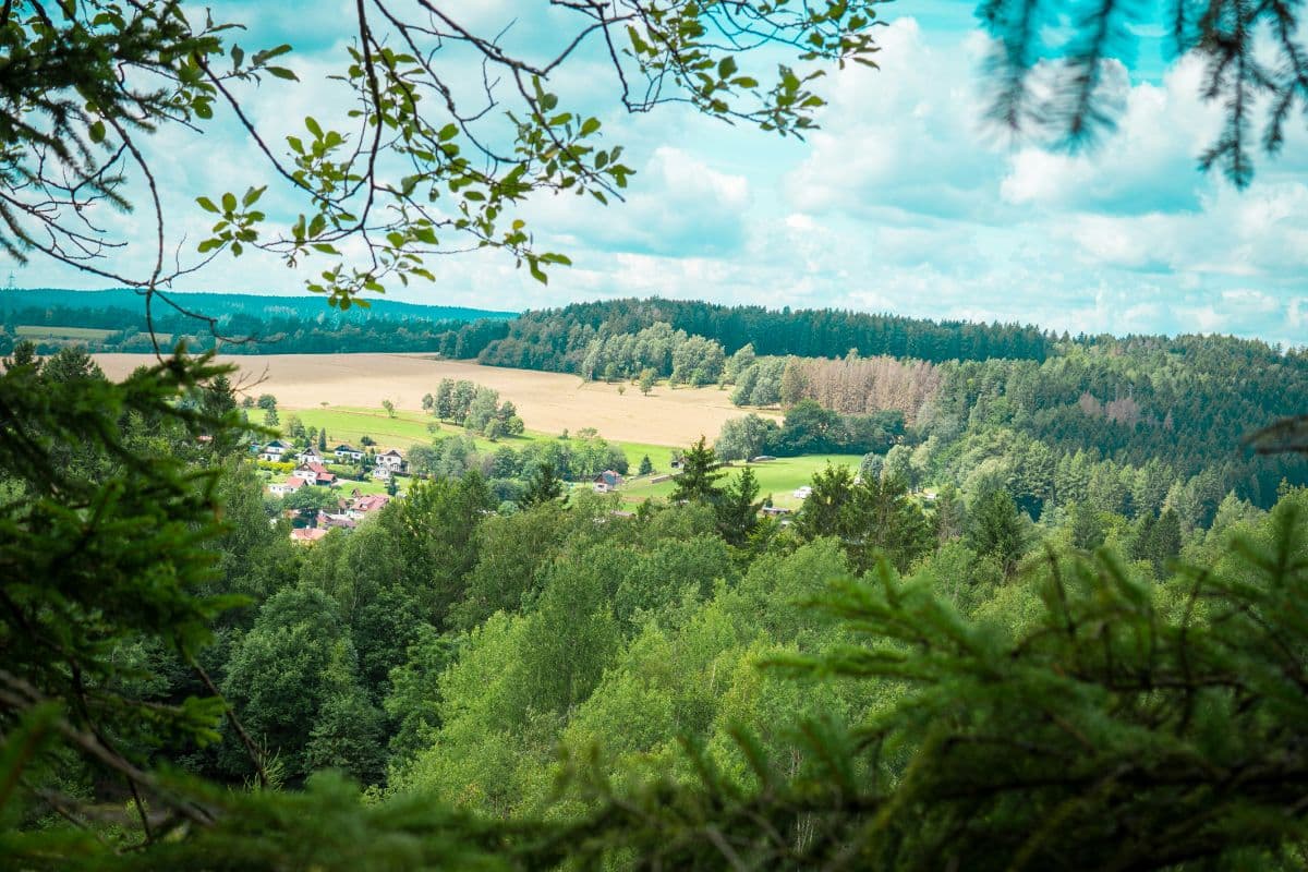
The trail is old as an institution. It ran along the border between Thuringian and Franconian lands, patrolled and maintained for centuries, and its name comes from the messengers who ran it, the Rennsteig as the quick road. You still walk through that history: thirteen Dreiherrensteine where three territories met, close to 800 border stones, and the iron Grenzadler eagle above Oberhof where the imperial boundary crossed the ridge. The walks between are pure Central German upland: blocky forest ridges, mountain meadows, lookout towers, and the Großer Inselsberg rising free at 916 metres, the trail's second-highest point, before the route passes the roof of the whole range, the 982-metre Großer Beerberg. In the east the forest turns slate: the Schiefergebirge carries the trail past the great open quarry of Lehesten, where slate was cut for five hundred years, and finally drops to the Saale at Blankenstein, where finishers throw the pebble they picked up from the Werra into the river.
It is a trail that knows it is walked. The huts and pensions on the ridge have hosted hikers for generations, the Rennsteigmuseum at Neustadt am Rennsteig is dedicated to the trail itself, and in Oberhof, Germany's cross-country skiing town, you walk past ski jumps that are national landmarks. Seven Etappen (stages) of 17 to 30 kilometres make the classic week: no alpine technique anywhere on the route, but the distances are honest and the climbing adds up to well over 6,000 metres across the week.
Practical. Waymarking with the white R is excellent from start to finish. The surface is mostly forest track and path, never alpine; sure-footedness on wet roots is enough. Stages run 17 to 30 km, so plan daily distances honestly; Neustadt am Rennsteig and Oberhof are the classic overnight stops with the widest choice. Getting there: Hörschel, the trailhead, sits just outside Eisenach, which the ICE between Frankfurt and Erfurt serves about hourly (two hours from Frankfurt). Frankfurt is the practical gateway: direct ICE trains from Frankfurt Hbf or Frankfurt Airport put you in Eisenach in two hours, and a regional bus or short taxi covers the last kilometres to Hörschel. Season May to October; in high summer book ridge beds ahead, because the classic hiker stops fill early.
Stages
Planning a multi-day hike often takes more time than expected. Which route matches your experience level? Where will you stay overnight? Are the accommodations available? We have done the preparation for you. With carefully curated routes, accommodations and highlights, you can easily plan your next adventure.
Hörschel - Ascherbrück
The first day earns the ritual: pick your pebble from the Werra at Hörschel, look up, and start climbing. The trail wastes no time, winding up through the Hörsel valley with the Wartburg appearing between the trees at the Wartburgblick viewpoints. On the Großer Eichelberg the forest opens for the first wide look back towards Eisenach, and at the Vachaer Stein an obelisk marks a pass that was old when Napoleon used it. By late afternoon the ridge softens into the wide meadows of Ascherbrück, a lone bridge, a Gasthaus, and your first day of white R behind you.
Ascherbrück - Ebertswiese
The longest climb of the week is saved for early: the trail pushes up to the Großer Inselsberg, 916 metres of free-standing mountain and the Rennsteig's second-highest point, with a panorama that makes you forget the kilometres. Below lies Ruhla, the little watchmaking town, and the path rolls through hunter's country past the Dreiherrenstein am Glasbach, where three princedoms once touched. The final kilometres descend into the mountain meadows of Ebertswiese, a green bowl where the cows still graze between the huts, and the day ends with boots off in the grass.
Ebertswiese - Oberhof (Grenzadler)
A gentler day, and a varied one. The trail skirts the Spitterfall, Thuringia's highest waterfall, before climbing quietly through spruce to the Krämerod, where a lookout tower rewards the detour with views over endless treetops. Then the landscape starts to change: ski trails and winter sport infrastructure appear, and Oberhof announces itself, Germany's cross-country capital. The stage ends at the Grenzadler, the iron imperial eagle that watched this boundary for centuries, with the town's restaurants a short walk downhill.
Oberhof (Grenzadler) - Neustadt am Rennsteig
The big one: the day the Rennsteig walks over the roof of the Thüringer Wald. Past the Rennsteiggarten's mountain plants, the trail traces the high crest along the Großer Beerberg, 982 metres the highest peak of the range, with the Schneekopf and its tower just off the path. The moor at the Beerberg's foot feels older than the forest around it. After the quiet Bahnhof Rennsteig the Großer Dreiherrenstein at 838 metres keeps the border-stone theme going until Neustadt am Rennsteig gathers its pensions right on the ridge.
Neustadt am Rennsteig - Neuhaus am Rennweg
The quiet kilometres. East of Neustadt the crowds thin and the trail runs through long lonely forest towards Masserberg, where the Rennsteigwarte tower looks over the Schwarza valley. At Goldisthal the mountain hides a giant: one of Europe's largest pumped-storage plants, buried so well you would never know. The ridge broadens, the forest turns to the glass-making region, and Neuhaus am Rennweg rewards the day with a real town, a Thüringian bratwurst and the Museum für Glaskunst.
Neuhaus am Rennweg - Steinbach am Wald
The shortest stage, and one with a mood shift. The trail leaves the glass town through quiet spruce, passes Ernstthal am Rennsteig, and climbs gently to the Kalte Küche, a bare saddle where the wind tells you the Frankenwald is coming. Then the border: the trail crosses from Thuringia into Bavaria, a state line drawn on the ridge, and the character of the forest changes with it. Steinbach am Wald keeps its hotel and guesthouses close to where the white R crosses, with the first true Franconian dinner of the week.
Steinbach am Wald - Blankenstein
The last day walks through history of a different kind: for decades this was the inner-German border zone, and the trail follows old patrol roads along a corridor where the forest grew wild between the fences. Then it relaxes: the Kulmberg at 726 metres, high moorland light, and the long descent towards the Saale. At Blankenstein the Selbitz bridge ends the trail, the Rennsteig-Brunnen waits for your pebble from the Werra, and the river takes it with the sound of a week of walking finished.
FAQ
Below you'll find answers to some frequently asked questions.
Ready to Explore Rennsteig?
Start planning your adventure today!
Open this trip in the free Vandra mobile app and copy it to your own account, so you can edit it and plan freely, exactly the way you want.
More trips nearby
Discover other curated multi-day hikes nearby, handpicked by our community.
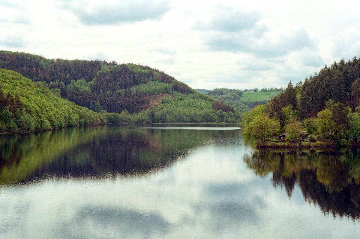
 National Park Eifel · Germany
Wildnis Trail Eifel
Four days through the Eifel National Park: beech forests, open high plains, and the lakes along the Rur. Quiet paths, red deer calling in autumn, and the deserted village of Wollseifen.
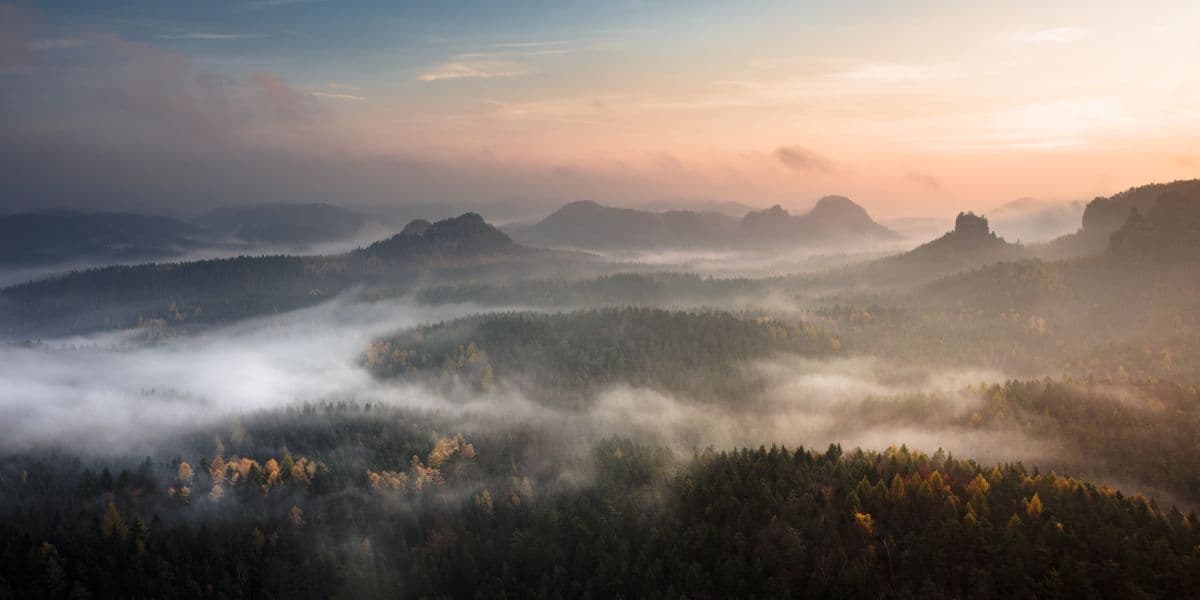 Saxon Switzerland · Germany
Malerweg
Eight stages on the painters' route through Saxon Switzerland: a figure of eight around the Elbe, over sandstone towers, dizzying ridge paths and stone steps, from Liebethal to Pirna.
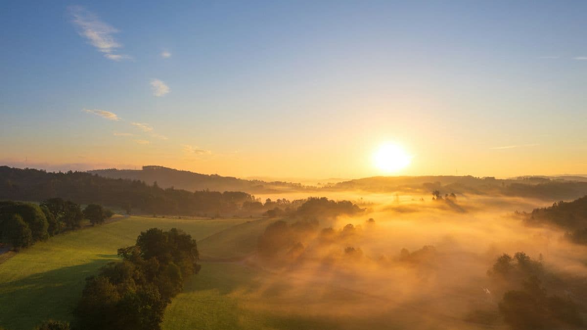 Sauerland · Germany
Rothaarsteig
Eight days on the ridge of the Rothaargebirge, "the way of the senses": sandstone towers, high heath, three river sources and the roof of North Rhine-Westphalia.