


About This Trip
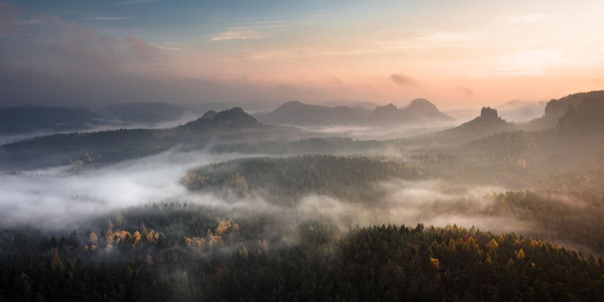
Over eight stages, the trail winds through one of Europe's most dramatic natural landscapes, sheer rock faces hundreds of metres high, narrow gorges carved by millennia of water, and vast plateaus with views across the treetops to the Elbe river below.
Along the way, the trail crosses the Bastei Bridge suspended between rock formations, scramble up the Schrammsteine ridge just as the morning light hits the sandstone walls, and descend into cool, moss-covered gorges where ferns cling to the cliffs. The path climbs narrow stone staircases cut directly into the rock, walk along exposed ridges with nothing but forest canopy beneath you, and cross streams tumbling through peaceful valleys.
The terrain shifts constantly. From soft forest paths through beech and pine to steep standstone staircases and exposed catwalks bolted into cliff faces. You'll need sturdy boots and a steady head for the heights, but every effort pays off with another view across this ancient landscape. Late spring fills the valleys with green, while autumn sets the forests ablaze. The sandstone glows warm ochre in the afternoon light, and the silence on the ridges is broken only by the wind and circling buzzards.
The trail covers 117 kilometres with about 2,500 metres of climbing in total, spread over eight stages of 11 to 19 kilometres. The trail is well connected: every stage ends at a village with accommodation, and a dense network of S-Bahn trains, the Kirnitzschtal tram, buses and Elbe ferries lets you shorten or skip stages without losing the storyline. Hikers frequently call the Malerweg the most beautiful hiking trail in Germany; the name comes from the Romantic painters who found their subject matter here in the 19th century.
Practical
When to go
The best time to hike the Malerweg is April to October. May and September are ideal: long days, green or golden forest, and quieter paths than in midsummer. The Bastei is busiest between 10:00 and 16:00; start stage 2 early and you will have it almost to yourself.
Getting there
Train to Pirna or Dresden; the Dresden S-Bahn runs directly to Pirna. Coming by car, park in Pirna or Dresden and bridge the stages with the dense network of trains, the Kirnitzschtal tram, buses and the Elbe ferries.
Shortening or extending
Every stage ends at a station, bus stop or ferry, so days can be shortened or combined. A common 7-stage variant starts in Bad Schandau. Add a night or two in Dresden before or after the hike.
Difficulty
11 to 19 kilometres per day with 100 to 475 metres of climbing, on good paths with occasional ladders and exposed rocky sections. Nothing technically hard, but you need a head for heights on the Schrammsteine.
Accommodation
Guesthouses and hotels sit at the end of nearly every stage: Stadt Wehlen, Hohnstein, Altendorf, the Kirnitzschtal, Schmilka, Kurort Gohrisch and Pirna. Book well ahead for summer weekends.
Why Malerweg?
Spectacular Sandstone Landscapes
Walk through one of Europe's most distinctive natural landscapes, where towering sandstone cliffs, deep gorges and dramatic viewpoints create ever-changing scenery.
The Famous Bastei Bridge
Cross one of Germany's most iconic landmarks and enjoy breathtaking views over the Elbe Valley from the trail's most celebrated viewpoint.
Wild and Varied Scenery
From deep forested gorges and rocky plateaus to open river panoramas and secluded valleys, each stage offers a different side of Saxon Switzerland.
Following in the Footsteps of Romantic Painters
The trail connects the landscapes that inspired generations of artists, giving the Malerweg a unique cultural and historical character beyond its natural beauty.
Stages
Planning a multi-day hike often takes more time than expected. Which route matches your experience level? Where will you stay overnight? Are the accommodations available? We have done the preparation for you. With carefully curated routes, accommodations and highlights, you can easily plan your next adventure.
Liebethal - Wehlen
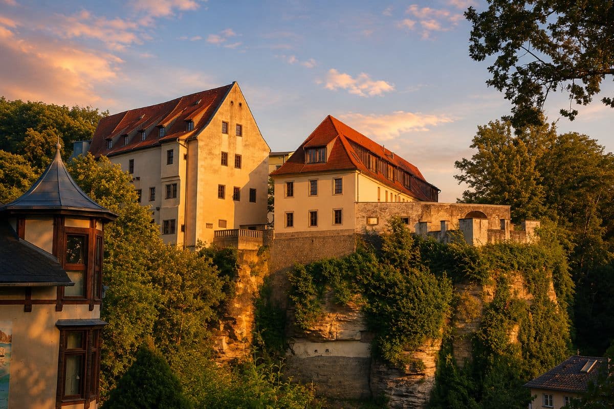
The trail begins in the quiet district of Liebethal on the outskirts of Pirna and leads you gently uphill through mixed forest. Almost immediately you encounter the first sandstone formations rising from the earth like ancient sentinels. The path winds past the Liebethaler Grund, a narrow gorge carved by the Wesenitz river, where mossy boulders and trickling waterfalls set the tone for the days ahead. As you emerge from the trees, the Elbe valley opens up below and the distinctive table mountain of the Lilienstein appears on the horizon. The day ends in the charming wine village of Stadt Wehlen, where half-timbered houses line cobblestone streets.
Stadt Wehlen - Hohnstein
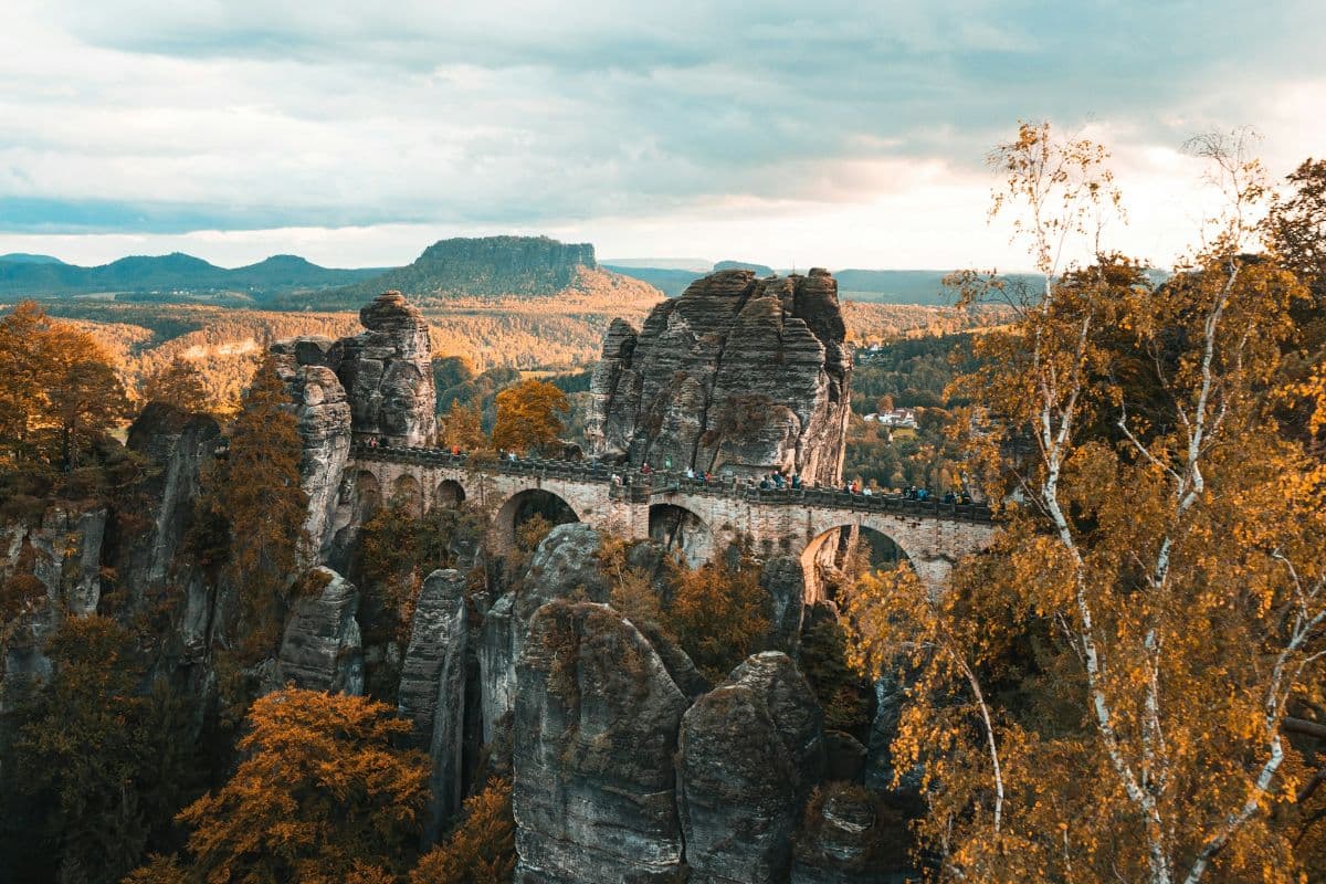
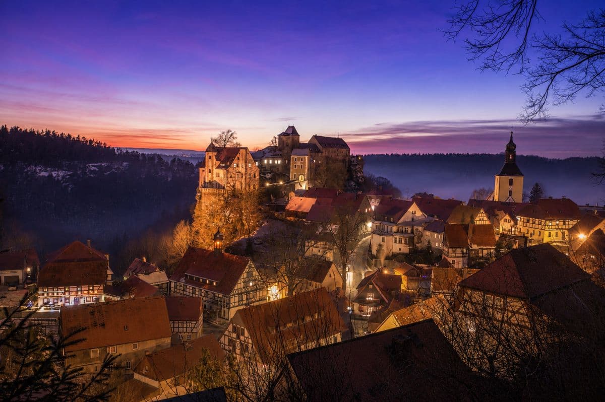
This is the stage that introduces you to the drama of Saxon Switzerland. You climb steeply out of Stadt Wehlen and soon find yourself on the Neurathen Rock Castle, the region's largest medieval rock fortress, before crossing the iconic Bastei Bridge. The bridge arches 194 metres, suspended between towering sandstone needles, a moment that will stop you in your tracks regardless of how many photos you've seen. Be warned: the Bastei area attracts huge crowds of day tourists, so start this stage very early to experience it in near solitude before the buses arrive. From here you traverse the Amselsee, a tranquil lake cradled between sheer rock faces, and continue through the Polenztal valley with its babbling brook and shaded trail. The day finishes in Hohnstein, where a fairy-tale castle overlooks the town.
Hohnstein - Altendorf
A shorter but scenically rich stage that rewards you with some of the quietest, most beautiful forest sections of the entire trail. You leave Hohnstein and pass the Hockstein, a massive sandstone plateau with sweeping views across the Polenztal valley. The trail then leads you through the secluded Brand gorge, a cool, narrow crevice where the walls press in close and sunlight filters through the canopy far above. Wooden footbridges and stepped paths guide you through this cathedral-like space. Emerging into open woodland, you follow gentle trails across heathland to the small settlement of Altendorf, where traditional farmsteads offer a glimpse of rural life in the region.
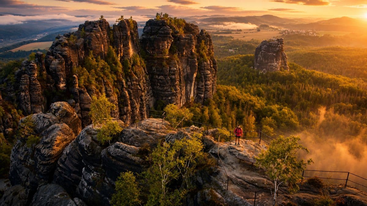
Altendorf - Neumannmühle
A varied stage through the forests and valleys of Saxon Switzerland. The trail climbs to Waitzdorfer Höhe for wide views over the surrounding landscape before descending into the Kirnitzschtal valley. You then cross the Schrammsteine ridge, a rocky section with ladders, exposed paths, and views over the Elbe valley. The route continues past Lichtenhain Waterfall and follows the historic tramline before ending at Neumannmühle, a former mill in the valley.
Neumannmühle - Schmilka
Leaving Neumannmühle behind, the trail climbs through dense forest towards the Großer Winterberg, one of the highest points of the entire region. The ascent weaves through beech and pine, the air growing cooler as you gain elevation. From the summit area, the terrain opens up onto a broad plateau with sweeping views across the treetops toward the Elbe valley and the Czech border. The trail then descends steadily through the Großer Zschand, a wild and secluded valley where sandstone walls rise on either side and the path follows a peaceful forest stream. The day ends in Schmilka, a historic customs village perched on the banks of the Elbe at the border with the Czech Republic — a fittingly dramatic gateway between two countries.
Schmilka - Kurort Gohrisch
This stage sits firmly in the shadow of the Schrammsteine, traversing the high plateau east of the ridge. You begin by climbing through dense forest to the Kleiner Winterberg and then the Zschirnsteinen, a pair of imposing sandstone tables with flat summits that offer breathtaking 360-degree views. The trail then undulates across open heathland and through beech forests, passing the Wolfsberg and its lesser-known viewpoints. The relative solitude of this section is a welcome contrast to the busier western stages. You descend into the spa town of Kurort Gohrisch, known for its clean air and therapeutic springs, nestled beneath the Gohrischstein massif.
Kurort Gohrisch - Weißig
A long stage that marks a transition from the dramatic sandstone landscapes of the Elbe Sandstone Mountains to quieter wooded hills and open countryside. The day begins with a climb to the Pfaffenstein, a table mountain offering sweeping views across the Czech borderlands and surrounding peaks. From here, the trail continues through forests and rolling terrain, passing the ruins of Thürmsdorf Castle. The route then crosses the wooded ridge of the Unger before gradually opening into agricultural landscapes around Weißig. After several days of dense forests, towering rock formations, and deep valleys, this final stretch offers a calmer perspective on Saxon Switzerland. Weißig provides a peaceful end to one of the longest stages of the trail.
Weißig - Pirna
The final stage brings a change of pace as the trail descends from the sandstone heights back towards civilisation. You leave Weißig and follow gentle paths through meadows and open woodland, the Elbe valley widening before you as Pirna comes into view. The trail reaches the Elbe Cycle Path, which you follow along the river's edge. This last stretch offers a chance to reflect on the journey as you walk alongside the river that has accompanied you — sometimes visible, sometimes hidden — throughout the entire trail. You arrive in the beautifully preserved old town of Pirna, where Renaissance architecture, café terraces and the restored market square provide a gentle transition back to everyday life.
FAQ
Below you'll find answers to some frequently asked questions.
Ready to Explore Malerweg?
Start planning your adventure today!
Open this trip in the free Vandra mobile app and copy it to your own account, so you can edit it and plan freely, exactly the way you want.
More trips nearby
Discover other curated multi-day hikes nearby, handpicked by our community.
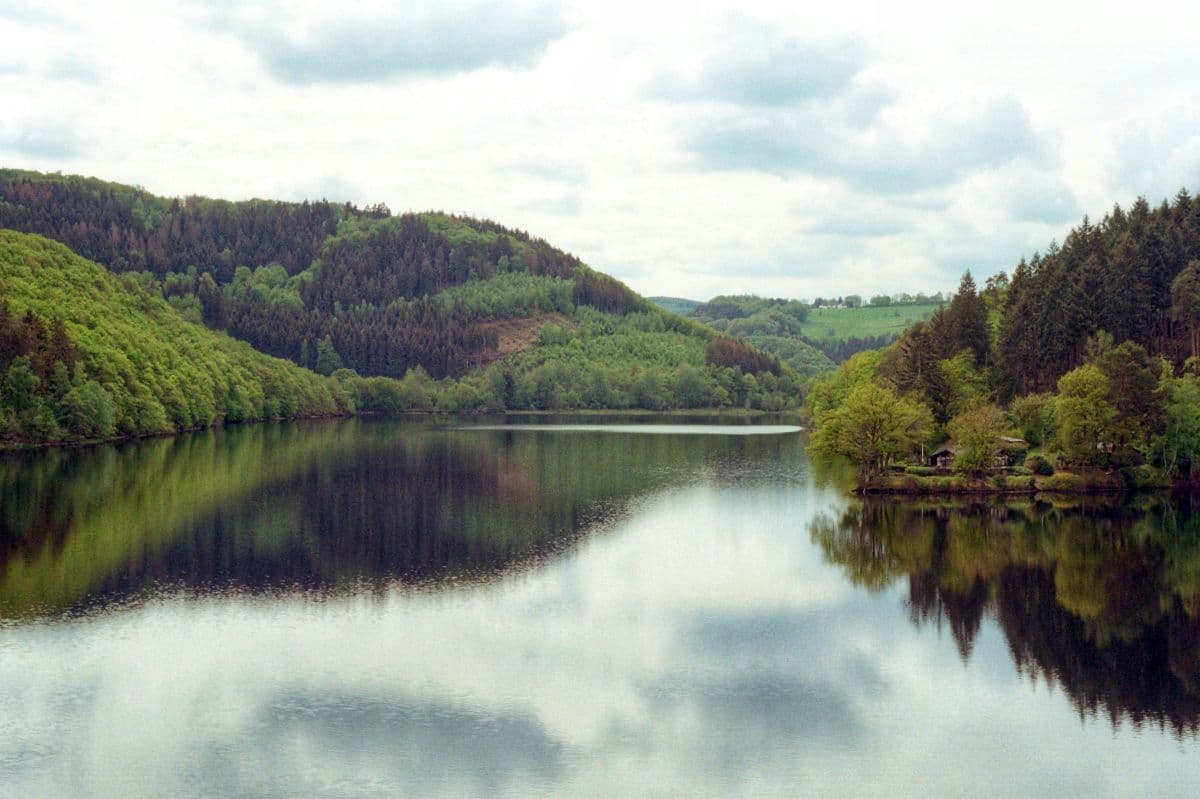
 National Park Eifel · Germany
Wildnis Trail Eifel
Four days through the Eifel National Park: beech forests, open high plains, and the lakes along the Rur. Quiet paths, red deer calling in autumn, and the deserted village of Wollseifen.
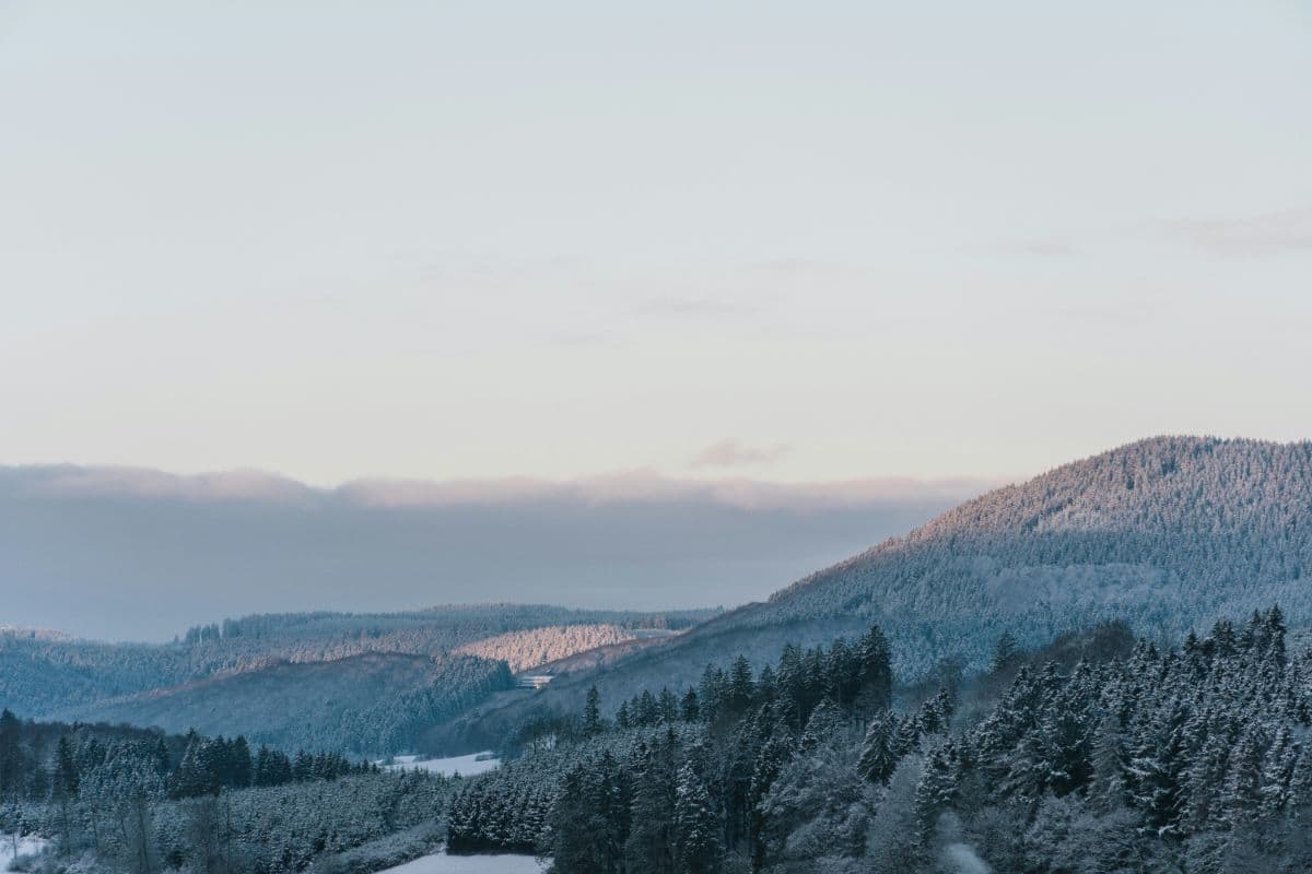 Sauerland · Germany
Diemelsteig
A 63 km quality trail loop around the Diemelsee: lake views, an abbey, a visitor mine and quiet high forest.
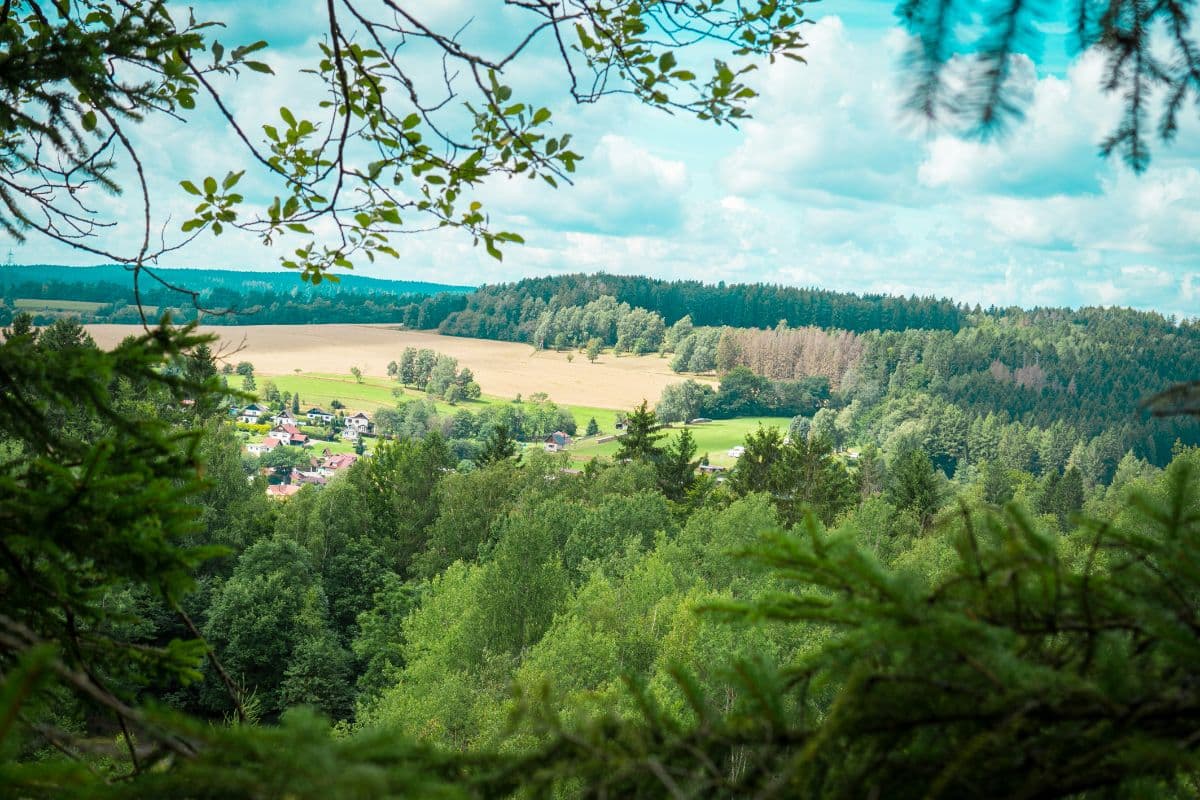 Thüringer Wald · Germany
Rennsteig
Seven days on the ridge of the Thuringian Forest: 169 km of white-R waymarks, 800 border stones and the oldest long-distance trail of Germany.