
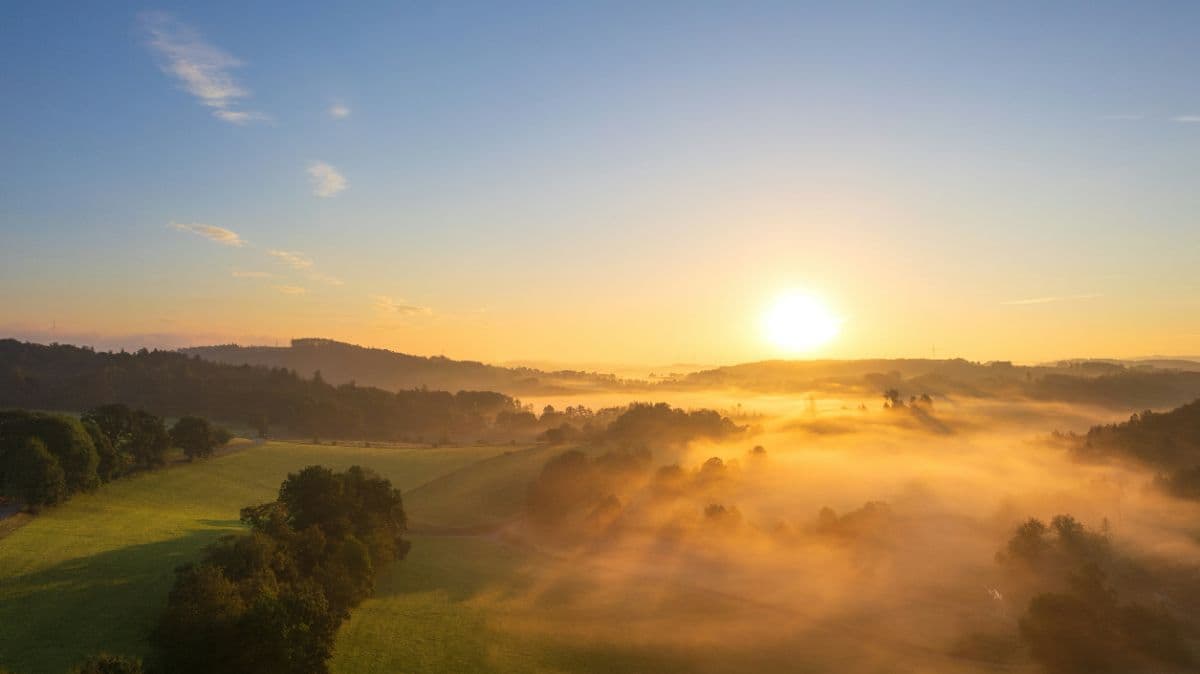


About This Trip
In the late 1990s, hiking in Germany had a reputation problem: it was something your parents did. The answer was built here, on the ridge of the Rothaargebirge. The Rothaarsteig opened in 2001 as the country's first premium trail, with a radical idea at its heart: a long-distance path should be designed for experience, not just marked. They called it "Weg der Sinne", the way of the senses. 25 years later, it is still the benchmark.
The concept works in your legs and your head at the same time. 154 kilometres along the main ridge of the Rothaargebirge through the Sauerland, from the half-timbered Hanseatic town of Brilon to Dillenburg, the town of the House of Orange, mostly high between 600 and 843 metres. The waymarking is so dense, over 11,000 signs, that navigation simply disappears as a task. Roughly 300 forest sofas, loungers, hammocks and swings are placed exactly where a break starts to sound good, furniture designed for this trail and since copied across Europe. Your attention is left to the things that matter: resin smell in the sun, moss underfoot, and the long views over the green roof of Germany's mid-mountains.
The landscape never settles for long. The Bruchhauser Steine are four volcanic towers, up to 92 metres tall, thrown up by an undersea eruption 385 million years ago and now a National Natural Monument where peregrines nest; one of them, the Feldstein, can be climbed via carved steps. Then the Langenberg, the highest point of North Rhine-Westphalia. The open heath of the Niedersfelder Hochheide, purple in late summer. The bare, weather-station summit of the Kahler Asten above Winterberg. The swaying suspension bridge on the WaldSkulpturenWeg, where art and forest share the ridge. The Rhein-Weser-Turm, standing on the European watershed where rain decides between Rhine, Weser and Elbe. And finally the quiet spring region where the Eder, Sieg and Lahn all begin within a few kilometres of each other, before the last ridge walk down to Dillenburg with its Wilhelmsturm.
Practical. This is an endurance trail, not a technical one: around 3,200 metres of climbing spread over eight stages of 14 to 29 kilometres, mostly soft forest floors, paths and ridgelines. The official eight-stage split (eight Etappen, as the Germans say) is the classic one-week version; the association also publishes a sporty six-day split with 25-29 kilometre days. Best window is May to October, with the heather bloom and the clearest long views in late summer. Waymarking is a red "R" with continuous kilometre markers, effectively impossible to lose. Brilon and Dillenburg have railway stations; Willingen and Winterberg are a train ride plus a short bus hop. Accommodation is plentiful in the big stage towns (Brilon, Willingen, Winterberg) and thin but characterful at the remote ones, like the guest rooms at the Rhein-Weser-Turm itself or the Forsthaus at the Lahn spring, so book the remote nights first. Completing the whole route earns you the association's Wanderpass certificate and pin.
Stages
Planning a multi-day hike often takes more time than expected. Which route matches your experience level? Where will you stay overnight? Are the accommodations available? We have done the preparation for you. With carefully curated routes, accommodations and highlights, you can easily plan your next adventure.
Brilon - Willingen
The toughest day comes first, and it opens like a statement. Out of Brilon, the woody town that calls itself the forest capital of Germany, the trail climbs the Borberg with its first wide views, finds the Möhne spring on the Poppenberg and walks the Bürgerwald, replanted tree by tree after hurricane Kyrill flattened it. Then the Ginsterköpfe, a steep, airy stretch of rock and broom with the Bruchhauser Steine in sight: four volcanic towers floating above the forest, growing bigger with every step. Past the Feuereiche artwork the trail reaches their feet, crosses the Richtplatz where medieval courts once sat, and drops via the yellow access path into Willingen.
Willingen - Winterberg
The roof of North Rhine-Westphalia, and then the sky opens up. From the Richtplatz the trail crosses the Langenberg, at 843 metres the highest point of the whole state, and walks straight into the open Niedersfelder Hochheide: kilometres of rolling heath where the wind is the only sound and the bloom turns purple in late summer. Past the source of the Ruhr, the unassuming stream that gave the Ruhrgebiet its name, the route follows the medieval Heidenstraße into Winterberg, the ski town in the valley whose church tower suddenly feels like a big city after days of forest.
Winterberg - Schanze
A day of two famous faces. The trail points straight at the St. Georg ski jump, Winterberg's winter cathedral, then climbs through forest and heath to the Kahler Asten, the best-known mountain of the Rothaarsteig: bare, wind-combed and offering a full 360-degree view that weather nerds love, the summit station measuring the Sauerland's rain for the whole country. Down through the hamlets of Lenneplätze and Langewiese, and behind the Heidenstock the route leaves the ridge for the valley variant into Schanze, at the foot of the slopes.
Schanze - Rhein-Weser-Turm
The day of the two variants, and both are worth the detour. The Kamm route swings onto the WaldSkulpturenWeg, where large artworks stand in the trees and a swaying suspension bridge crosses a forest gully; the Tal route descends through the gorge-like Grubental to Latrop, quiet and green. They rejoin at the Millionenbank and climb over the Heidkopf to Jagdhaus, then follow the open ridge to the Rhein-Weser-Turm, where you can sleep at the foot of the tower and stand with one foot in the Rhine basin and one in the Weser.
Rhein-Weser-Turm - Ginsberger Heide
A short, open day with one big theme: water. Right after the tower the trail drops into the Schwarzbachtal, a wide, quiet valley where the stream still winds naturally through alder and meadow, rare plants hold the banks and the only schedule is the river's. The path follows the water for kilometres before climbing gently out to the Ginsberger Heide, a high plateau with heath views, a hotel terrace and the evening sun to yourself.
Ginsberger Heide - Lahnquelle
The source day, and it feels like collecting rivers. First the Ginsburg tower above Hilchenbach, then the Giller plateau with its observation tower, and then the spring country: moorland along the young Eder, the old Kohlenstraße trade road to Benfe, and the neatly framed Siegquelle. Three kilometres more and the Lahn source appears with its stone fountain, the day's endpoint at the Forsthaus, where game dishes and quiet rooms wait. Three rivers started here today, and you drank from their beginnings.
Lahnquelle - Wilgersdorf
A quiet forest day along the water stories. Past a small forest cemetery the trail reaches the Ilsequelle, a healing spring known since the Middle Ages, then climbs the Jagdberg. The Haincher Höhe follows the historic Eisenstraße, the old iron trade road whose medieval stone paving still surfaces in places, and after the Dill spring the trail arrives at the Nase-im-Wind platform, a dramatic viewpoint literally facing into the wind, before dropping into Wilgersdorf for the night.
Wilgersdorf - Dillenburg
The finale starts with the Wilgersdorfer Haubergspfad, an open-air lesson in the traditional coppice forest management that shaped these woods for centuries. The trail splits into a Westerwald and a Dill variant; the Dill route passes the Lucaseiche, an oak with a 3.85 metre trunk, and the Forsthaus Steinbach before descending to the Dill valley. One last climb to the Westerwaldblick, over the Galgenberg, and the Bismarcktempel appears above Dillenburg: from there the trail drops through the old town to the finish portal at the Hofgarten, with the Wilhelmsturm, tower of the House of Orange, watching over the end of the week.
FAQ
Below you'll find answers to some frequently asked questions.
Ready to Explore Rothaarsteig?
Start planning your adventure today!
Open this trip in the free Vandra mobile app and copy it to your own account, so you can edit it and plan freely, exactly the way you want.
More trips nearby
Discover other curated multi-day hikes nearby, handpicked by our community.
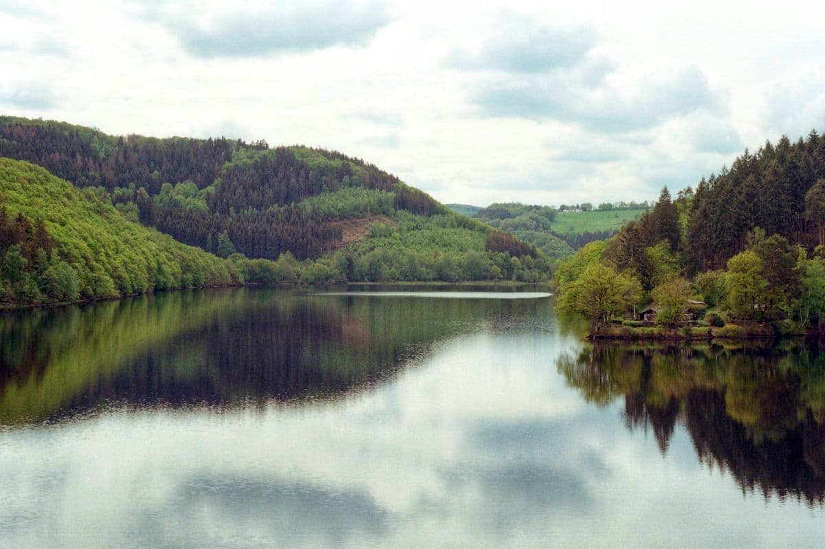
 National Park Eifel · Germany
Wildnis Trail Eifel
Four days through the Eifel National Park: beech forests, open high plains, and the lakes along the Rur. Quiet paths, red deer calling in autumn, and the deserted village of Wollseifen.
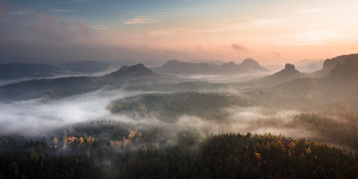 Saxon Switzerland · Germany
Malerweg
Eight stages on the painters' route through Saxon Switzerland: a figure of eight around the Elbe, over sandstone towers, dizzying ridge paths and stone steps, from Liebethal to Pirna.
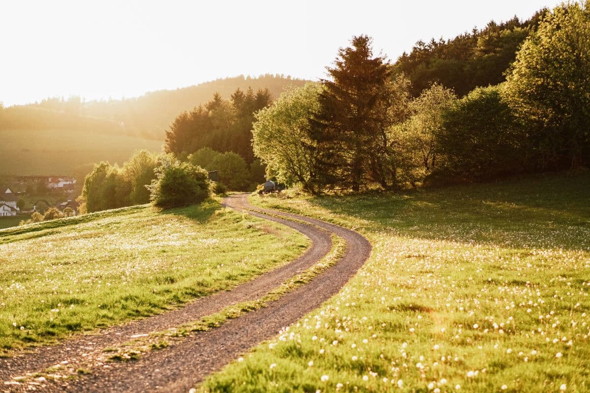 Sauerland · Germany
Uplandsteig
A 66 km quality trail loop around Willingen over the highest heaths of Europe and the top of North Rhine-Westphalia.