
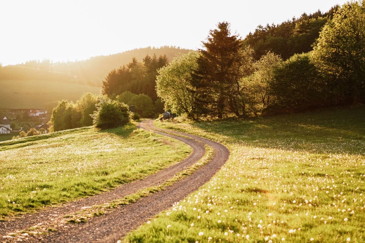


About This Trip
The Uplandsteig is a certified quality trail ("Qualitätsweg Wanderbares Deutschland") that loops once around Willingen (Upland), the only Hessian slice of the Sauerland, and touches all nine villages of the community. In about 66 kilometres it climbs roughly 1,500 metres, with the toughest ascent right at the start: the first 15 kilometres alone take 450 metres out of the total. Marked throughout with a white U on black and a kilometre marking on posts and map, it is easy to follow from start to finish.
The character of the landscape changes constantly. Beech and spruce forest alternate with open field flurrs, moorland, stream valleys and the famous Hochheiden, high heathlands that are among the highest of their kind in Europe and turn violet in August. The route collects the summits of the Dommel (738 m) with its observation tower, the Clemensberg (836 m) and the Langenberg (843 m), the highest mountain of North Rhine-Westphalia. It passes the sources of both the Diemel and the Hoppecke, and quiet historic sites like the early-medieval Schwalenburg rampart, the Niegelscheid viewpoint over the Diemelsee, and the Richtplatz, a medieval court place on the old Kurköln-Waldeck border ridge.
Stages. Fit hikers walk the loop in three days of about 22 kilometres. The classic four-day split runs Willingen - Rattlar (11 km), Rattlar - Eimelrod (12 km), Eimelrod - Usseln (19 km, the long heath day, with a gentler valley variant) and Usseln - Willingen (24 km, the high-ridge finale). Stage 3 over the Kahle Pön is the scenic highlight; stage 4 holds the summits.
Practical. Willingen is reached by train via the Uplandbahn from Korbach; the trail starts at the visitor centre near the station. The best window is May to October, with the heather bloom in August and September as the scenic peak. Accommodation is plentiful in every stage-end village: hotels, guesthouses and pensions in Willingen, Rattlar, Eimelrod and Usseln, plus two trekking campsites (Schwalenburg and near the Diemelquelle) for tent hikers. Willingen doubles as a Kneipp health resort, so wellness options are not in short supply after the last kilometre. Book ahead for weekends and the heather season.
Stages
Planning a multi-day hike often takes more time than expected. Which route matches your experience level? Where will you stay overnight? Are the accommodations available? We have done the preparation for you. With carefully curated routes, accommodations and highlights, you can easily plan your next adventure.
Willingen - Rattlar
The trail opens with the hardest climbing of the whole trip: from the visitor centre in Willingen the path gains height quickly through beech woods, with the first far views over the Upland from the Haselnussweg. After the Itter valley it climbs to the Schwalenburg, one of the largest early-medieval ramparts on the Hessian-Westphalian border, where a wooden viewing tower stands above the overgrown walls. From there the route follows the wooded south flank of the Hoehekopf down to Rattlar, a quiet scattered village on the upper Diemel.
Rattlar - Eimelrod
A shorter, rolling stage with two fine lookouts. Above Rattlar the trail climbs to the Dommel, whose observation tower opens a panorama over the Naturpark Diemelsee to the east and the Hochsauerland summits to the west. The path then shares its course with the Diemelsteig down to Hemmighausen in the Diemel valley, where the Niegelscheid viewpoint gives another look at the lake before the trail bends south to Eimelrod, a quiet farming village below the open upland pastures.
Eimelrod - Usseln
The longest day, but the one with the most character. Through Neerdar with its 13th-century staffed church and along the Bömighäuser pond the trail follows the Neerdar valley, then climbs steadily onto the open ridge past the Spitzbubenbusch. The reward is the Kahle Pön, an immense upland heath unique in Europe, purple in late summer. Below the summit the route drops to the source of the Diemel and ends in Usseln, the second-largest village of the community, known for its quirky museums.
Usseln - Willingen
The high ridges day. From Usseln the trail heads south through the Stryck forest to the Hillekopf, where it joins the Rothaarsteig, and then runs for kilometres along the state border through the Alter Hagen heath, over the Clemensberg and past the Hoppecke source. A short climb brings the Langenberg, at 843 m the highest point of North Rhine-Westphalia. Beyond the historic Richtplatz court site the route drops back into the Willingen ski slopes and finishes at the visitor centre, where the Ettelsberg cable car and the Hochheideturm are close by.
FAQ
Below you'll find answers to some frequently asked questions.
Ready to Explore Uplandsteig?
Start planning your adventure today!
Open this trip in the free Vandra mobile app and copy it to your own account, so you can edit it and plan freely, exactly the way you want.
More trips nearby
Discover other curated multi-day hikes nearby, handpicked by our community.
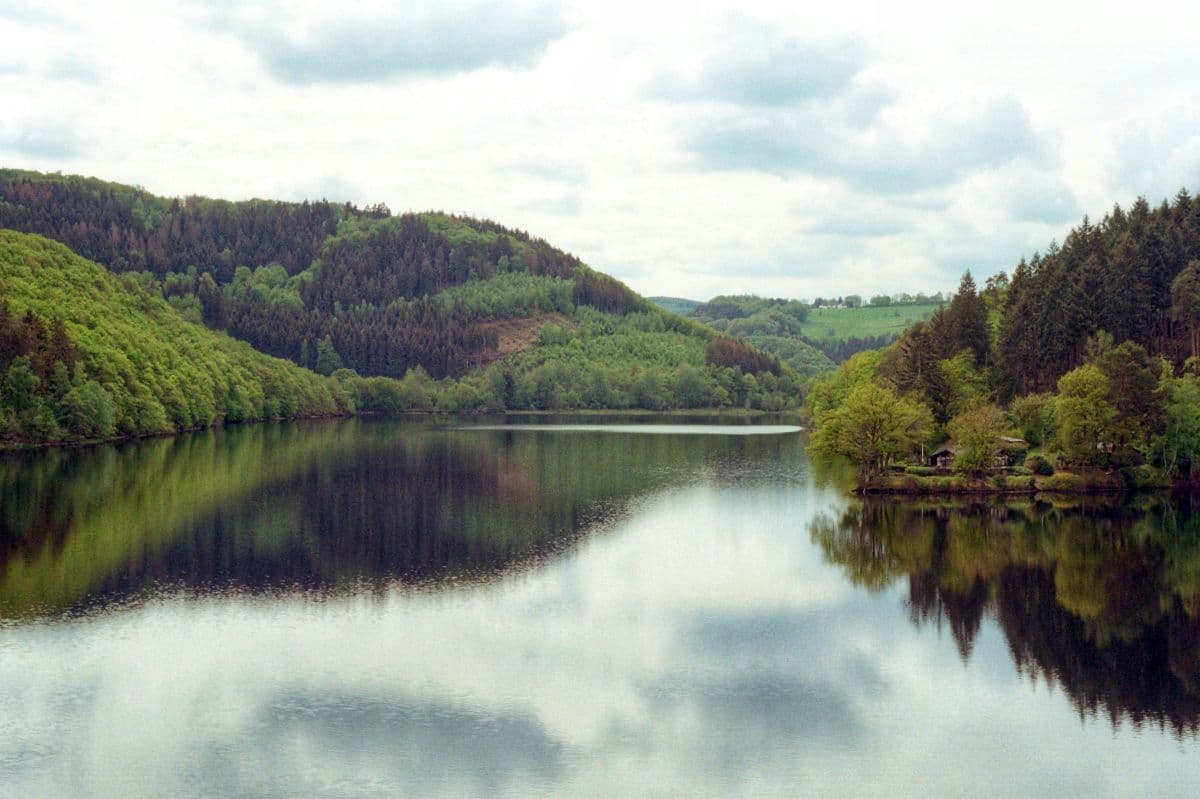
 National Park Eifel · Germany
Wildnis Trail Eifel
Four days through the Eifel National Park: beech forests, open high plains, and the lakes along the Rur. Quiet paths, red deer calling in autumn, and the deserted village of Wollseifen.
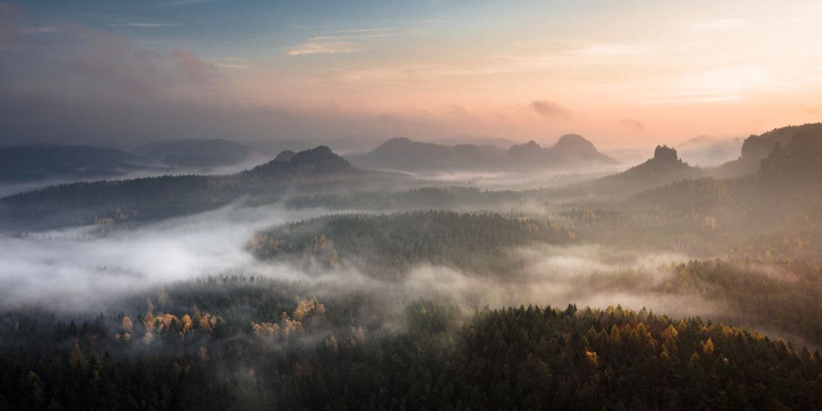 Saxon Switzerland · Germany
Malerweg
Eight stages on the painters' route through Saxon Switzerland: a figure of eight around the Elbe, over sandstone towers, dizzying ridge paths and stone steps, from Liebethal to Pirna.
 Sauerland · Germany
Rothaarsteig
Eight days on the ridge of the Rothaargebirge, "the way of the senses": sandstone towers, high heath, three river sources and the roof of North Rhine-Westphalia.