


About This Trip
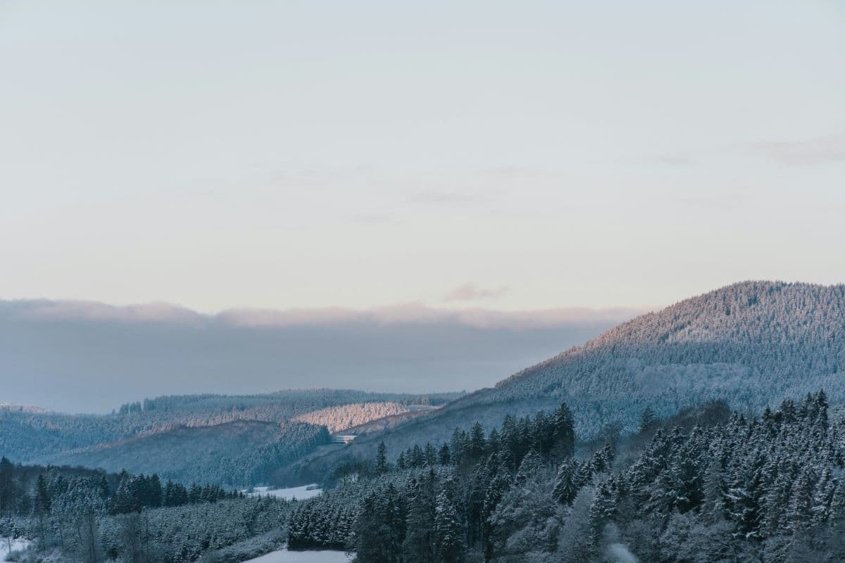
The Diemelsteig is a certified quality trail ("Qualitätsweg Wanderbares Deutschland") that loops once around the Diemelsee holiday region in the Hessian part of the Sauerland. Start and finish are at the tourist information in Heringhausen, though every village along the route makes a valid entry point. In about 63 kilometres the trail climbs some 1,400 metres through a classic mid-mountain landscape: beech and spruce forest, open field flurrs, stream valleys and the lake itself, which is never far from view.
The stages tell one story after another. Stage one climbs straight from the shore to the St. Muffert cliff, the trail's secret highlight, with a panorama over both ends of the lake, then drops past the Martenberg cliff and the visitor mine Grube Christiane into Adorf. Stage two crosses the quiet high forest around the Rhene spring and reaches Flechtdorf with its Benedictine abbey and double-tower basilica before ending in Schweinsbühl. Stage three follows the Diemel through Deisfeld and Hemmighausen, joins the Uplandsteig for the climb to the Niegelscheid viewpoint and the Dommelturm detour, then descends to the impressive dam wall of the Diemelsee. The optional fourth stage is a short, rewarding loop over the Eisenberg summit back to Heringhausen, leaving the afternoon free for the lake.
Stages. The official split runs Heringhausen - Adorf (11.7 km), Adorf - Schweinsbühl (21.5 km), Schweinsbühl - Staumauer (23.1 km) and Staumauer - Heringhausen (5.7 km). Three days work too by ending day two at the Ottlar/Dommelhöfe area, but then the middle day becomes the longest of the trip.
Practical. Waymarking is excellent: a white D on green plus continuous kilometre markers on posts and map. Trailheads are reachable by car and local bus; the nearest railway stations are Marsberg and Willingen. Beds exist at every stage end: the region runs its own trekking campsite network (book via trekkingpark.de), alongside hotels, pensions and the abbey guesthouse in Flechtdorf. The main season is May to October. The lake adds swimming, boat trips and the Visionarium exhibition for rest days or wet afternoons.
Stages
Planning a multi-day hike often takes more time than expected. Which route matches your experience level? Where will you stay overnight? Are the accommodations available? We have done the preparation for you. With carefully curated routes, accommodations and highlights, you can easily plan your next adventure.
Heringhausen - Adorf
The trail starts at the tourist information in Heringhausen, and the lake comes along from the first minute: the access path follows the promenade with views over the water. Then comes the climb to the St. Muffert cliff, the secret highlight, with a panorama over both ends of the Diemelsee. Past historic boundary stones the route crosses the Eisenberg forest, opens up over meadows to the Frauenrad viewpoint above Adorf, and drops through the Rhene valley past the old mine workings into Adorf, the largest village of the region.
Adorf - Schweinsbühl
The longest day starts gently out of Adorf, climbing meadows and fields to the Lenkenberg and along the Stunzenberg ridge into the high forest. The abbey village of Flechtdorf with its double-tower basilica is the mid-stage highlight, and the abbey café a natural lunch stop. Beyond it the trail runs an almost level high-forest route at 600 m to the Rhene spring with its rest shelter, then crosses the Winterscheid heights and descends through the Hamesbeutel valley to Schweinsbühl, a tiny village with a big heart.
Schweinsbühl - Staumauer
A quiet stage with the lake as the final destination. Through the forest to the Hamesbeutel and along the birdlife trail the path descends to Deisfeld, then follows the Diemel past the Speier mill to Hemmighausen, where the Diemelsteig meets the Uplandsteig. The shared climb over the Niegelscheid ridge brings the first great lake view, and a short detour reaches the Dommelturm with its 360-degree panorama. From the Dommelhöfe the trail runs alone again, through forest above the Itter arm of the lake, down to the shore and over the impressive dam wall to the finish at the Staumauer.
Staumauer - Heringhausen
The short finale: from the dam the trail climbs 250 metres through beech forest to the top of the Eisenberg, the highest mountain of Marsberg, with viewpoints over the lake and the hessian Upland. Past historic boundary stones the path turns back down to the Florenbicke car park and the promenade of Heringhausen, where the lake promenade, the Visionarium exhibition and a terrace by the water make the finish feel like a small reward.
FAQ
Below you'll find answers to some frequently asked questions.
Ready to Explore Diemelsteig?
Start planning your adventure today!
Open this trip in the free Vandra mobile app and copy it to your own account, so you can edit it and plan freely, exactly the way you want.
More trips nearby
Discover other curated multi-day hikes nearby, handpicked by our community.
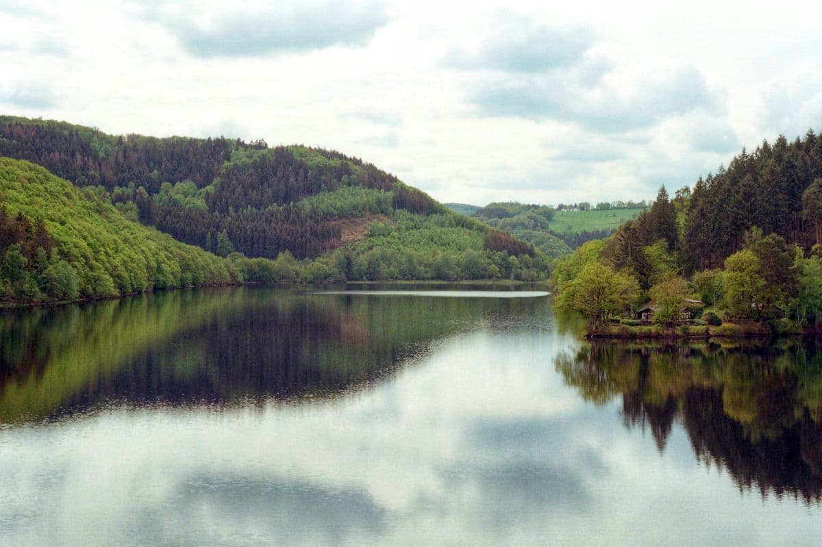
 National Park Eifel · Germany
Wildnis Trail Eifel
Four days through the Eifel National Park: beech forests, open high plains, and the lakes along the Rur. Quiet paths, red deer calling in autumn, and the deserted village of Wollseifen.
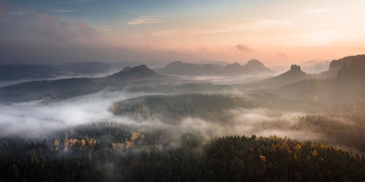 Saxon Switzerland · Germany
Malerweg
Eight stages on the painters' route through Saxon Switzerland: a figure of eight around the Elbe, over sandstone towers, dizzying ridge paths and stone steps, from Liebethal to Pirna.
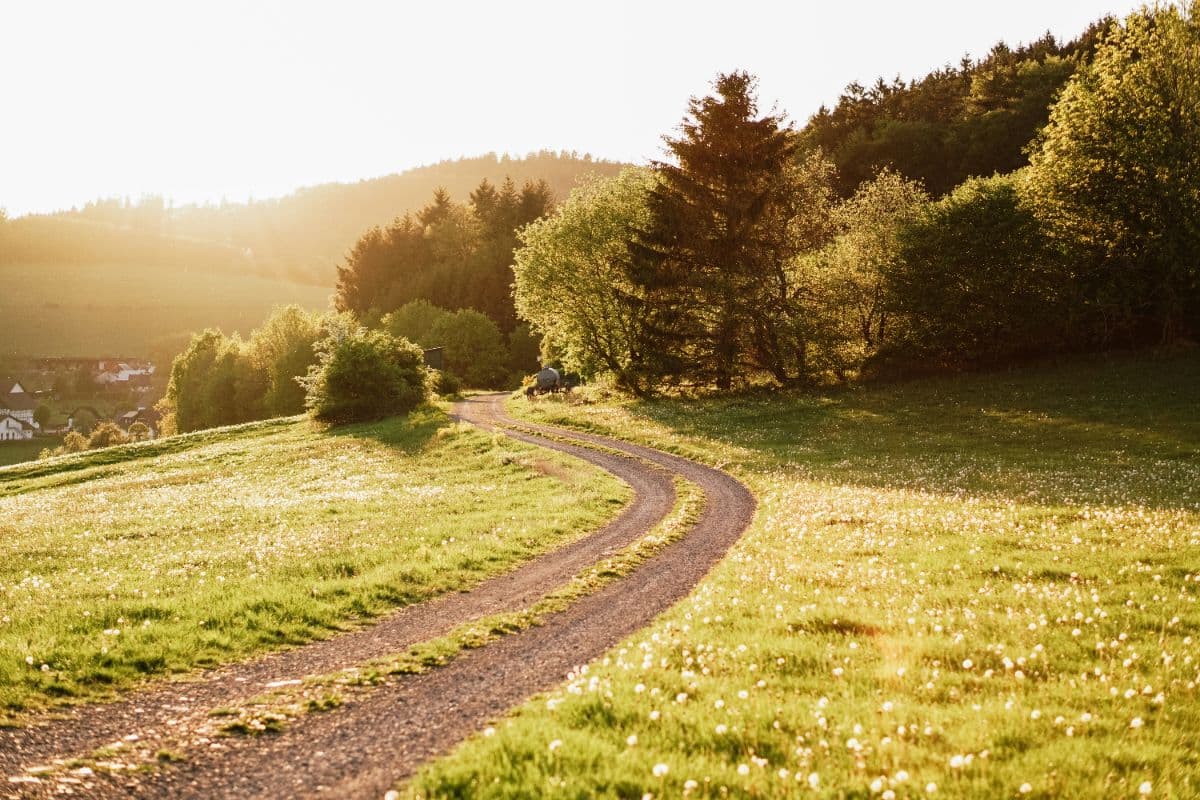 Sauerland · Germany
Uplandsteig
A 66 km quality trail loop around Willingen over the highest heaths of Europe and the top of North Rhine-Westphalia.