
 Gelderland · Netherlands
Romeinse Limespad Gelderland
Three days along the Roman frontier

About Romeinse Limespad Gelderland
Romeinse Limespad Gelderland is the Gelderland section of the Roman Limes Trail (LAW 16), the long-distance path along the northern border of the Roman Empire. This 50.3-kilometre route runs in three stages from the Westerbouwing near Oosterbeek to Nijmegen.
The first stage drops to the Rhine and runs through the estates and parks on the north side of Arnhem, with beech avenues, spring-fed streams and views over the river. At Meinerswijk the outline of a Roman fort lies in the floodplain. The second stage crosses Park Lingezegen, where the Roman Lint and Roman Circuit run through the landscape, and passes Elst: beneath the Grote Kerk lie the foundations of a Gallo-Roman temple, the largest north of the Alps, with the Tempel-Kerkmuseum beside it. The last stage follows the Waal to the Oversteek and climbs on the far bank to the Valkhof hill, where Noviomagus stood. Het Valkhof and De Bastei tell the city's Roman story.
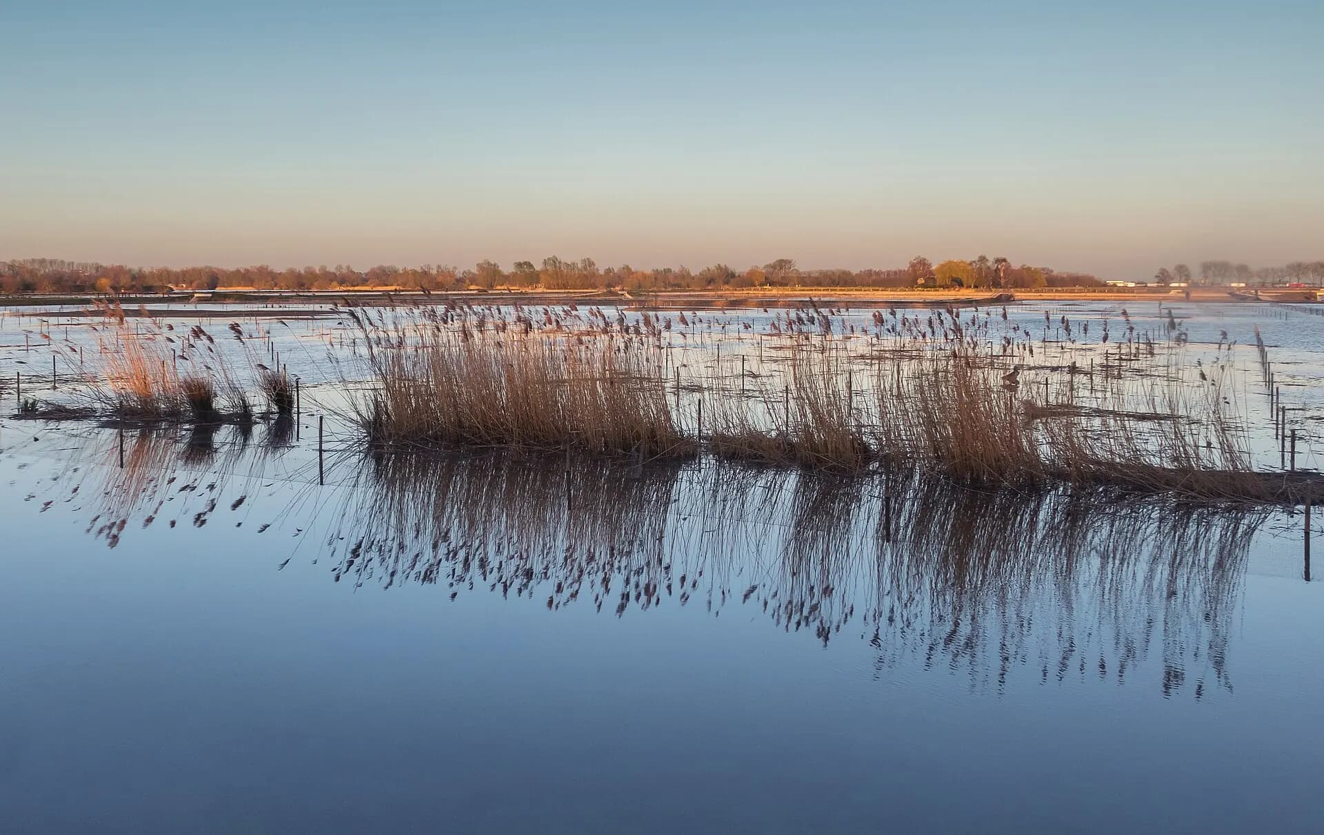
The landscape alternates between river floodplain, estate woodland, park and farmland. Do not expect real climbs: the route is flat, with only the moraine at Arnhem and Nijmegen as an exception.
Practical. The route is marked with white and red stripes. The start at the Westerbouwing has a bus stop (Oosterbeek, Westerbouwing); from Arnhem Centraal you travel via Oosterbeek or by car. Nijmegen Centraal is a kilometre from the finish. the long day has no accommodation in between, so plan it deliberately. Arnhem has plenty of beds; near Bemmelse Zeeg there is a campsite and a B&B two to three kilometres away. April and September are the best months, with blossom in the Betuwe and quiet paths.
Stages Romeinse Limespad Gelderland
The Romeinse Limespad Gelderland is split here into 3 stages of 13 to 22 km, 50 km in total, from Westerbouwing to Nijmegen. The stages below are a sample itinerary: in the planner you put together your own days and choose where you sleep.
Westerbouwing - Arnhem
From the Westerbouwing you drop down to the Rhine and walk through the estates and parks on the north side of Arnhem. Beech avenues, spring-fed streams and manor houses alternate, with views over the river. If you are early, a detour west from the start leads to Doorwerth Castle, a moated castle about half an hour's walk away. Through the centre and past the Eusebius church you reach the south bank at Meinerswijk, where the outline of a Roman fort lies in the floodplain.
Arnhem - Bemmelse Zeeg
The longest day crosses Park Lingezegen, the landscape park between Arnhem and Nijmegen, with the Roman Lint and the Roman Circuit as its threads. At Elst the Grote Kerk stands on the foundations of a Gallo-Roman temple, the largest north of the Alps. Then comes the Betuwe farmland, and the day ends in the floodplain at Bemmelse Zeeg.
Bemmelse Zeeg - Nijmegen
Along the Doornik estate and the Waal you walk to the Oversteek, the 2013 bridge with the memorial to the Allied crossing at Nijmegen. On the far bank you climb to the Valkhof hill, where the Roman city of Noviomagus stood. Het Valkhof and De Bastei tell that story, and the route ends on the Keizer Traianusplein.
FAQ
Below you'll find answers to some frequently asked questions.
Ready to Explore Romeinse Limespad Gelderland?
Start planning your adventure today!
Open this trip in the free Vandra mobile app and copy it to your own account, so you can edit it and plan freely, exactly the way you want.
More trips nearby
 South Limburg · Netherlands
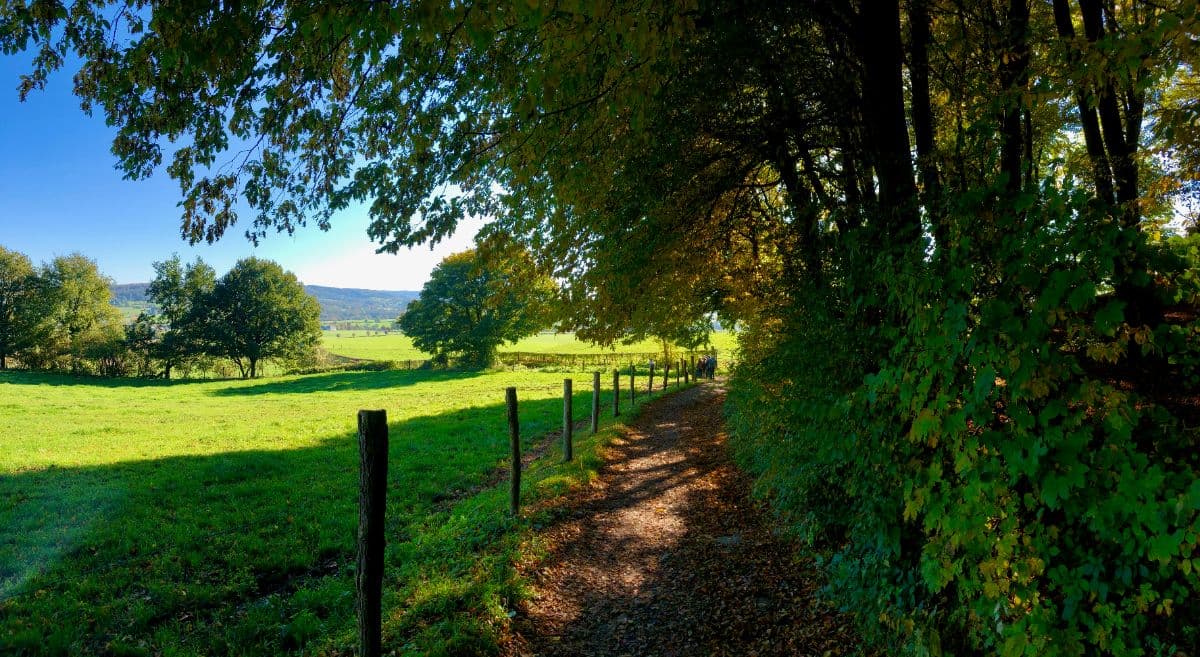
Dutch Mountain Trail
The toughest long-distance walk in the Netherlands: four days across the hills of South Limburg, over the Seven Summits, through three countries, from Eygelshoven station to Maastricht.
 Veluwe · Netherlands
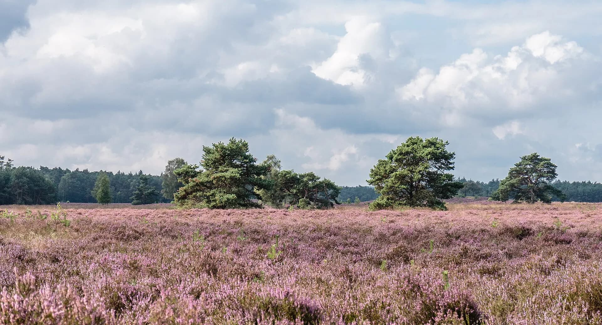
Veluwe Zwerfpad Midden
Two days across the Veluwe from Hoenderloo to Dieren: the Loenermark, drift sand, the sheepfold and the IJssel valley.
 Biesbosch · Netherlands
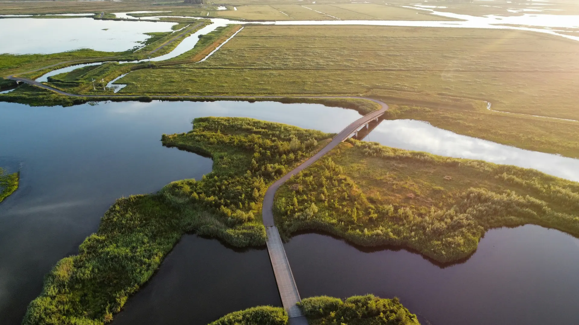
Biesboschpad Zuidrand
Three days on the Biesboschpad from Waalwijk to Werkendam: dikes, floodplains and creeks.