
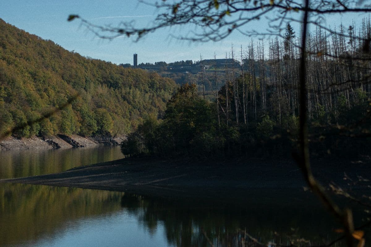
 Eifel · Germany
AhrSteig
From the Ahr source to the Rhine

About AhrSteig
The AhrSteig is a 102-kilometre long-distance hiking trail through the Ahr valley in the Eifel and the northern Rhineland-Palatinate wine country, running from the source of the Ahr in Blankenheim to the river's mouth at the Rhine near Sinzig. The official route is divided into seven stages between 11 and 19 kilometres, with roughly 3,700 metres of ascent and 4,100 metres of descent, and carries the Qualitätsweg Wanderbares Deutschland seal.
The route crosses the Ahr mountains on their wildest side. Stage 3 climbs to the 623 m Aremberg, the highest point of the trail, and threads through the sandstone cliffs around Schuld. Stage 5, the Königsstrecke between Kreuzberg and Walporzheim, runs over near-alpine rock paths past the Teufelsloch viewpoint and the Schrock, with views across the Ahr valley to the Siebengebirge. Castle ruins such as Are and Saffenburg rise above the river, and from Kreuzberg the trail walks through the terraced vineyards of the Ahr wine region.
The landscape changes character completely from one end to the other: high Eifel forest and open moorland plateau around Blankenheim and Aremberg in the west, bare rock ridges in the middle, then manicured vineyards and spa-town promenades around Bad Neuenahr and Sinzig in the east. Observation towers on the Neuenahrer Berg and the Steinthalskopf add wide views over the lower valley.
Practical. The AhrSteig is marked along its full length and every stage begins and ends in a village with rail or bus access, so the route works in both directions and stages can be shortened or combined. The best walking months are May to mid-October; the rock section of stage 5 needs dry weather and sure footing. Accommodation ranges from campsites on the Ahr bank to wine-estate hotels in the villages, with the trail's own Gastgeber network along the route.
Stages AhrSteig
The AhrSteig is split here into 7 stages of 11 to 18 km, 102 km in total, from Blankenheim to Sinzig. The stages below are a sample itinerary: in the planner you put together your own days and choose where you sleep.
Blankenheim - Freilinger See
From the Ahr spring in a half-timbered cellar in Blankenheim, past the Eifel Museum and the swan pond, the trail climbs through beech woods to the open plateau of the Birker Berg. Across the 484 m Bohrsberg the day ends at the shore of the Freilinger See.
Freilinger See - Aremberg
Across meadow paths the route climbs to the Friedenskreuz on the 534 m Hühnerberg, with views reaching the Nürburg and the Ardennes. Through the forest villages of the high Eifel the stage ends at the foot of the castle ruins in Aremberg.
Aremberg - Insul
The longest and most varied stage: steeply up to the 623 m Aremberg, the highest point of the trail, then down into the Ahr valley. Past Schuld the path threads between spectacular sandstone cliffs before descending to Insul in the upper Ahr valley.
Insul - Kreuzberg (Ahr)
Ridges and valleys in turns: via Sierscheid the trail runs over the 429 m Dümpelhardt plateau with wide views over the Ahr mountains, then through the Liersbachtal to the 360-degree panorama of the Linder Höhe. At Kreuzberg the vineyards begin.
Kreuzberg (Ahr) - Walporzheim
The Königsstrecke: a nearly alpine rock path past the Teufelsloch viewpoint, with sure-footed climbing towards the Schrock and wide views to the Siebengebirge. Past the Saffenburg ruin and over the Krausberg the day ends among the vineyards of Walporzheim.
Walporzheim - Bad Neuenahr
Through shady river woods and the vineyards above Ahrweiler, past the Calvarienberg monastery, the Lourdeskapelle and the Karlsberg viewpoint, the stage runs through the Neuenahrer Wald. A marked side path descends to the spa gardens of Bad Neuenahr.
Bad Neuenahr - Sinzig
Up to the observation tower on the Neuenahrer Berg, with views reaching Cologne Cathedral on clear days, then along the Ehlinger Ley and the Feltenturm on the Mühlenberg into Sinzig. A short detour leads to the Ahr mouth nature reserve on the Rhine.
FAQ
Below you'll find answers to some frequently asked questions.
Ready to Explore AhrSteig?
Start planning your adventure today!
Open this trip in the free Vandra mobile app and copy it to your own account, so you can edit it and plan freely, exactly the way you want.
More trips nearby
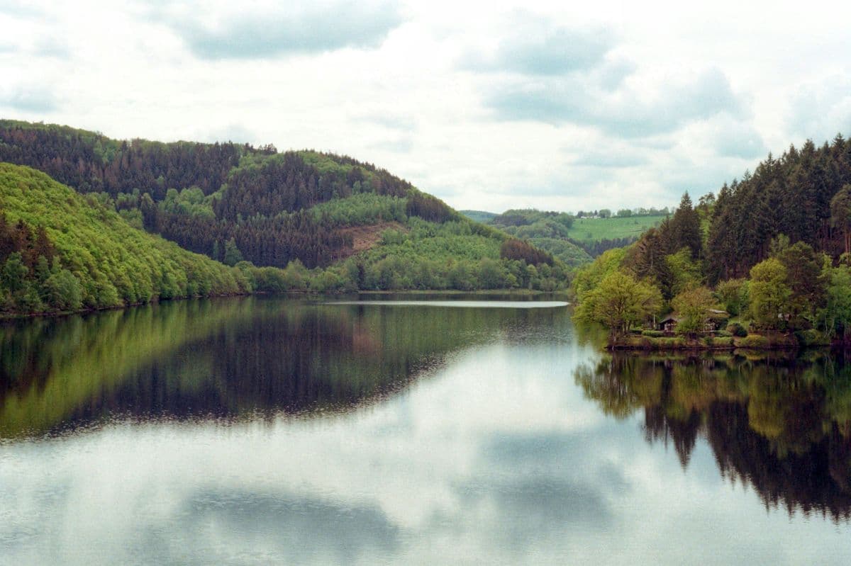 National Park Eifel · Germany
Wildnis Trail Eifel
Four days through the Eifel National Park: beech forests, open high plains and the lakes along the Rur, with the deserted village of Wollseifen.
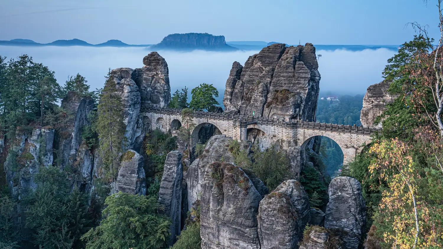 Saxon Switzerland · Germany
Malerweg
Eight stages on the painters' route through Saxon Switzerland: a figure of eight around the Elbe, over sandstone towers, dizzying ridge paths and stone steps, from Liebethal to Pirna.
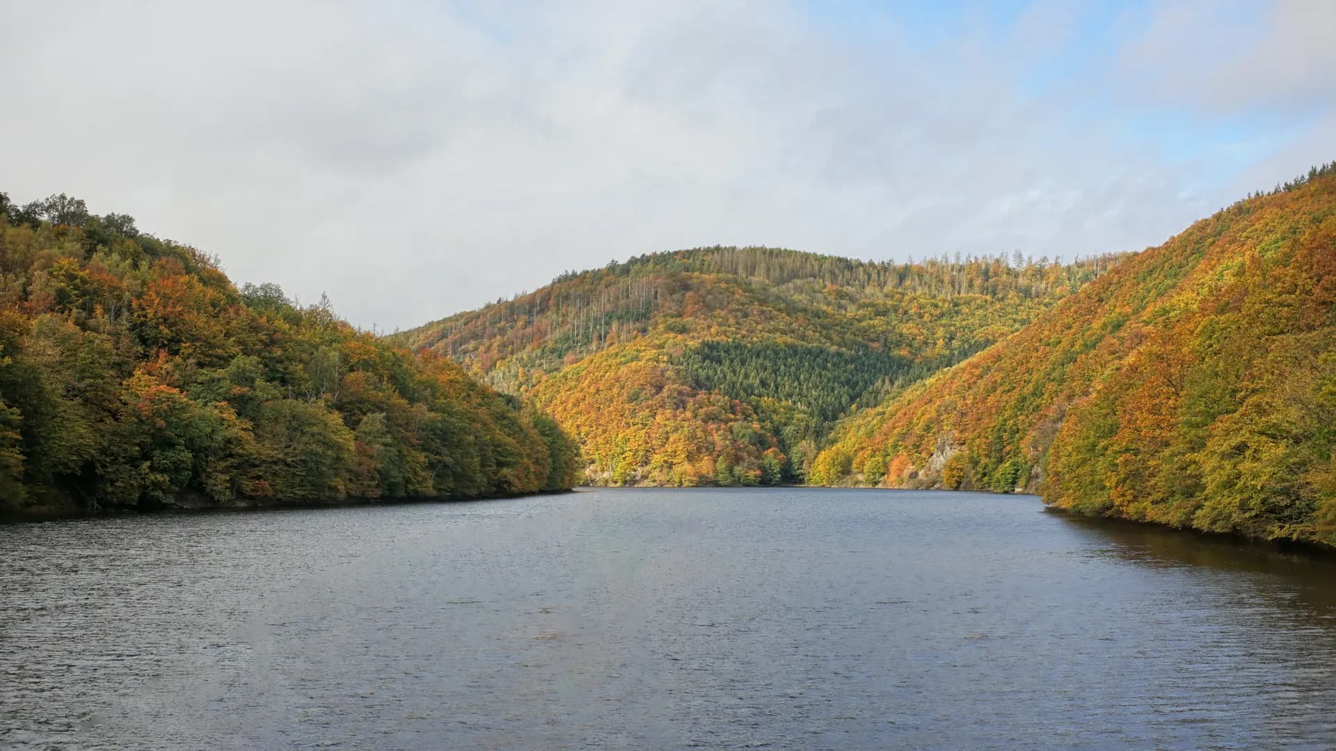 Nordeifel · Germany
Eifelsteig Nordeifel
Three days on the Eifelsteig from Kornelimünster to Einruhr: forest, stream valleys and Monschau.