
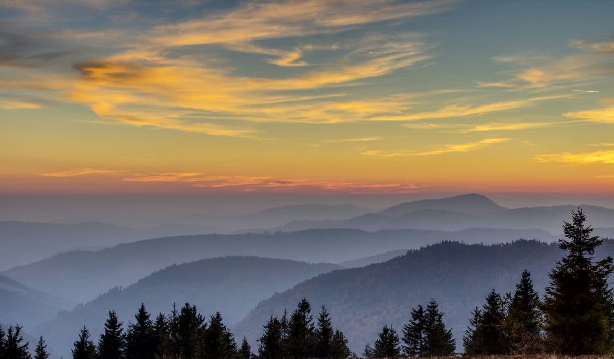
 Südschwarzwald · Germany
Schluchtensteig
Seven gorges in six days

About Schluchtensteig
The Schluchtensteig is a trail of 118 kilometres through the southern Black Forest, from Stühlingen on the Wutach to Wehr on the Rhine, in six stages through the gorges of the Naturpark Südschwarzwald. Opened in 2010, the route runs from Germany's far southwest eastwards along the Wutach, over the plateau of the Hotzenwald and past the Schluchsee and the big gorges of the southern Black Forest, down to the Wutach valley at Wehr.
The heart of the route is the Wutachschlucht, a gorge up to 170 metres deep that the Wutach cut into the sandstone and limestone after the last ice age. The area has been one of the oldest nature reserves in Germany since 1939, and dead wood and fallen trees are deliberately left where they lie. Fixed points along the route are the Wutachflühen, where limestone walls rise up to 85 metres above the path, the Tannegger waterfall, the Rechenfelsen and Höllochfelsen rocks above the Haslach, the dark Windberg gorge and the mossy Hohwehra gorge. The six stages run from Stühlingen via Blumberg, Schattenmühle, Schluchsee and St. Blasien to Todtmoos and Wehr, with the Schluchsee, the largest lake in the Black Forest, ending stage three.
The route totals over 4,000 metres of climbing over six stages of 17 to 22 kilometres. Alpine skills are not needed, but the paths are rocky and often damp, and short passages run along fixed ropes. There is little food service in the gorges, so on the Wutach stages you carry water and food.
Practical. The waymarking is excellent throughout. Accommodation ranges from the nature park's trekking camps (platforms for one night, reserved in advance) to classic Black Forest guesthouses, especially in Blumberg, Schattenmühle, Fischbach, St. Blasien and Todtmoos. Trains and buses make stage-by-stage planning easy: Blumberg and Seebrugg have railway stations. Season: May to October. Book summer nights early and stay out of the gorges in snow or ice.
Stages Schluchtensteig
The Schluchtensteig is split here into 6 stages of 18 to 23 km, 118 km in total, from Stühlingen to Wehr. The stages below are a sample itinerary: in the planner you put together your own days and choose where you sleep.
Stühlingen - Blumberg
The adventure starts quietly: along the rails of the Sauschwänzlebahn museum railway, as if the train itself is showing you the way. Then the valley narrows and the Wutachflühen begin, limestone walls rising 85 metres above the trail, dripping ferns and a light that barely reaches the bottom. Past a tuff cave, the ruins of Blumegg and an old water mill you climb out of the gorge, and the Buchberg rewards you with a first wide look back at the country you just walked through.
Blumberg - Schattenmühle
The gorge day, and the one people remember. Down through the Schleifenbach ravine, then into the Wutach itself: paths pinned against the rock with ropes, the Tannegger waterfall thundering into the valley, and the strange moment when the young river simply seeps into its own gravel bed and walks on without water. The ruins of Neu-Tannegg guard the confluence; a short detour into the wild Lotenbach gorge is worth every step. The day ends deep in the forest at the Schattenmühle, where the inn has been feeding gorge-wanderers for generations.
Schattenmühle - Schluchsee
Out of the gorge and onto the high forest, but not out of drama: the trail passes the legendary Räuberschlössle and the old power station at Stallegg before the rock towers of Rechenfelsen and Höllochfelsen frame the Haslach ravine, one of the quietest corners of the whole trail. Through Lenzkirch and the peat-bog landscape of the Schwendital you reach the broad open water of the Schluchsee, where the first lake-view terraces appear through the trees.
Schluchsee - St. Blasien
A day of big vistas after the tight gorges. Above the largest lake in the Black Forest the trail climbs to the Bildstein, where the whole Schluchsee lies at your feet, and on over the open heights of the Krummenkreuz. Then the forest closes in again and the trail drops into the dark Windberg gorge, cool and mossy even in summer. At the bottom, the day ends with a view few stage finishes can match: the enormous neoclassical dome of St. Blasien abbey towering over the square.
St. Blasien - Todtmoos
The Hotzenwald day: high, open and surprisingly gentle. The trail crosses moorland and high meadows where, on a clear day, the entire snow line of the Alps lines the horizon, a view nobody associates with the Black Forest until they see it. At the old fluorspar mine of Gottesehre you can duck into a visitor adit and learn why this quiet plateau was once dug up for its minerals. The Lehenkopf tower gives the panorama one last turn before the long, easy descent into Todtmoos.
Todtmoos - Wehr
The longest day, and the wildest finale. The Wehra has cut its own quiet gorge below Todtmoos, mossy, shady and all yours, before the trail crosses the Bötzberg and drops into the final act: the Wehraschlucht, where the river falls over rocky steps and rapids towards the Rhine plain. One last viewpoint at the Bärenfels, then the valley opens and the walk ends in Wehr, in the shadow of the old monastery walls. Six days of gorges, and then you are in Wehr.
FAQ
Below you'll find answers to some frequently asked questions.
Ready to Explore Schluchtensteig?
Start planning your adventure today!
Open this trip in the free Vandra mobile app and copy it to your own account, so you can edit it and plan freely, exactly the way you want.
More trips nearby
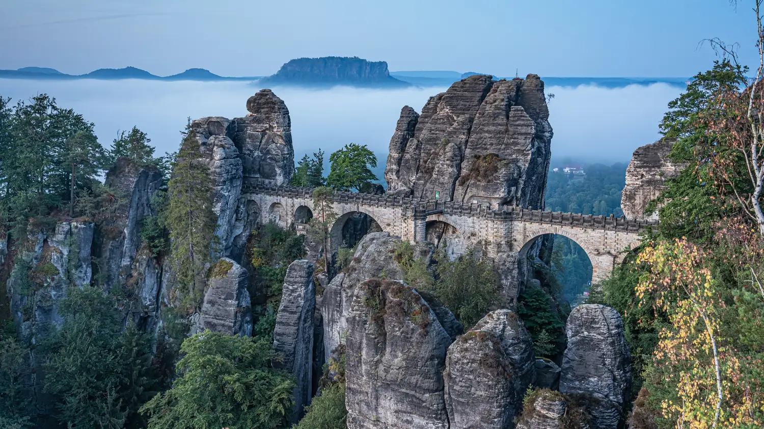 Saxon Switzerland · Germany
Malerweg
Eight stages on the painters' route through Saxon Switzerland: a figure of eight around the Elbe, over sandstone towers, dizzying ridge paths and stone steps, from Liebethal to Pirna.
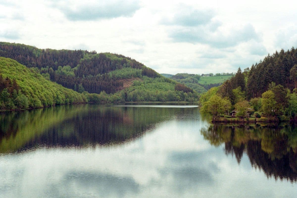 National Park Eifel · Germany
Wildnis Trail Eifel
Four days through the Eifel National Park: beech forests, open high plains and the lakes along the Rur, with the deserted village of Wollseifen.
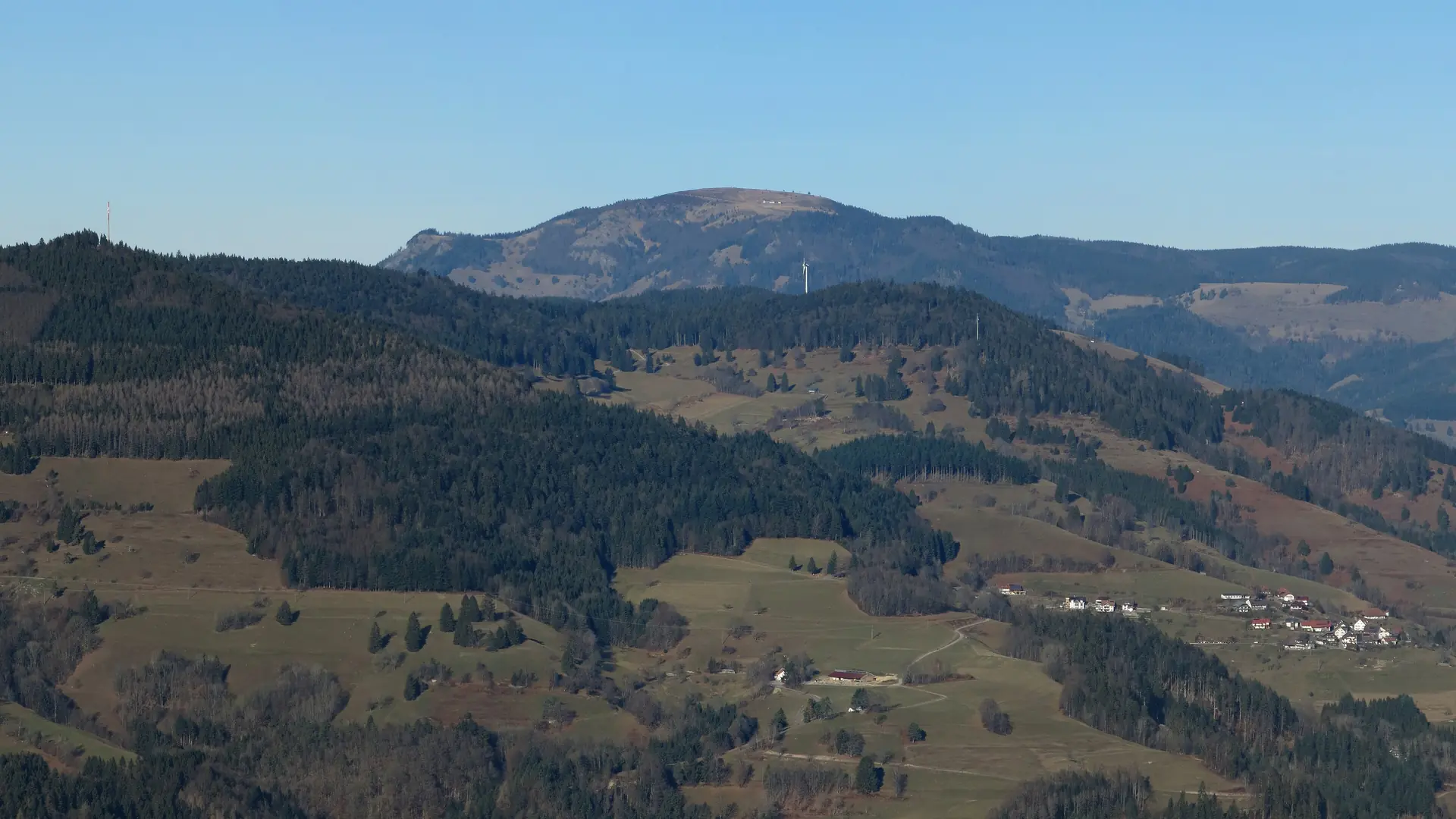 Hochschwarzwald · Germany
Westweg Hochschwarzwald
Three days on the Westweg from Hinterzarten to Kandern: over the Feldberg, the Belchen and the Hochblauen, the highest summits of the Black Forest.