
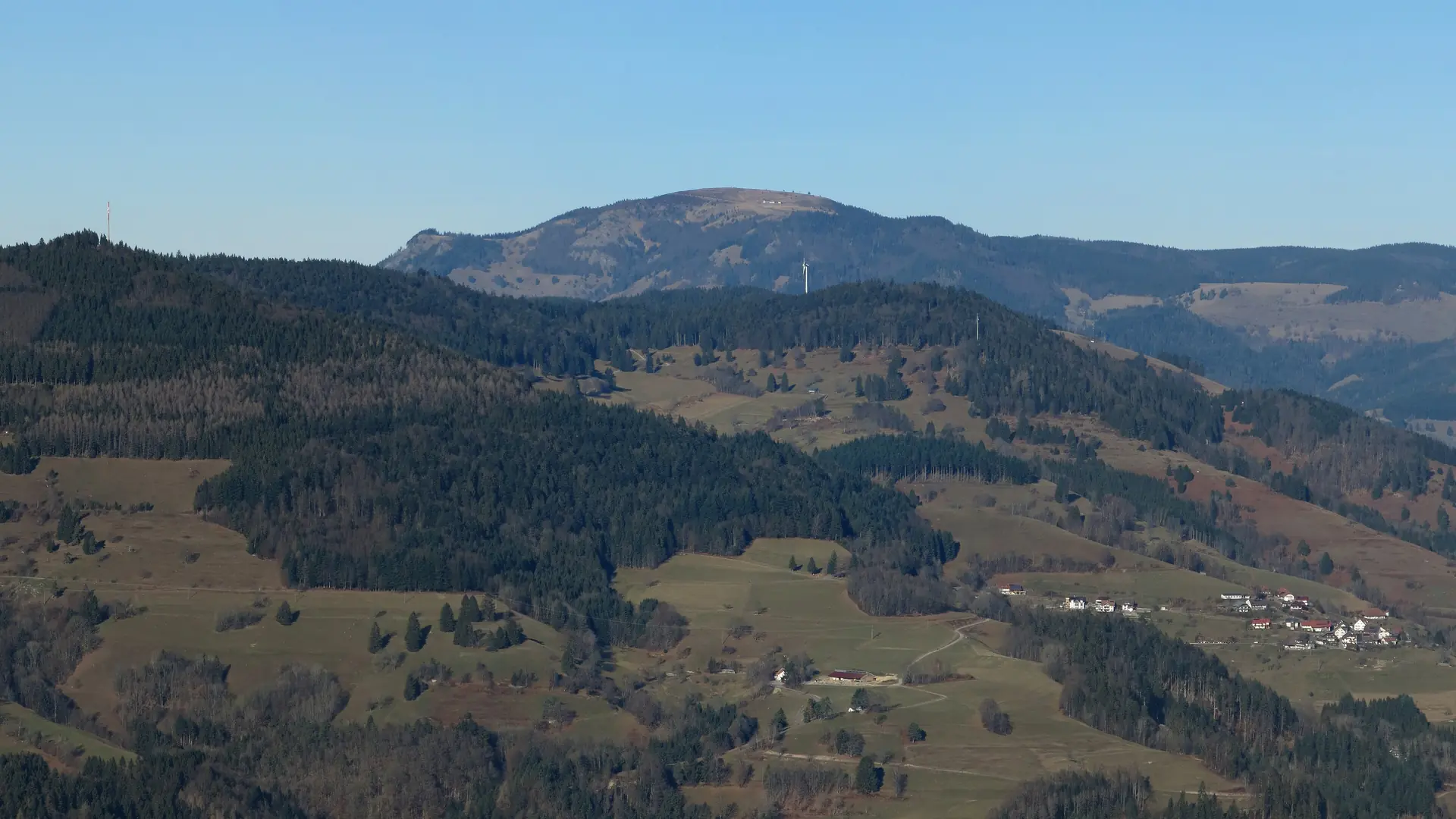
 Hochschwarzwald · Germany
Westweg Hochschwarzwald
Four days over the highest summits

About Westweg Hochschwarzwald
Westweg Hochschwarzwald is the highest part of the Westweg, the 285-kilometre high route from Pforzheim to Basel. The Schwarzwaldverein laid it out in 1900 and marked it with the lying red diamond; this trip follows the southern section on the western variant, from Hinterzarten over the Feldberg, the Belchen and the Hochblauen to Kandern, 59.5 kilometres in four stages.
The first day climbs from Hinterzarten station through the woods to the Rinken and past the Feldsee, the dark cirque lake below the summit, to the Feldberg at 1,493 metres: the highest point of any German Mittelgebirge. The second is a ridge day: over the open crest of the Stübenwasen, with the Feldsee far below on your left, to the Wiedener Eck at 1,035 metres, where the hotel stands right on the pass.
The third day is the finest. Over the Belchen at 1,414 metres, with the Alps, the Vosges and Mont Blanc in one view on a clear day, then through woods and meadows to the Haldenhof, where the stage ends; the beds are a kilometre and a half lower in Neuenweg. The fourth day climbs back to the crest, over the Hochblauen at 1,165 metres with its iron lookout tower, past the ruin of the Sausenburg and through the vineyards of the Markgräflerland to Kandern.
The landscape is high: spruce forest, open mountain meadows with gentian, granite and boulder fields, and in the south the chain of the Alps on the horizon. Above 1,200 metres there is almost always wind, and in June snow can still lie in the north-facing hollows.
Practical. The route is waymarked with the red diamond. Hinterzarten has a station on the Höllentalbahn between Freiburg and Donaueschingen; Kandern has no station, but buses run to Lörrach and Basel. The stages end on the Feldberg, at the Wiedener Eck, at the Haldenhof and in Kandern; you sleep on the pass on the Feldberg and at the Wiedener Eck, and below the Haldenhof in Neuenweg. From June to October the paths are free of snow; the Feldberg can stay white into May.
Stages Westweg Hochschwarzwald
The Westweg Hochschwarzwald is split here into 4 stages of 12 to 20 km, 60 km in total, from Hinterzarten to Kandern. The stages below are a sample itinerary: in the planner you put together your own days and choose where you sleep.
Hinterzarten - Feldberg
From Hinterzarten station the path climbs through the woods to the Rinken and past the Feldsee, the dark cirque lake below the summit. Above the treeline the open ridge leads to the Feldberg at 1,493 metres, the highest point in any German Mittelgebirge.
Feldberg - Wiedener Eck
From the Feldberg the route drops over the open crest of the Stübenwasen, with the Feldsee far below on your left, to the Wiedener Eck at 1,035 metres. The climbing is done early; after that the path runs a long way along the ridge.
Wiedener Eck - Haldenhof
The finest day: over the Belchen at 1,414 metres, with the Alps, the Vosges and Mont Blanc in one view on a clear day, then through woods and meadows to the Haldenhof. The stage ends there; the Sennhütte in Neuenweg lies a kilometre and a half below.
Haldenhof - Kandern
Back up to the crest and over the Hochblauen at 1,165 metres with its iron lookout tower, past the ruin of the Sausenburg and through the vineyards of the Markgräflerland to Kandern.
FAQ
Below you'll find answers to some frequently asked questions.
Ready to Explore Westweg Hochschwarzwald?
Start planning your adventure today!
Open this trip in the free Vandra mobile app and copy it to your own account, so you can edit it and plan freely, exactly the way you want.
More trips nearby
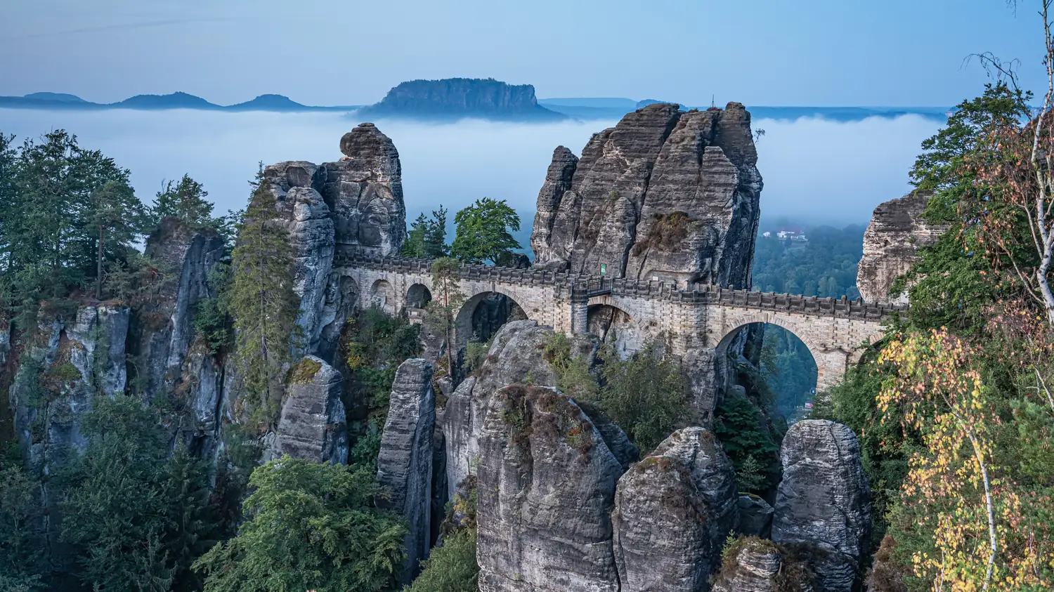 Saxon Switzerland · Germany
Malerweg
Eight stages on the painters' route through Saxon Switzerland: a figure of eight around the Elbe, over sandstone towers, dizzying ridge paths and stone steps, from Liebethal to Pirna.
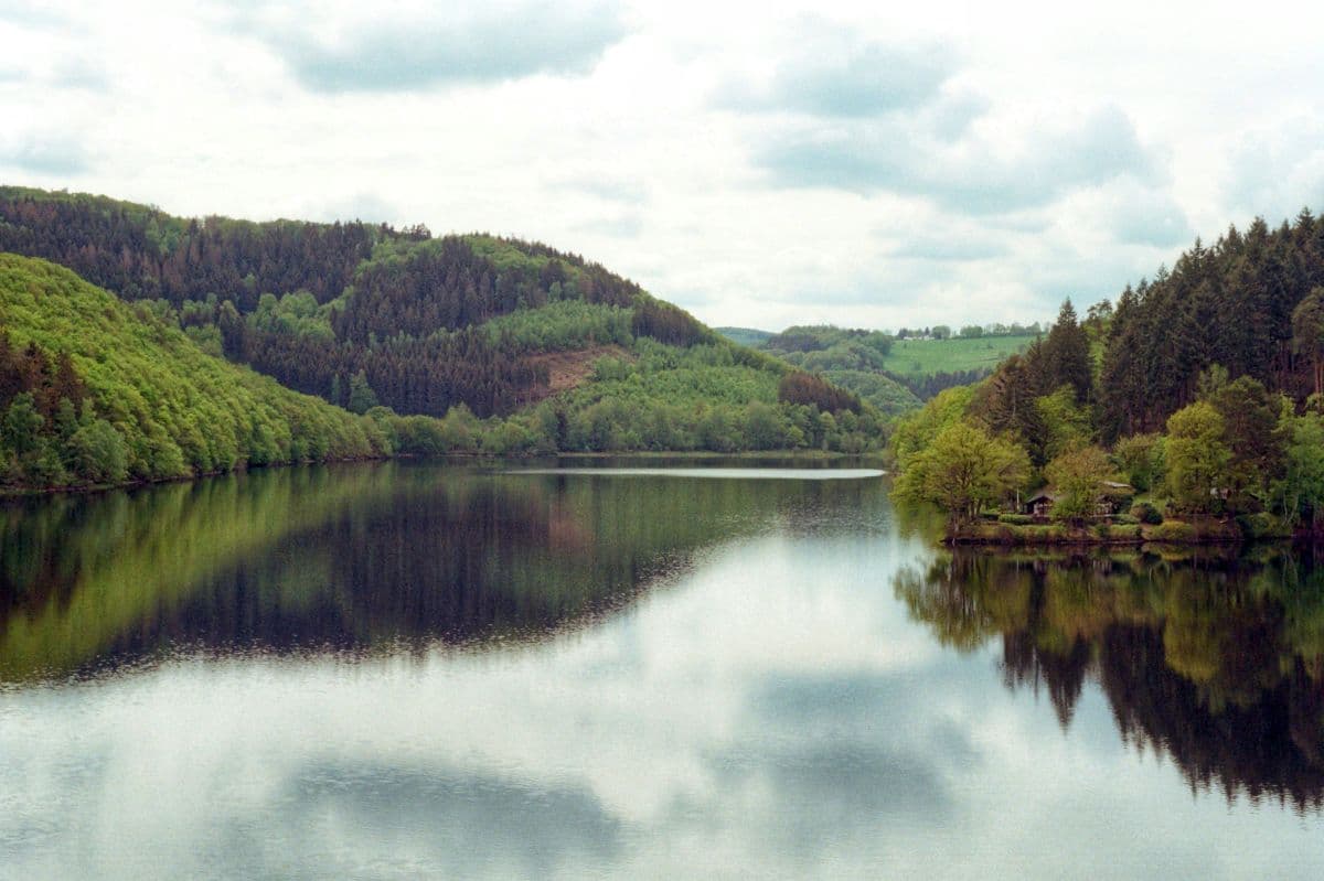 National Park Eifel · Germany
Wildnis Trail Eifel
Four days through the Eifel National Park: beech forests, open high plains and the lakes along the Rur, with the deserted village of Wollseifen.
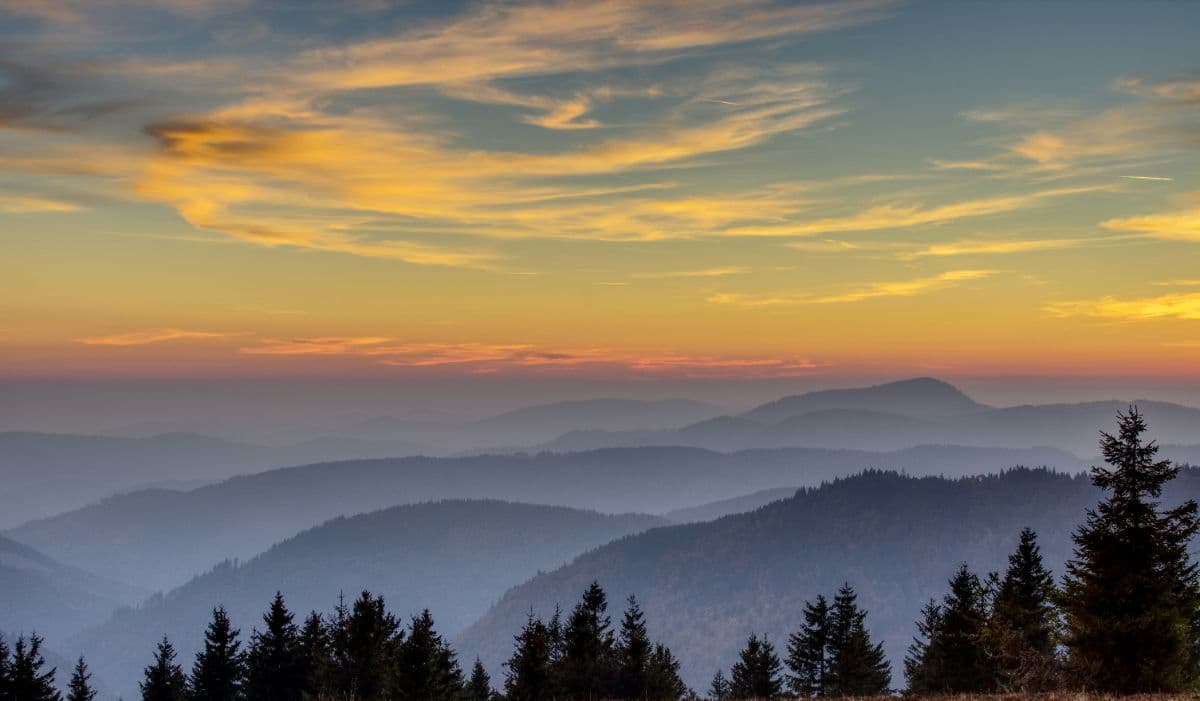 Südschwarzwald · Germany
Schluchtensteig
Six days of wild gorge walking in the Southern Black Forest: the Wutach gorge, its side ravines and seven gorges in total, from Stühlingen to Wehr.